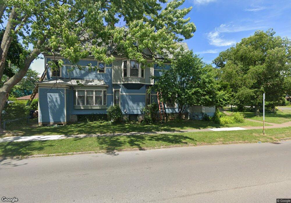
638 W Ferry St Unit W Buffalo, NY 14222
Elmwood Bidwell NeighborhoodEstimated Value: $609,000 - $738,000
7
Beds
3
Baths
2,997
Sq Ft
$233/Sq Ft
Est. Value
About This Home
This home is located at 638 W Ferry St Unit W, Buffalo, NY 14222 and is currently estimated at $697,402, approximately $232 per square foot. 638 W Ferry St Unit W is a home located in Erie County with nearby schools including Buffalo Creek Academy Charter School, Nardin Academy, and Nardin Academy High School.
Ownership History
Date
Name
Owned For
Owner Type
Purchase Details
Closed on
Aug 7, 2018
Sold by
Richmond Restoration Corporation
Bought by
Johnson Nels M
Current Estimated Value
Purchase Details
Closed on
Apr 29, 2011
Sold by
Kime Michael J and Kirkpatrick Nancy M
Bought by
Oakleaf Family Trust
Home Financials for this Owner
Home Financials are based on the most recent Mortgage that was taken out on this home.
Original Mortgage
$390,000
Interest Rate
4.76%
Mortgage Type
New Conventional
Purchase Details
Closed on
Oct 23, 2008
Sold by
Johnson Anastasia K
Bought by
Richmond Restoration Corporation
Create a Home Valuation Report for This Property
The Home Valuation Report is an in-depth analysis detailing your home's value as well as a comparison with similar homes in the area
Home Values in the Area
Average Home Value in this Area
Purchase History
| Date | Buyer | Sale Price | Title Company |
|---|---|---|---|
| Johnson Nels M | -- | None Available | |
| Johnson Nels M | -- | None Available | |
| Oakleaf Family Trust | $630,000 | None Available | |
| Oakleaf Family Trust | $630,000 | None Available | |
| Richmond Restoration Corporation | -- | None Available | |
| Richmond Restoration Corporation | -- | None Available |
Source: Public Records
Mortgage History
| Date | Status | Borrower | Loan Amount |
|---|---|---|---|
| Previous Owner | Oakleaf Family Trust | $390,000 |
Source: Public Records
Tax History Compared to Growth
Tax History
| Year | Tax Paid | Tax Assessment Tax Assessment Total Assessment is a certain percentage of the fair market value that is determined by local assessors to be the total taxable value of land and additions on the property. | Land | Improvement |
|---|---|---|---|---|
| 2024 | $1,616 | $319,000 | $82,200 | $236,800 |
| 2023 | $1,616 | $319,000 | $82,200 | $236,800 |
| 2022 | $1,604 | $319,000 | $82,200 | $236,800 |
| 2021 | $1,604 | $319,000 | $82,200 | $236,800 |
| 2020 | $539 | $319,000 | $82,200 | $236,800 |
| 2019 | $1,920 | $70,000 | $28,000 | $42,000 |
| 2018 | $1,807 | $70,000 | $28,000 | $42,000 |
| 2017 | $416 | $70,000 | $28,000 | $42,000 |
| 2016 | $1,704 | $70,000 | $28,000 | $42,000 |
| 2015 | -- | $70,000 | $28,000 | $42,000 |
| 2014 | -- | $70,000 | $28,000 | $42,000 |
Source: Public Records
Map
Nearby Homes
- 484 Richmond Ave
- 479 W Ferry St
- 523 Richmond Ave
- 30 S Putnam St Unit W
- 73 Baynes St
- 579 Breckenridge St
- 405 W Ferry St
- 88 Arnold St
- 71 Hoyt St
- 84 Arnold St
- 112 19th St
- 385 Auburn Ave
- 393 Hampshire St
- 20 Chenango St
- 46 18th St
- 344 Richmond Ave
- 359 Lafayette Ave
- 221 Lexington Ave
- 33 Colonial Cir
- 214 Highland Ave
- 638 W Ferry St
- 640 W Ferry St
- 498 W Ferry St
- 496 Richmond Ave
- 496 W Ferry St
- 11 Livingston St
- 472 Richmond Ave
- 472 W Ferry St
- 15 Livingston St
- 540 Massachusetts Ave
- 500 Richmond Ave
- 17 Livingston St
- 490 Richmond Ave
- 17 Livingston St
- 468 W Ferry St
- 484 W Ferry St
- 504 Richmond Ave
- 530 Massachusetts Ave
- 489 W Ferry St
- 482 W Ferry St