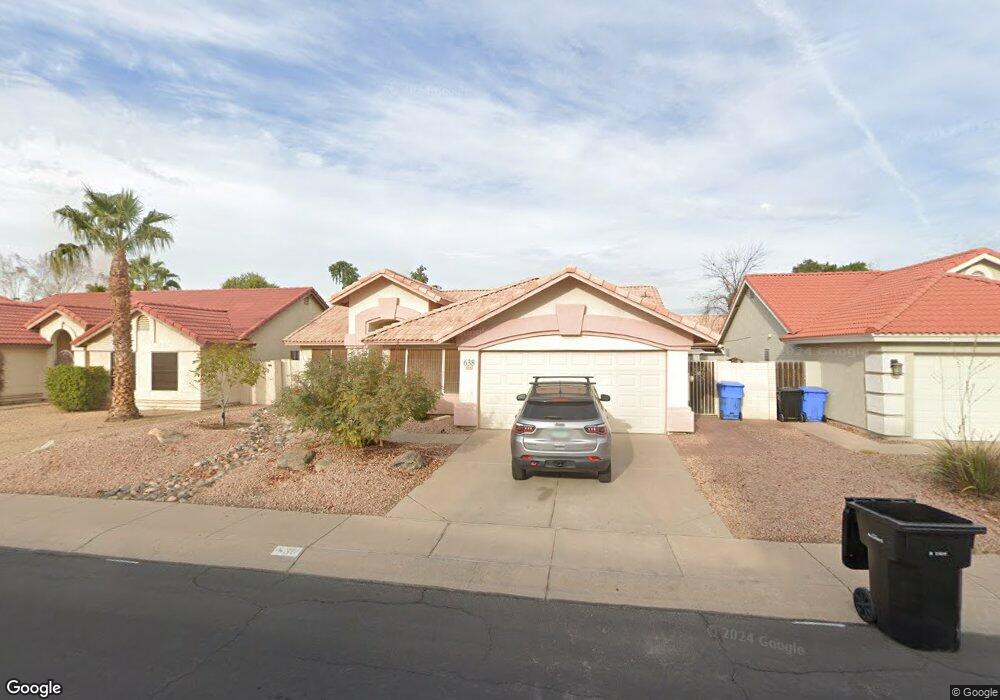
638 W Mesquite St Gilbert, AZ 85233
Downtown Gilbert NeighborhoodEstimated Value: $419,666 - $506,000
--
Bed
3
Baths
1,539
Sq Ft
$307/Sq Ft
Est. Value
About This Home
This home is located at 638 W Mesquite St, Gilbert, AZ 85233 and is currently estimated at $471,917, approximately $306 per square foot. 638 W Mesquite St is a home located in Maricopa County with nearby schools including Gilbert Elementary School, Mesquite Junior High School, and Mesquite High School.
Ownership History
Date
Name
Owned For
Owner Type
Purchase Details
Closed on
Jun 14, 2001
Sold by
Hedjazi Sharif and Hedjazi Paula K
Bought by
Ciesielski Michelle L
Current Estimated Value
Home Financials for this Owner
Home Financials are based on the most recent Mortgage that was taken out on this home.
Original Mortgage
$111,900
Outstanding Balance
$42,625
Interest Rate
7.14%
Mortgage Type
New Conventional
Estimated Equity
$429,292
Create a Home Valuation Report for This Property
The Home Valuation Report is an in-depth analysis detailing your home's value as well as a comparison with similar homes in the area
Home Values in the Area
Average Home Value in this Area
Purchase History
| Date | Buyer | Sale Price | Title Company |
|---|---|---|---|
| Ciesielski Michelle L | $139,900 | First American Title |
Source: Public Records
Mortgage History
| Date | Status | Borrower | Loan Amount |
|---|---|---|---|
| Open | Ciesielski Michelle L | $111,900 |
Source: Public Records
Tax History Compared to Growth
Tax History
| Year | Tax Paid | Tax Assessment Tax Assessment Total Assessment is a certain percentage of the fair market value that is determined by local assessors to be the total taxable value of land and additions on the property. | Land | Improvement |
|---|---|---|---|---|
| 2025 | $1,847 | $19,698 | -- | -- |
| 2024 | $1,812 | $18,760 | -- | -- |
| 2023 | $1,812 | $33,630 | $6,720 | $26,910 |
| 2022 | $1,869 | $25,180 | $5,030 | $20,150 |
| 2021 | $1,803 | $23,820 | $4,760 | $19,060 |
| 2020 | $1,799 | $21,970 | $4,390 | $17,580 |
| 2019 | $1,775 | $20,200 | $4,040 | $16,160 |
| 2018 | $1,625 | $18,660 | $3,730 | $14,930 |
| 2017 | $1,543 | $17,400 | $3,480 | $13,920 |
| 2016 | $1,297 | $16,770 | $3,350 | $13,420 |
| 2015 | $1,400 | $15,660 | $3,130 | $12,530 |
Source: Public Records
Map
Nearby Homes
- 824 W Mesquite St
- 854 W Mesquite St
- 507 W Sierra Madre Ave
- 709 W Catclaw St
- 444 W Comstock Ct
- 564 W Candlewood Ln
- 613 S Monterey St
- 869 W Emerald Island Dr
- 604 W Orchard Way
- 444 W Fabens Ln
- 1053 W Washington Ave
- 455 W Orchard Way
- 418 S Seawynds Blvd
- 217 W Smoke Tree Rd
- 564 W Aviary Way
- 1155 W Laredo Ave
- 243 W Candlewood Ln
- 510 W Amoroso Dr
- 918 W Barbados Dr
- 846 W Windhaven Ave
- 644 W Mesquite St
- 632 W Mesquite St
- 625 W Spur Ave
- 619 W Spur Ave
- 631 W Spur Ave
- 626 W Mesquite St
- 650 W Mesquite St
- 302 S Quail Ln
- 613 W Spur Ave
- 637 W Spur Ave
- 620 W Mesquite St
- 656 W Mesquite St
- 301 S Abilene Dr
- 301 S Quail Ln
- 308 S Quail Ln
- 643 W Spur Ave
- 607 W Spur Ave
- 626 W Spur Ave
- 307 S Abilene Dr
- 307 S Quail Ln