Estimated Value: $255,247 - $293,000
3
Beds
2
Baths
1,269
Sq Ft
$218/Sq Ft
Est. Value
About This Home
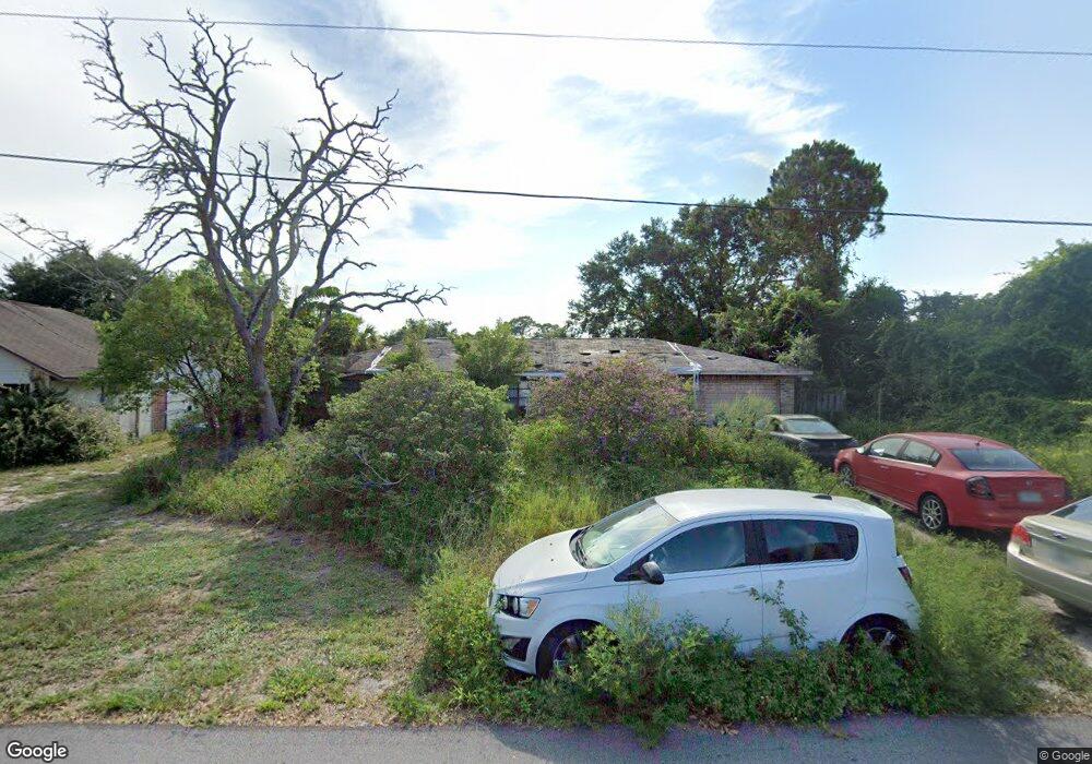
This home is located at 6380 Irving Rd, Cocoa, FL 32927 and is currently estimated at $276,562, approximately $217 per square foot. 6380 Irving Rd is a home located in Brevard County with nearby schools including Enterprise Elementary School, Space Coast Junior/Senior High School, and East Atlantic Prep of Brevard County.
Ownership History
Date
Name
Owned For
Owner Type
Purchase Details
Closed on
Nov 13, 1998
Sold by
Wooten Leland W and Wooten Linda M
Bought by
Hall Sabrina A
Current Estimated Value
Home Financials for this Owner
Home Financials are based on the most recent Mortgage that was taken out on this home.
Original Mortgage
$72,846
Outstanding Balance
$16,152
Interest Rate
6.77%
Estimated Equity
$260,410
Purchase Details
Closed on
Apr 12, 1996
Sold by
Rivers George John
Bought by
Wooten Leland W and Wooten Linda M
Home Financials for this Owner
Home Financials are based on the most recent Mortgage that was taken out on this home.
Original Mortgage
$58,900
Interest Rate
7.37%
Create a Home Valuation Report for This Property
The Home Valuation Report is an in-depth analysis detailing your home's value as well as a comparison with similar homes in the area
Home Values in the Area
Average Home Value in this Area
Purchase History
We collect this data history from publicly available records. To have your information removed, we recommend requesting removal directly through your county’s website.
| Date | Buyer | Sale Price | Title Company |
|---|---|---|---|
| Hall Sabrina A | $72,600 | -- | |
| Wooten Leland W | $62,000 | -- |
Source: Public Records
Mortgage History
We collect this data history from publicly available records. To have your information removed, we recommend requesting removal directly through your county’s website.
| Date | Status | Borrower | Loan Amount |
|---|---|---|---|
| Open | Hall Sabrina A | $72,846 | |
| Previous Owner | Wooten Leland W | $58,900 |
Source: Public Records
Tax History
| Year | Tax Paid | Tax Assessment Tax Assessment Total Assessment is a certain percentage of the fair market value that is determined by local assessors to be the total taxable value of land and additions on the property. | Land | Improvement |
|---|---|---|---|---|
| 2025 | $1,051 | $78,130 | -- | -- |
| 2024 | $1,025 | $75,930 | -- | -- |
| 2023 | $1,025 | $73,720 | $0 | $0 |
| 2022 | $966 | $71,580 | $0 | $0 |
| 2021 | $968 | $69,500 | $0 | $0 |
| 2020 | $923 | $68,550 | $0 | $0 |
| 2019 | $871 | $67,010 | $0 | $0 |
| 2018 | $872 | $65,770 | $0 | $0 |
| 2017 | $873 | $64,420 | $0 | $0 |
| 2016 | $880 | $63,100 | $18,000 | $45,100 |
| 2015 | $888 | $62,670 | $15,000 | $47,670 |
| 2014 | $892 | $62,180 | $11,000 | $51,180 |
Source: Public Records
Map
Nearby Homes
- 6438 Hudson Rd
- 6460 Irving Rd
- 5525 Fairbridge St
- No Access W
- 5424 Flint Rd
- 6442 Fairchild Ave
- 6570 Bancroft Ave
- 6581 Bancroft Ave
- 5770 Fairbridge St
- 6450 Ember Ave
- 6615 Dock Ave
- 6601 Cedar Ave
- 6643 Emil Ave
- 0 Aruin St Unit 1222557
- 6460 Ainsworth Rd
- 5220 Holden Rd
- 00 Unknown
- 6250 Ainsworth Rd
- 5614 Jamaica Rd
- 5209 Holden Rd
- 6370 Irving Rd
- 6429 La Brea Ave
- 6443 La Brea Ave
- 6415 La Brea Ave
- 6400 Irving Rd
- 6383 Irving Rd
- 6360 Irving Rd
- 6377 Irving Rd
- 6451 La Brea Ave
- 6397 Irving Rd
- 6410 Irving Rd
- 6409 Irving Rd
- 6459 La Brea Ave
- 6365 Irving Rd
- 5603 Ada St
- 6410 La Brea Ave
- 6444 Hudson Rd
- 6450 Hudson Rd
- 6400 La Brea Ave
- 6420 Irving Rd
Your Personal Tour Guide
Ask me questions while you tour the home.