Estimated Value: $465,000 - $638,000
--
Bed
1
Bath
2,647
Sq Ft
$212/Sq Ft
Est. Value
About This Home
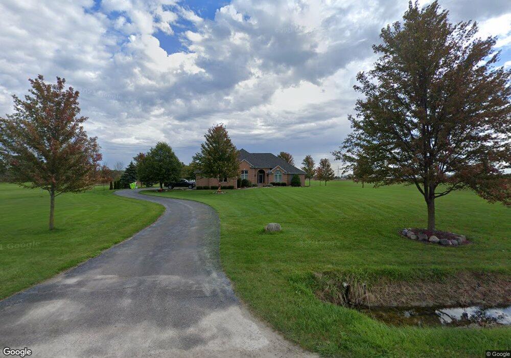
This home is located at 63800 Hartway Rd, Ray, MI 48096 and is currently estimated at $562,247, approximately $212 per square foot. 63800 Hartway Rd is a home located in Macomb County with nearby schools including Orville C. Krause Elementary School, Armada Middle School, and Armada High School.
Ownership History
Date
Name
Owned For
Owner Type
Purchase Details
Closed on
Aug 12, 2021
Sold by
Murrell Kent M
Bought by
Murrell Kent and Murrell Pamela
Current Estimated Value
Home Financials for this Owner
Home Financials are based on the most recent Mortgage that was taken out on this home.
Original Mortgage
$202,600
Interest Rate
2.1%
Mortgage Type
New Conventional
Create a Home Valuation Report for This Property
The Home Valuation Report is an in-depth analysis detailing your home's value as well as a comparison with similar homes in the area
Home Values in the Area
Average Home Value in this Area
Purchase History
| Date | Buyer | Sale Price | Title Company |
|---|---|---|---|
| Murrell Kent | -- | Fidelity National Title |
Source: Public Records
Mortgage History
| Date | Status | Borrower | Loan Amount |
|---|---|---|---|
| Closed | Murrell Kent | $202,600 |
Source: Public Records
Tax History Compared to Growth
Tax History
| Year | Tax Paid | Tax Assessment Tax Assessment Total Assessment is a certain percentage of the fair market value that is determined by local assessors to be the total taxable value of land and additions on the property. | Land | Improvement |
|---|---|---|---|---|
| 2025 | $6,061 | $289,600 | $0 | $0 |
| 2024 | $4,066 | $266,700 | $0 | $0 |
| 2023 | $5,302 | $243,900 | $0 | $0 |
| 2022 | $5,302 | $220,700 | $0 | $0 |
| 2021 | $5,164 | $214,700 | $0 | $0 |
| 2020 | $4,691 | $218,900 | $0 | $0 |
| 2019 | $4,691 | $207,800 | $0 | $0 |
| 2018 | $4,597 | $209,500 | $0 | $0 |
| 2017 | $4,501 | $201,200 | $30,500 | $170,700 |
| 2016 | $4,453 | $201,200 | $0 | $0 |
| 2015 | -- | $194,053 | $0 | $0 |
| 2012 | -- | $150,116 | $0 | $0 |
Source: Public Records
Map
Nearby Homes
- 21710 29 Mile 29 Mile
- 22222 29 Mile Rd
- 62408 Linda Dr
- 24555 Murray Lot C Dr
- 24437 Murray Lot B Dr
- 24701 Murray Lot D Dr
- 000 26 Mile Rd E
- 23401 29 Mile Rd
- 0 31 Mile Rd Parcel 3
- 61170 North Ave
- 0 31 Mile Rd Unit 50156618
- 67525 Hartway Rd
- 28 Mile
- 0006 Kunstman Rd
- 0011 Kunstman Rd
- 59405 Pilot Ln Unit Parcel B
- 23049 27 Mile Rd
- Vacant Omo Rd
- 0 32 Mile Rd Unit 50104250
- 0000 Cranston Rd
- 63880 Hartway Rd
- 63990 Hartway Rd
- 63670 Hartway Rd
- 64000 Hartway Rd
- 63580 Hartway Rd
- 64110 Hartway Rd
- 63933 Hartway Rd
- 64101 Hartway Rd
- 64025 Hartway Rd
- 64195 Hartway Rd
- 64320 Hartway Rd
- 64341 Hartway Rd
- 64350 Hartway Rd
- 64450 Hartway Rd
- 64433 Hartway Rd
- 63121 Hartway Rd
- 64455 Hartway Rd
- 64510 Hartway Rd
- 21909 29 Mile Rd
- 63140 Indian Trail