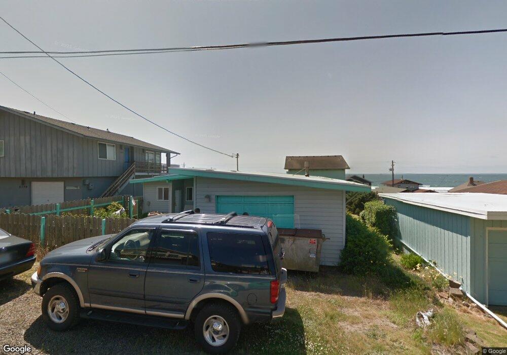
6381 NE Mast Ave Lincoln City, OR 97367
Estimated Value: $491,662 - $610,000
2
Beds
2
Baths
1,226
Sq Ft
$451/Sq Ft
Est. Value
About This Home
This home is located at 6381 NE Mast Ave, Lincoln City, OR 97367 and is currently estimated at $552,916, approximately $450 per square foot. 6381 NE Mast Ave is a home located in Lincoln County with nearby schools including Oceanlake Elementary School, Taft Elementary School, and Taft High School.
Ownership History
Date
Name
Owned For
Owner Type
Purchase Details
Closed on
Apr 22, 2009
Sold by
Pavlik Patricia K
Bought by
Ozyjowski Raymond P and Ozyjowski Connie L
Current Estimated Value
Home Financials for this Owner
Home Financials are based on the most recent Mortgage that was taken out on this home.
Original Mortgage
$198,400
Outstanding Balance
$125,958
Interest Rate
5.02%
Mortgage Type
Purchase Money Mortgage
Estimated Equity
$426,958
Create a Home Valuation Report for This Property
The Home Valuation Report is an in-depth analysis detailing your home's value as well as a comparison with similar homes in the area
Home Values in the Area
Average Home Value in this Area
Purchase History
| Date | Buyer | Sale Price | Title Company |
|---|---|---|---|
| Ozyjowski Raymond P | $248,000 | First American Title Ins Co |
Source: Public Records
Mortgage History
| Date | Status | Borrower | Loan Amount |
|---|---|---|---|
| Open | Ozyjowski Raymond P | $198,400 |
Source: Public Records
Tax History Compared to Growth
Tax History
| Year | Tax Paid | Tax Assessment Tax Assessment Total Assessment is a certain percentage of the fair market value that is determined by local assessors to be the total taxable value of land and additions on the property. | Land | Improvement |
|---|---|---|---|---|
| 2024 | $5,053 | $298,640 | -- | -- |
| 2023 | $4,914 | $289,950 | $0 | $0 |
| 2022 | $4,777 | $281,510 | $0 | $0 |
| 2021 | $4,550 | $273,320 | $0 | $0 |
| 2020 | $4,399 | $265,360 | $0 | $0 |
| 2019 | $4,236 | $257,640 | $0 | $0 |
| 2018 | $4,269 | $256,300 | $0 | $0 |
| 2017 | $4,088 | $248,840 | $0 | $0 |
| 2016 | $3,859 | $241,600 | $0 | $0 |
| 2015 | $3,773 | $234,570 | $0 | $0 |
| 2014 | $3,203 | $211,270 | $0 | $0 |
| 2013 | -- | $227,740 | $0 | $0 |
Source: Public Records
Map
Nearby Homes
- 6225 NW Logan Rd
- 6200 Blk NE Port Drive Tl 9200
- 6538 NE Logan Rd
- 6421 NE Port Dr
- 6604 NE Logan Rd
- TL-7900 NE Oar Dr
- 0 NE 64th Dr Unit TL12000 443875862
- TL10400 NE Sal La Sea Dr
- 1851 NE 67th St
- TL 12000 NE 64th Dr
- 1850 NE 68th St
- 1906 NE 69th St
- 5769 NW Logan Rd
- 5776 NW Keel Ave
- VL NE Neptune Dr
- 6937 NW Logan Rd
- 5771 NW Jetty Ave
- 7101 NW Logan Rd
- 1924 NE 71st St
- 7131 NW Logan Rd
- 6379 NE Mast Ave
- 1828 NE 64th St
- 6350 NE Logan Rd
- 6330 NW Logan Rd
- 6359 NE Mast Ave
- 6330 NE Logan Rd
- 6374 NE Mast Ave
- 2100 NE 64th # Blk St
- 2100 NE 64th # Blk St
- 6366 NE Mast Ave
- 6382 NE Mast Ave
- 6394 NE Mast Ave
- 6350 NE Mast Ave
- 6400 NE Mast Ave
- 6415 NE Mast Ave
- 6310 NE Logan Rd
- 6345 NE Mast Ave
- 1815 NE 64th St
- 6345 NW Logan Rd
- 6344 NE Mast Ave