6383 Woodland Cir Ashtabula, OH 44004
Kingsville NeighborhoodEstimated Value: $285,954 - $398,000
3
Beds
3
Baths
1,848
Sq Ft
$175/Sq Ft
Est. Value
About This Home
This home is located at 6383 Woodland Cir, Ashtabula, OH 44004 and is currently estimated at $323,989, approximately $175 per square foot. 6383 Woodland Cir is a home located in Ashtabula County with nearby schools including Kingsville Elementary School, Ridgeview Elementary School, and Wallace H. Braden Junior High School.
Ownership History
Date
Name
Owned For
Owner Type
Purchase Details
Closed on
Aug 9, 2011
Sold by
Lampela Alan C and Lampela Amy L
Bought by
Harper Eric
Current Estimated Value
Home Financials for this Owner
Home Financials are based on the most recent Mortgage that was taken out on this home.
Original Mortgage
$170,984
Outstanding Balance
$118,222
Interest Rate
4.54%
Mortgage Type
New Conventional
Estimated Equity
$205,767
Purchase Details
Closed on
Mar 27, 2006
Sold by
Rafle W Dale
Bought by
Lampela Alan and Loveridge Amy L
Create a Home Valuation Report for This Property
The Home Valuation Report is an in-depth analysis detailing your home's value as well as a comparison with similar homes in the area
Home Values in the Area
Average Home Value in this Area
Purchase History
| Date | Buyer | Sale Price | Title Company |
|---|---|---|---|
| Harper Eric | $165,000 | Buckeye Title | |
| Lampela Alan | $155,000 | None Available |
Source: Public Records
Mortgage History
| Date | Status | Borrower | Loan Amount |
|---|---|---|---|
| Open | Harper Eric | $170,984 |
Source: Public Records
Tax History Compared to Growth
Tax History
| Year | Tax Paid | Tax Assessment Tax Assessment Total Assessment is a certain percentage of the fair market value that is determined by local assessors to be the total taxable value of land and additions on the property. | Land | Improvement |
|---|---|---|---|---|
| 2024 | $5,507 | $77,430 | $13,690 | $63,740 |
| 2023 | $2,675 | $77,430 | $13,690 | $63,740 |
| 2022 | $2,224 | $57,760 | $10,540 | $47,220 |
| 2021 | $2,226 | $57,760 | $10,540 | $47,220 |
| 2020 | $2,251 | $57,760 | $10,540 | $47,220 |
| 2019 | $2,119 | $52,020 | $12,780 | $39,240 |
| 2018 | $2,040 | $52,020 | $12,780 | $39,240 |
| 2017 | $1,906 | $52,020 | $12,780 | $39,240 |
| 2016 | $1,773 | $44,840 | $10,990 | $33,850 |
| 2015 | $1,772 | $44,840 | $10,990 | $33,850 |
| 2014 | $1,713 | $44,840 | $10,990 | $33,850 |
| 2013 | $1,987 | $52,540 | $6,900 | $45,640 |
Source: Public Records
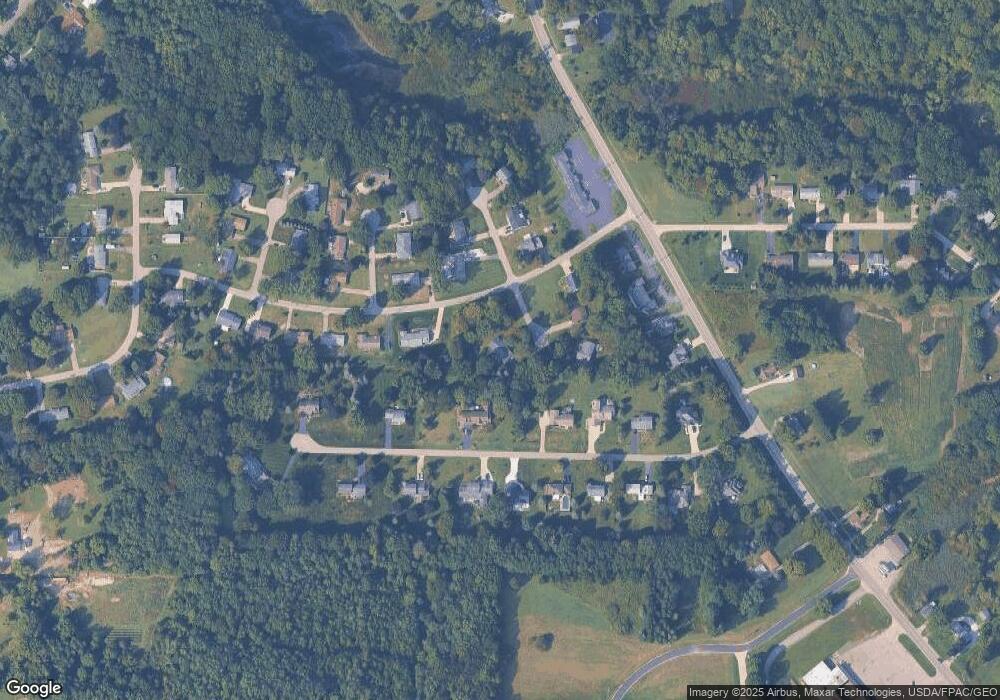
Map
Nearby Homes
- 6767 N Main St
- 6086 N Wright St
- 0 Village Green Unit 4049719
- 5309 N Ridge Rd E
- 2928 Placid Pointe Rd
- 7351 Regal Dr
- 5400 Arbor Dr
- 7328 Harmon Rd
- 6926 Reed Rd
- 7125 Harmony Glen Dr
- 6989 Reed Rd
- 7544 Glenwood Rd
- 7527 Tamkrist Trail
- 7032 Reed Rd
- 3339 Lake Rd
- 7630 Darling Ave
- 0 Gulf Ridge
- 7410 Fieldstone Ave
- 4234 Caylor Ct
- 4631 Diane Dr
- 2676 Lee Rd E
- 6407 Woodland Cir
- 2695 Gingertree Dr
- 2720 Lee Rd E
- 6390 Woodland Cir
- 2715 Gingertree Dr
- 2677 Lee Rd E
- 2715 Lee Rd E
- 6386 Woodland Cir
- 6417 Woodland Cir
- 2666 Lee Rd E
- 2675 Gingertree Dr
- 6414 Walrath Cir
- 2725 Gingertree Dr
- 6420 Woodland Cir
- 6430 Woodland Cir
- 6424 Walrath Cir
- 2656 Lee Rd E
- 6407 Walrath Cir
- 2735 Gingertree Dr