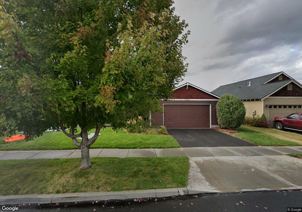
63837 Hunters Cir Bend, OR 97701
Boyd Acres NeighborhoodEstimated Value: $522,877 - $555,000
3
Beds
2
Baths
1,445
Sq Ft
$369/Sq Ft
Est. Value
About This Home
This home is located at 63837 Hunters Cir, Bend, OR 97701 and is currently estimated at $533,719, approximately $369 per square foot. 63837 Hunters Cir is a home located in Deschutes County with nearby schools including Lava Ridge Elementary School, Sky View Middle School, and Mountain View Senior High School.
Ownership History
Date
Name
Owned For
Owner Type
Purchase Details
Closed on
Nov 2, 2016
Sold by
Payer Stephen Mason and Payer Jennifer N
Bought by
Payer Stephane M and Payer Jennifer N
Current Estimated Value
Home Financials for this Owner
Home Financials are based on the most recent Mortgage that was taken out on this home.
Original Mortgage
$236,500
Outstanding Balance
$189,210
Interest Rate
3.48%
Mortgage Type
New Conventional
Estimated Equity
$344,509
Purchase Details
Closed on
Mar 28, 2006
Sold by
The Hollman Co Inc
Bought by
Payer Stephen Mason and Carrell Jennifer N
Home Financials for this Owner
Home Financials are based on the most recent Mortgage that was taken out on this home.
Original Mortgage
$231,900
Interest Rate
6.25%
Mortgage Type
Fannie Mae Freddie Mac
Create a Home Valuation Report for This Property
The Home Valuation Report is an in-depth analysis detailing your home's value as well as a comparison with similar homes in the area
Home Values in the Area
Average Home Value in this Area
Purchase History
| Date | Buyer | Sale Price | Title Company |
|---|---|---|---|
| Payer Stephane M | -- | Amerititle | |
| Payer Stephen Mason | $289,950 | Amerititle |
Source: Public Records
Mortgage History
| Date | Status | Borrower | Loan Amount |
|---|---|---|---|
| Open | Payer Stephane M | $236,500 | |
| Closed | Payer Stephen Mason | $231,900 |
Source: Public Records
Tax History Compared to Growth
Tax History
| Year | Tax Paid | Tax Assessment Tax Assessment Total Assessment is a certain percentage of the fair market value that is determined by local assessors to be the total taxable value of land and additions on the property. | Land | Improvement |
|---|---|---|---|---|
| 2025 | $3,553 | $210,290 | -- | -- |
| 2024 | $3,419 | $204,170 | -- | -- |
| 2023 | $3,169 | $198,230 | $0 | $0 |
| 2022 | $2,957 | $186,860 | $0 | $0 |
| 2021 | $2,961 | $181,420 | $0 | $0 |
| 2020 | $2,809 | $181,420 | $0 | $0 |
| 2019 | $2,731 | $176,140 | $0 | $0 |
| 2018 | $2,654 | $171,010 | $0 | $0 |
| 2017 | $2,576 | $166,030 | $0 | $0 |
| 2016 | $2,457 | $161,200 | $0 | $0 |
| 2015 | $2,389 | $156,510 | $0 | $0 |
| 2014 | $2,319 | $151,960 | $0 | $0 |
Source: Public Records
Map
Nearby Homes
- 63930 N Highway 97 Unit 42
- 63752 Hunters Cir
- 63759 Hunters Cir
- 20756 Legacy Place Unit 68
- 20709 Farenuff Place Unit 74
- 20777 My Longest Way Unit 48
- 20761 My Longest Way Unit 44
- 20753 My Longest Way Unit 42
- 20762 My Longest Way Unit 52
- 20773 My Longest Way Unit 47
- 63742 Pavillion Place Unit 64
- 20766 My Longest Way Unit 51
- 63704 Ranch Village Dr Unit 97
- 63673 Boyd Acres Rd
- 63702 & 63720 Clausen Rd
- 64100 N Highway 97 Unit 14
- 64100 N Highway 97 Unit 16
- 20706 Nicolette Dr
- 20960 Royal Oak Cir
- 20640 Kandi Ct
- 63841 Hunters Cir
- 63833 Hunters Cir
- 63845 Hunters Cir
- 63829 Hunters Cir
- 63834 Hunters Cir
- 63849 Hunters Cir
- 63825 Hunters Cir
- 63826 Hunters Cir
- 63822 Hunters Cir
- 63853 Hunters Cir
- 63821 Hunters Cir
- 63838 Hunters Cir
- 0 NE Bedford Place
- 63818 Hunters Cir
- 20755 Bedford Place
- 20725 Kilbourne Loop
- 20755 NE Bedford Place
- 20729 Kilbourne Loop
- 63842 Hunters Cir