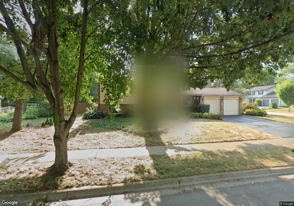
6384 Amston Dr Dublin, OH 43017
Riverside NeighborhoodEstimated Value: $317,000 - $344,303
3
Beds
2
Baths
1,300
Sq Ft
$251/Sq Ft
Est. Value
About This Home
This home is located at 6384 Amston Dr, Dublin, OH 43017 and is currently estimated at $326,826, approximately $251 per square foot. 6384 Amston Dr is a home located in Franklin County with nearby schools including Riverside Elementary School, Ann Simpson Davis Middle School, and Dublin Scioto High School.
Ownership History
Date
Name
Owned For
Owner Type
Purchase Details
Closed on
Oct 22, 2007
Sold by
Turnock Keith A and Turnock Danelle
Bought by
Turnock Keith A and Turnock Danelle
Current Estimated Value
Purchase Details
Closed on
Jun 30, 2004
Sold by
Korte Mark G and Korte Julie M
Bought by
Turnock Keith A
Home Financials for this Owner
Home Financials are based on the most recent Mortgage that was taken out on this home.
Original Mortgage
$148,129
Outstanding Balance
$72,603
Interest Rate
6.37%
Mortgage Type
FHA
Estimated Equity
$254,223
Purchase Details
Closed on
Dec 13, 1999
Sold by
Schriver Lessley D
Bought by
Korte Mark G and Korte Julie M
Home Financials for this Owner
Home Financials are based on the most recent Mortgage that was taken out on this home.
Original Mortgage
$88,900
Interest Rate
7.87%
Purchase Details
Closed on
May 30, 1990
Bought by
Schriver Lessley D
Purchase Details
Closed on
Aug 11, 1987
Purchase Details
Closed on
Jun 1, 1985
Create a Home Valuation Report for This Property
The Home Valuation Report is an in-depth analysis detailing your home's value as well as a comparison with similar homes in the area
Home Values in the Area
Average Home Value in this Area
Purchase History
| Date | Buyer | Sale Price | Title Company |
|---|---|---|---|
| Turnock Keith A | -- | Fati | |
| Turnock Keith A | $149,300 | Title First | |
| Korte Mark G | $118,900 | -- | |
| Schriver Lessley D | $86,600 | -- | |
| -- | $81,300 | -- | |
| -- | $74,300 | -- |
Source: Public Records
Mortgage History
| Date | Status | Borrower | Loan Amount |
|---|---|---|---|
| Open | Turnock Keith A | $148,129 | |
| Previous Owner | Korte Mark G | $88,900 |
Source: Public Records
Tax History
| Year | Tax Paid | Tax Assessment Tax Assessment Total Assessment is a certain percentage of the fair market value that is determined by local assessors to be the total taxable value of land and additions on the property. | Land | Improvement |
|---|---|---|---|---|
| 2025 | $5,881 | $97,230 | $38,220 | $59,010 |
| 2024 | $5,881 | $97,230 | $38,220 | $59,010 |
| 2023 | $5,798 | $97,230 | $38,220 | $59,010 |
| 2022 | $4,916 | $76,620 | $35,840 | $40,780 |
| 2021 | $4,996 | $76,620 | $35,840 | $40,780 |
| 2020 | $4,966 | $76,620 | $35,840 | $40,780 |
| 2019 | $4,315 | $58,940 | $27,580 | $31,360 |
| 2018 | $4,105 | $58,940 | $27,580 | $31,360 |
| 2017 | $3,984 | $58,940 | $27,580 | $31,360 |
| 2016 | $3,854 | $53,560 | $17,820 | $35,740 |
| 2015 | $3,878 | $53,560 | $17,820 | $35,740 |
| 2014 | $3,882 | $53,560 | $17,820 | $35,740 |
| 2013 | $1,876 | $50,995 | $16,975 | $34,020 |
Source: Public Records
Map
Nearby Homes
- 3107 Hamden Ct
- 3118 Baffin Ct
- 3223 Banting St
- 3263 Scioto Ridge Rd
- 2960 Sawdust Ln Unit 2960
- 2942 Sawdust Ln Unit 2942
- 6628 Brock St
- 6117 Maryhurst Dr
- 6187 Water Bank St
- 6171 Water Bank St
- 6074 Hildenboro Dr
- 5622 Riverside Dr
- 3064 Meadowsglen Ct
- 3143 Brampton St
- 6802 Chesley Rd
- 5935 Abbey Church Rd
- 6418 Reflections Dr Unit A
- 3075 Glenloch Cir Unit 3075
- 6486 Reflections Dr Unit A
- 6478 Reflections Dr Unit C
- 3130 Wakeshire Dr
- 6398 Amston Dr
- 3122 Wakeshire Dr
- 6389 Amston Dr
- 6381 Amston Dr
- 3139 Wakeshire Dr
- 3131 Wakeshire Dr
- 6373 Amston Dr
- 6401 Amston Dr
- 3110 Wakeshire Dr
- 3123 Wakeshire Dr
- 3113 Hamden Ct
- 6365 Amston Dr
- 3131 Cranston Dr
- 3115 Wakeshire Dr
- 286 Cranston Dr
- 3177 Cranston Dr
- 3196 Leesville Way
- 3190 Leesville Way
- 3101 Hamden Ct
Your Personal Tour Guide
Ask me questions while you tour the home.