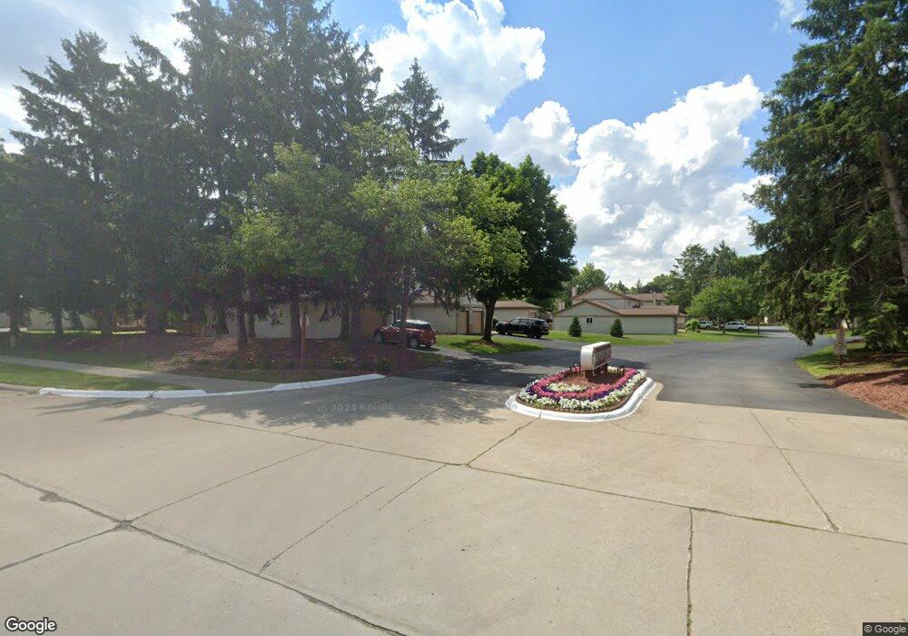
6384 Hunter Pointe St Unit 2 Westland, MI 48185
Estimated Value: $192,000 - $222,000
2
Beds
2
Baths
1,250
Sq Ft
$163/Sq Ft
Est. Value
About This Home
This home is located at 6384 Hunter Pointe St Unit 2, Westland, MI 48185 and is currently estimated at $203,234, approximately $162 per square foot. 6384 Hunter Pointe St Unit 2 is a home located in Wayne County with nearby schools including Wildwood Elementary School, Marshall Upper Elementary School, and Adlai Stevenson Middle School.
Ownership History
Date
Name
Owned For
Owner Type
Purchase Details
Closed on
Dec 28, 2009
Sold by
Hernandez Lana T and Walton Lana T
Bought by
Shearer Shirley
Current Estimated Value
Purchase Details
Closed on
Dec 14, 2006
Sold by
Suich Carol A
Bought by
Walton Lana T
Purchase Details
Closed on
Aug 18, 2003
Sold by
Warhurst Janice M
Bought by
Suich Carol A
Purchase Details
Closed on
Mar 12, 2001
Sold by
Johr Mary A Winters
Bought by
Warhurst Janice M
Purchase Details
Closed on
Oct 28, 1999
Sold by
Dolan Angela R
Bought by
Johr Mary A Winters
Create a Home Valuation Report for This Property
The Home Valuation Report is an in-depth analysis detailing your home's value as well as a comparison with similar homes in the area
Home Values in the Area
Average Home Value in this Area
Purchase History
| Date | Buyer | Sale Price | Title Company |
|---|---|---|---|
| Shearer Shirley | $60,000 | None Available | |
| Walton Lana T | $127,000 | Multiple | |
| Suich Carol A | $158,500 | Multiple | |
| Warhurst Janice M | $146,000 | -- | |
| Johr Mary A Winters | $130,000 | -- |
Source: Public Records
Tax History Compared to Growth
Tax History
| Year | Tax Paid | Tax Assessment Tax Assessment Total Assessment is a certain percentage of the fair market value that is determined by local assessors to be the total taxable value of land and additions on the property. | Land | Improvement |
|---|---|---|---|---|
| 2025 | $1,651 | $92,200 | $0 | $0 |
| 2024 | $1,651 | $88,700 | $0 | $0 |
| 2023 | $1,577 | $77,400 | $0 | $0 |
| 2022 | $1,790 | $70,000 | $0 | $0 |
| 2021 | $1,745 | $64,200 | $0 | $0 |
| 2020 | $1,726 | $63,700 | $0 | $0 |
| 2019 | $1,663 | $62,700 | $0 | $0 |
| 2018 | $1,297 | $55,900 | $0 | $0 |
| 2017 | $530 | $48,800 | $0 | $0 |
| 2016 | $1,618 | $48,800 | $0 | $0 |
| 2015 | $3,211 | $47,070 | $0 | $0 |
| 2013 | $3,111 | $32,570 | $0 | $0 |
| 2012 | $1,504 | $32,760 | $0 | $0 |
Source: Public Records
Map
Nearby Homes
- 35737 Hunter Ave
- 6546 Quail Run Cir
- 35754 Castlewood Ct
- 35863 Hunter Ave Unit 34
- 0 N Wayne Rd
- 7051 Wayne Rd
- 5942 N Walton St
- 35833 Ford Rd
- 6145 N Dowling St
- 6541 Pembrook Dr
- 0 Dowling Ave
- 34802 Pardo St
- 7330 Woodview St Unit 2
- 37186 Amhurst Dr Unit 5
- 34203 Tomahawk Dr
- 6026 Wilmer St
- 34752 John Hauk St
- 34036 Pawnee St
- 37175 Russell Dr
- 32238 Meridian Dr
- 6300 Hunter Pointe St
- 6312 Hunter Pointe St Unit 7
- 6289 Hunter Pointe St Unit 27
- 6283 Hunter Pointe St
- 6277 Hunter Pointe St Unit 25
- 6271 Hunter Pointe St
- 6319 Hunter Pointe St Unit 21
- 6325 Hunter Pointe St Unit 22
- 6253 Hunter Pointe St
- 35424 Dove Trail Unit 11
- 35424 Dove Trail
- 35424 Dove Trail Unit 3, 11
- 6247 Hunter Pointe St
- 6343 Hunter Pointe St
- 6324 Hunter Pointe St
- 6241 Hunter Pointe St Unit 32
- 6349 Hunter Pointe St Unit Bldg-Unit
- 6349 Hunter Pointe St Unit 15
- 6235 Hunter Pointe St Unit 31
- 6355 Hunter Pointe St