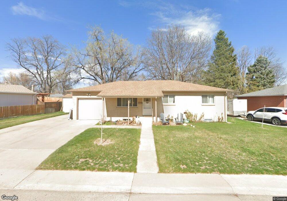
6387 Jellison Way Arvada, CO 80004
Alta Vista NeighborhoodEstimated Value: $615,000 - $661,000
5
Beds
3
Baths
2,292
Sq Ft
$278/Sq Ft
Est. Value
About This Home
This home is located at 6387 Jellison Way, Arvada, CO 80004 and is currently estimated at $637,174, approximately $277 per square foot. 6387 Jellison Way is a home located in Jefferson County with nearby schools including Lawrence Elementary School, Arvada K-8, and Arvada High School.
Ownership History
Date
Name
Owned For
Owner Type
Purchase Details
Closed on
May 19, 2025
Sold by
Dl Mcnabb Family Trust
Bought by
Mcnabb Dana Lynn
Current Estimated Value
Purchase Details
Closed on
Oct 6, 2017
Sold by
6387 Jellison Way Llc
Bought by
Dl Mcnabb Family Trust
Purchase Details
Closed on
May 11, 2017
Sold by
Nale Mae S
Bought by
6387 Jellison Way Llc
Create a Home Valuation Report for This Property
The Home Valuation Report is an in-depth analysis detailing your home's value as well as a comparison with similar homes in the area
Home Values in the Area
Average Home Value in this Area
Purchase History
| Date | Buyer | Sale Price | Title Company |
|---|---|---|---|
| Mcnabb Dana Lynn | -- | None Listed On Document | |
| Dl Mcnabb Family Trust | $459,000 | None Available | |
| 6387 Jellison Way Llc | $345,000 | None Available |
Source: Public Records
Tax History Compared to Growth
Tax History
| Year | Tax Paid | Tax Assessment Tax Assessment Total Assessment is a certain percentage of the fair market value that is determined by local assessors to be the total taxable value of land and additions on the property. | Land | Improvement |
|---|---|---|---|---|
| 2024 | $3,863 | $39,829 | $17,171 | $22,658 |
| 2023 | $3,863 | $39,829 | $17,171 | $22,658 |
| 2022 | $3,147 | $32,133 | $12,482 | $19,651 |
| 2021 | $3,199 | $33,057 | $12,841 | $20,216 |
| 2020 | $2,939 | $30,459 | $11,238 | $19,221 |
| 2019 | $2,900 | $30,459 | $11,238 | $19,221 |
| 2018 | $2,207 | $22,541 | $6,338 | $16,203 |
| 2017 | $1,375 | $22,541 | $6,338 | $16,203 |
| 2016 | $975 | $18,211 | $5,539 | $12,672 |
| 2015 | $747 | $18,211 | $5,539 | $12,672 |
| 2014 | $747 | $14,750 | $4,872 | $9,878 |
Source: Public Records
Map
Nearby Homes
- 6376 Brooks Dr
- 6371 Brooks Dr
- 10523 W 62nd Place
- 9656 Rensselaer Dr
- 6532 Kipling St
- 9667 W 63rd Ave
- 10693 W 63rd Dr Unit 102
- 6365 Nelson Ct
- 10694 W 63rd Place
- 6572 Kipling St
- 6428 Newcombe St Unit A
- 6363 Nelson Way
- 6571 Miller St
- 6114 Miller St
- 10731 W 63rd Ave Unit A
- 10785 W 63rd Place Unit 108
- 10784 W 63rd Place Unit 205
- 6380 Oak St Unit 301
- 6580 Independence Way
- 6138 Iris Way
- 6367 Jellison Way
- 6378 Brooks Dr
- 6374 Brooks Dr
- 6390 Janice Way
- 6347 Jellison Way
- 6388 Jellison Way
- 6368 Jellison Way
- 6380 Janice Way
- 6398 Jellison Way
- 6348 Jellison Way
- 6383 Brooks Dr
- 6327 Jellison Way
- 6385 Brooks Dr
- 6381 Brooks Dr
- 6387 Brooks Dr
- 6370 Janice Way
- 6389 Brooks Dr
- 6308 Jellison Way
- 6343 Johnson Way
- 6393 Johnson Way