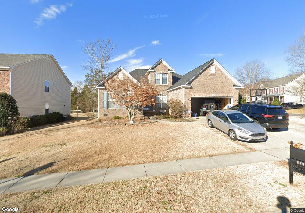
639 Alsace Ln Fort Mill, SC 29708
Gold Hill NeighborhoodEstimated Value: $479,813 - $600,000
3
Beds
2
Baths
2,157
Sq Ft
$248/Sq Ft
Est. Value
About This Home
This home is located at 639 Alsace Ln, Fort Mill, SC 29708 and is currently estimated at $535,203, approximately $248 per square foot. 639 Alsace Ln is a home located in York County with nearby schools including Springfield Elementary School, Springfield Middle School, and Nation Ford High School.
Ownership History
Date
Name
Owned For
Owner Type
Purchase Details
Closed on
Jun 13, 2014
Sold by
Bryson Allan
Bought by
Hampton Eric and Hampton Melissa Lynn
Current Estimated Value
Purchase Details
Closed on
Oct 30, 2008
Sold by
Nvr Inc
Bought by
Bryson Allan
Home Financials for this Owner
Home Financials are based on the most recent Mortgage that was taken out on this home.
Original Mortgage
$250,991
Interest Rate
6.11%
Mortgage Type
FHA
Purchase Details
Closed on
Aug 27, 2008
Sold by
Altura Road Llc
Bought by
Nvr Inc
Create a Home Valuation Report for This Property
The Home Valuation Report is an in-depth analysis detailing your home's value as well as a comparison with similar homes in the area
Home Values in the Area
Average Home Value in this Area
Purchase History
| Date | Buyer | Sale Price | Title Company |
|---|---|---|---|
| Hampton Eric | $255,000 | -- | |
| Bryson Allan | $256,478 | -- | |
| Nvr Inc | $60,280 | -- |
Source: Public Records
Mortgage History
| Date | Status | Borrower | Loan Amount |
|---|---|---|---|
| Previous Owner | Bryson Allan | $250,991 |
Source: Public Records
Tax History Compared to Growth
Tax History
| Year | Tax Paid | Tax Assessment Tax Assessment Total Assessment is a certain percentage of the fair market value that is determined by local assessors to be the total taxable value of land and additions on the property. | Land | Improvement |
|---|---|---|---|---|
| 2024 | $1,892 | $10,718 | $2,325 | $8,393 |
| 2023 | $1,834 | $10,718 | $2,325 | $8,393 |
| 2022 | $1,818 | $10,718 | $2,325 | $8,393 |
| 2021 | -- | $10,718 | $2,325 | $8,393 |
| 2020 | $1,952 | $10,718 | $0 | $0 |
| 2019 | $1,949 | $9,320 | $0 | $0 |
| 2018 | $2,058 | $9,320 | $0 | $0 |
| 2017 | $1,942 | $9,320 | $0 | $0 |
| 2016 | $1,917 | $9,320 | $0 | $0 |
| 2014 | $1,212 | $13,980 | $3,000 | $10,980 |
| 2013 | $1,212 | $8,500 | $2,000 | $6,500 |
Source: Public Records
Map
Nearby Homes
- 13308 Emerald Branch Ln
- 14009 Lambert Castle Dr
- 3559 Nestling Ln
- 525 Hunters Dance Rd
- 518 Hunters Dance Rd
- 15615 Smith Boyd Rd
- 463 Hunters Dance Rd
- 315 River Clay Rd
- 16200 Winfield Hall Dr
- 3400 Pleasant Rd
- 148 Council House Rd
- 878 Treasure Ct
- 263 River Clay Rd
- 14124 Southbridge Forest Dr
- 903 Furman Ct
- 646 Quicksilver Trail
- 657 Chase Ct
- 618 Chase Ct
- 13422 Canterbury Castle Dr
- 343 Gringley Hill Rd