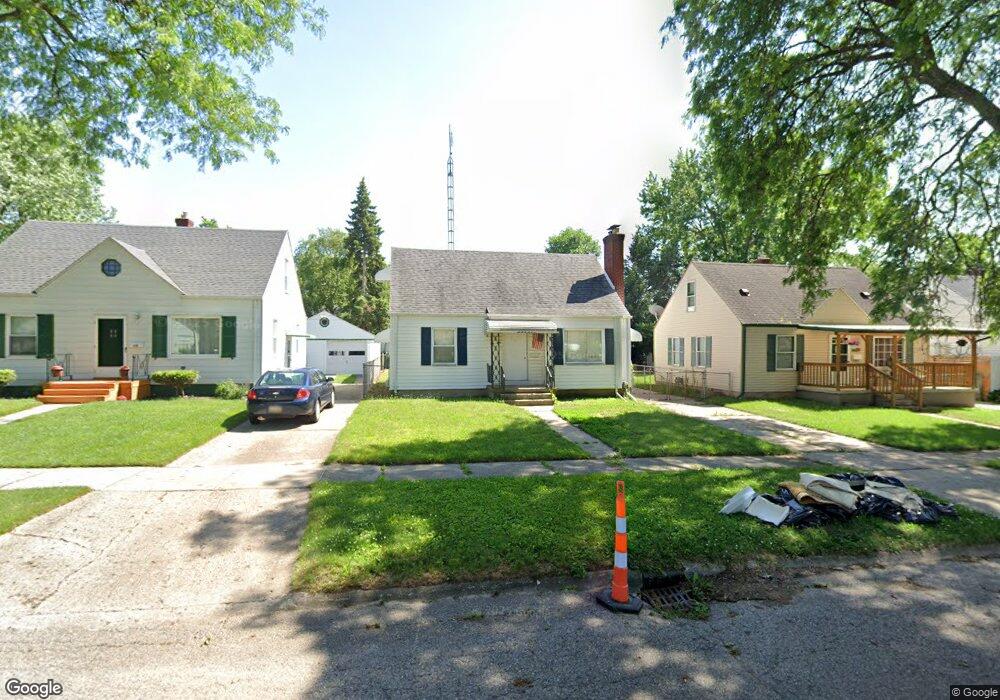
639 Clinton St Flint, MI 48507
South Side NeighborhoodEstimated Value: $48,000 - $76,000
3
Beds
2
Baths
1,116
Sq Ft
$58/Sq Ft
Est. Value
About This Home
This home is located at 639 Clinton St, Flint, MI 48507 and is currently estimated at $64,718, approximately $57 per square foot. 639 Clinton St is a home located in Genesee County with nearby schools including Neithercut Elementary School, Flint Southwestern Classical Academy, and International Academy of Flint (K-12).
Ownership History
Date
Name
Owned For
Owner Type
Purchase Details
Closed on
Feb 26, 2025
Sold by
Amerihome Mortgage Company Llc
Bought by
Overton Andrea and Overton Casselin U
Current Estimated Value
Purchase Details
Closed on
Sep 18, 2024
Sold by
Genesee County
Bought by
Amerihome Mortgage Company Llc
Purchase Details
Closed on
Mar 17, 2010
Sold by
Caruso Isabella Sullins
Bought by
Sowa Marie A
Home Financials for this Owner
Home Financials are based on the most recent Mortgage that was taken out on this home.
Original Mortgage
$32,402
Interest Rate
5.5%
Mortgage Type
FHA
Create a Home Valuation Report for This Property
The Home Valuation Report is an in-depth analysis detailing your home's value as well as a comparison with similar homes in the area
Home Values in the Area
Average Home Value in this Area
Purchase History
| Date | Buyer | Sale Price | Title Company |
|---|---|---|---|
| Overton Andrea | $32,325 | None Listed On Document | |
| Amerihome Mortgage Company Llc | $32,999 | None Listed On Document | |
| Sowa Marie A | $33,000 | Tran |
Source: Public Records
Mortgage History
| Date | Status | Borrower | Loan Amount |
|---|---|---|---|
| Previous Owner | Sowa Marie A | $32,402 |
Source: Public Records
Tax History Compared to Growth
Tax History
| Year | Tax Paid | Tax Assessment Tax Assessment Total Assessment is a certain percentage of the fair market value that is determined by local assessors to be the total taxable value of land and additions on the property. | Land | Improvement |
|---|---|---|---|---|
| 2025 | $1,205 | $26,900 | $0 | $0 |
| 2024 | $876 | $24,700 | $0 | $0 |
| 2023 | $861 | $18,600 | $0 | $0 |
| 2022 | $0 | $17,400 | $0 | $0 |
| 2021 | $894 | $15,200 | $0 | $0 |
| 2020 | $807 | $14,200 | $0 | $0 |
| 2019 | $787 | $12,000 | $0 | $0 |
| 2018 | $785 | $11,300 | $0 | $0 |
| 2017 | $763 | $0 | $0 | $0 |
| 2016 | $758 | $0 | $0 | $0 |
| 2015 | -- | $0 | $0 | $0 |
| 2014 | -- | $0 | $0 | $0 |
| 2012 | -- | $14,300 | $0 | $0 |
Source: Public Records
Map
Nearby Homes
- 652 Huron St
- 647 Crawford St
- 805 Alvord Ave
- 829 Clinton St
- 818 Alvord Ave
- 631 Campbell St
- 845 Alvord Ave
- 627 Campbell St
- 4418 Brunswick Ave
- 822 Campbell St
- 3902 Cuthbertson St
- 738 W Atherton Rd
- 727 Waldman Ave
- 1230 E Decamp St
- 1186 E Decamp St
- 1219 Norton St
- 1324 Allen St
- 1183 Norton St
- 0 Allen St Unit 50168596
- 616 Pettibone Ave