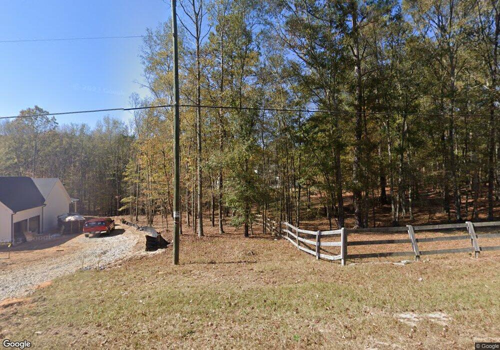
639 Davenport Rd Braselton, GA 30517
Estimated Value: $871,000 - $1,396,000
--
Bed
9
Baths
7,800
Sq Ft
$157/Sq Ft
Est. Value
About This Home
This home is located at 639 Davenport Rd, Braselton, GA 30517 and is currently estimated at $1,222,878, approximately $156 per square foot. 639 Davenport Rd is a home located in Jackson County with nearby schools including West Jackson Elementary School, West Jackson Middle School, and Jackson County High School.
Ownership History
Date
Name
Owned For
Owner Type
Purchase Details
Closed on
Sep 29, 2022
Sold by
The Olive Branch Llc
Bought by
Davenport Re Investment Llc
Current Estimated Value
Home Financials for this Owner
Home Financials are based on the most recent Mortgage that was taken out on this home.
Original Mortgage
$1,137,500
Outstanding Balance
$869,138
Interest Rate
5.66%
Mortgage Type
Mortgage Modification
Estimated Equity
$353,740
Purchase Details
Closed on
Jun 1, 2017
Sold by
Stone Jerry W
Bought by
Olive Branch Llc
Purchase Details
Closed on
Apr 8, 2004
Sold by
Hughes M T
Bought by
Stone Jerrry W and Stone Kathy E
Create a Home Valuation Report for This Property
The Home Valuation Report is an in-depth analysis detailing your home's value as well as a comparison with similar homes in the area
Home Values in the Area
Average Home Value in this Area
Purchase History
| Date | Buyer | Sale Price | Title Company |
|---|---|---|---|
| Davenport Re Investment Llc | $1,350,000 | -- | |
| Olive Branch Llc | $830,000 | -- | |
| Stone Jerrry W | $64,000 | -- |
Source: Public Records
Mortgage History
| Date | Status | Borrower | Loan Amount |
|---|---|---|---|
| Open | Davenport Re Investment Llc | $1,137,500 |
Source: Public Records
Tax History Compared to Growth
Tax History
| Year | Tax Paid | Tax Assessment Tax Assessment Total Assessment is a certain percentage of the fair market value that is determined by local assessors to be the total taxable value of land and additions on the property. | Land | Improvement |
|---|---|---|---|---|
| 2024 | $8,409 | $304,040 | $44,640 | $259,400 |
| 2023 | $8,380 | $272,920 | $44,640 | $228,280 |
| 2022 | $4,850 | $157,960 | $15,240 | $142,720 |
| 2021 | $4,221 | $136,560 | $15,240 | $121,320 |
| 2020 | $513 | $15,240 | $15,240 | $0 |
| 2019 | $520 | $15,240 | $15,240 | $0 |
| 2018 | $5,782 | $167,080 | $15,240 | $151,840 |
Source: Public Records
Map
Nearby Homes
- 532 Davenport Rd
- 0 Davenport Rd Unit 10583908
- 0 Davenport Rd Unit 16748330
- 1384 Pocket Rd
- 1745 Liberty Park Dr
- 298 Fox Creek Dr
- 111 Horned Owl Ave
- 5068 Highway 53
- 53 Ednaville Rd
- 21 Duck Rd
- 622 Pocket Rd
- 6647 Hwy 53
- 6647 Highway 53
- 1406 Sunny Valley Ln
- 1316 Sunny Valley Ln
- 1420 Sunny Valley Ln
- 1450 Sunny Valley Ln
- 1390 Sunny Valley Ln
- 0 Kinney Creek Ln Unit 10609320
- 587 Davenport Rd
- 587 Davenport
- 651 Davenport Rd
- 753 Davenport Rd
- 505 Davenport Rd
- 815 Davenport Rd
- 500 Davenport Rd
- 767 Davenport Rd
- 819 Davenport Rd
- 408 Davenport Rd
- 915 Davenport Rd
- 895 Davenport Rd
- 0 Davenport Rd Unit CM952807
- 0 Davenport Rd Unit 7425891
- 0 Davenport Rd Unit 7519492
- 0 Davenport Rd Unit 7243263
- 0 Davenport Rd Unit 7574332
- 0 Davenport Rd Unit 7313084
- 0 Davenport Rd Unit 7057017
