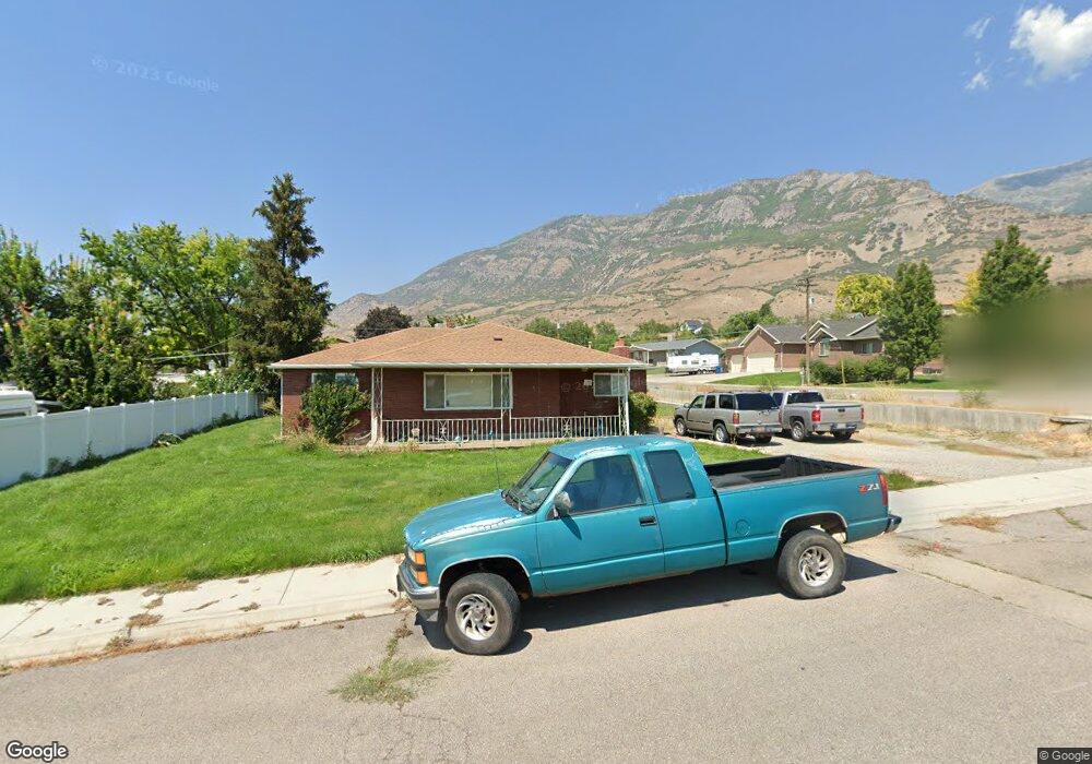
639 E 780 N Pleasant Grove, UT 84062
Estimated Value: $587,000 - $920,000
2
Beds
3
Baths
2,027
Sq Ft
$349/Sq Ft
Est. Value
About This Home
This home is located at 639 E 780 N, Pleasant Grove, UT 84062 and is currently estimated at $706,469, approximately $348 per square foot. 639 E 780 N is a home located in Utah County with nearby schools including Grovecrest Elementary School, Pleasant Grove Junior High School, and Pleasant Grove High School.
Ownership History
Date
Name
Owned For
Owner Type
Purchase Details
Closed on
Jun 4, 2010
Sold by
Cascade Locks Limited Partnership
Bought by
Carson Terry and Carson Michelle L
Current Estimated Value
Home Financials for this Owner
Home Financials are based on the most recent Mortgage that was taken out on this home.
Original Mortgage
$97,000
Outstanding Balance
$65,264
Interest Rate
5.05%
Mortgage Type
New Conventional
Estimated Equity
$641,205
Purchase Details
Closed on
Jan 7, 2010
Sold by
Carson Gary and Carson Jane
Bought by
Bmd Enterprises Llc
Create a Home Valuation Report for This Property
The Home Valuation Report is an in-depth analysis detailing your home's value as well as a comparison with similar homes in the area
Home Values in the Area
Average Home Value in this Area
Purchase History
| Date | Buyer | Sale Price | Title Company |
|---|---|---|---|
| Carson Terry | -- | Title West Orem | |
| Bmd Enterprises Llc | -- | Title West Orem |
Source: Public Records
Mortgage History
| Date | Status | Borrower | Loan Amount |
|---|---|---|---|
| Open | Carson Terry | $97,000 |
Source: Public Records
Tax History Compared to Growth
Tax History
| Year | Tax Paid | Tax Assessment Tax Assessment Total Assessment is a certain percentage of the fair market value that is determined by local assessors to be the total taxable value of land and additions on the property. | Land | Improvement |
|---|---|---|---|---|
| 2025 | $2,248 | $289,410 | $269,000 | $257,200 |
| 2024 | $2,248 | $268,180 | $0 | $0 |
| 2023 | $2,155 | $263,340 | $0 | $0 |
| 2022 | $2,106 | $255,970 | $0 | $0 |
| 2021 | $1,777 | $328,900 | $168,900 | $160,000 |
| 2020 | $1,625 | $294,900 | $150,800 | $144,100 |
| 2019 | $1,520 | $285,200 | $141,100 | $144,100 |
| 2018 | $1,552 | $275,400 | $131,300 | $144,100 |
| 2017 | $1,547 | $146,135 | $0 | $0 |
| 2016 | $1,602 | $146,135 | $0 | $0 |
| 2015 | $1,692 | $146,135 | $0 | $0 |
| 2014 | $1,633 | $139,700 | $0 | $0 |
Source: Public Records
Map
Nearby Homes
- 630 E 780 N
- 790 N Mahogany Dr
- 815 N Mahogany Dr
- 627 E 780 N
- 760 N Mahogany Dr
- 804 N Mahogany Dr
- 624 E 780 N
- 875 N Mahogany Dr
- 730 N Mahogany Dr
- 595 E 780 N
- 850 N Mahogany Dr
- 620 E 780 N
- 625 E 700 N
- 889 N Mahogany Dr
- 675 E 700 N
- 691 E 700 N Unit 11
- 691 E 700 N
- 697 E 700 N Unit 10
- 697 E 700 N
- 605 E 780 N