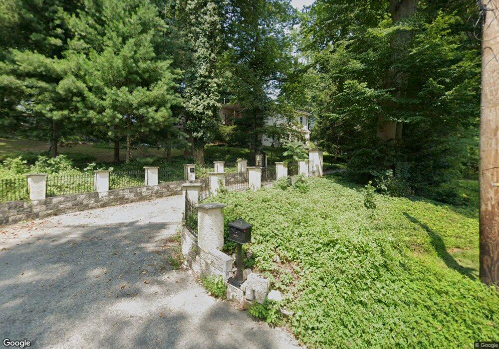
639 Ellis Rd Havertown, PA 19083
Estimated Value: $1,221,000 - $1,411,654
6
Beds
6
Baths
6,000
Sq Ft
$218/Sq Ft
Est. Value
About This Home
This home is located at 639 Ellis Rd, Havertown, PA 19083 and is currently estimated at $1,309,885, approximately $218 per square foot. 639 Ellis Rd is a home located in Delaware County with nearby schools including Coopertown Elementary School, Haverford Middle School, and Haverford Senior High School.
Ownership History
Date
Name
Owned For
Owner Type
Purchase Details
Closed on
Jun 26, 2013
Sold by
Butt Samira and Butt Amjad
Bought by
Butt Anam and Butt Saman
Current Estimated Value
Purchase Details
Closed on
Apr 27, 2005
Sold by
County National Bank
Bought by
Butt Amjad and Butt Samira
Home Financials for this Owner
Home Financials are based on the most recent Mortgage that was taken out on this home.
Original Mortgage
$240,000
Outstanding Balance
$118,321
Interest Rate
5%
Mortgage Type
Fannie Mae Freddie Mac
Estimated Equity
$1,191,564
Create a Home Valuation Report for This Property
The Home Valuation Report is an in-depth analysis detailing your home's value as well as a comparison with similar homes in the area
Home Values in the Area
Average Home Value in this Area
Purchase History
| Date | Buyer | Sale Price | Title Company |
|---|---|---|---|
| Butt Anam | -- | None Available | |
| Butt Amjad | $300,000 | Trident Land Transfer Co |
Source: Public Records
Mortgage History
| Date | Status | Borrower | Loan Amount |
|---|---|---|---|
| Open | Butt Amjad | $240,000 |
Source: Public Records
Tax History Compared to Growth
Tax History
| Year | Tax Paid | Tax Assessment Tax Assessment Total Assessment is a certain percentage of the fair market value that is determined by local assessors to be the total taxable value of land and additions on the property. | Land | Improvement |
|---|---|---|---|---|
| 2025 | $21,413 | $832,790 | $199,240 | $633,550 |
| 2024 | $21,413 | $832,790 | $199,240 | $633,550 |
| 2023 | $20,805 | $832,790 | $199,240 | $633,550 |
| 2022 | $20,319 | $832,790 | $199,240 | $633,550 |
| 2021 | $33,101 | $832,790 | $199,240 | $633,550 |
| 2020 | $17,979 | $386,830 | $107,350 | $279,480 |
| 2019 | $17,648 | $386,830 | $107,350 | $279,480 |
| 2018 | $17,345 | $386,830 | $0 | $0 |
| 2017 | $16,978 | $386,830 | $0 | $0 |
| 2016 | $2,166 | $386,830 | $0 | $0 |
| 2015 | $2,166 | $386,830 | $0 | $0 |
| 2014 | $2,166 | $386,830 | $0 | $0 |
Source: Public Records
Map
Nearby Homes
- 1741 Lawrence Rd
- 524 Ellis Rd
- 45 Garlor Dr
- 1702 Tyson Rd
- 333 Golf Hills Rd
- 1628 Mount Pleasant Rd
- 1711 Lynnewood Dr
- 1747 W Chester Pike Unit 41
- 1 Lawrence Rd Unit A3A
- 345 Ellis Rd
- 1510 Ashton Rd
- 212 Golf Hills Rd
- 1442 Dorchester Rd
- 7 Brighton Village Dr
- 1 Brighton Village Dr
- 1447 Lawrence Rd
- 1529 Brierwood Rd
- 107 Ivy Rock Ln
- 300 Rock Run Cir
- 1321 Annabella Ave