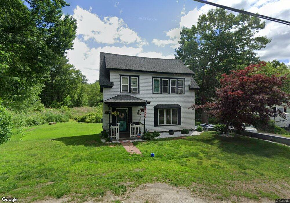
639 Hildreth St Dracut, MA 01826
Estimated Value: $460,443 - $550,000
3
Beds
2
Baths
1,410
Sq Ft
$348/Sq Ft
Est. Value
About This Home
This home is located at 639 Hildreth St, Dracut, MA 01826 and is currently estimated at $491,111, approximately $348 per square foot. 639 Hildreth St is a home located in Middlesex County with nearby schools including George H. Englesby Elementary School, Richardson Middle School, and Dracut Senior High School.
Ownership History
Date
Name
Owned For
Owner Type
Purchase Details
Closed on
Feb 22, 2000
Sold by
Community Teamwork Inc
Bought by
Tourville Robert and Tourville Gayle
Current Estimated Value
Home Financials for this Owner
Home Financials are based on the most recent Mortgage that was taken out on this home.
Original Mortgage
$88,110
Interest Rate
8.11%
Mortgage Type
Purchase Money Mortgage
Purchase Details
Closed on
Aug 9, 1991
Sold by
Cote Maurice P
Bought by
Rtc
Create a Home Valuation Report for This Property
The Home Valuation Report is an in-depth analysis detailing your home's value as well as a comparison with similar homes in the area
Home Values in the Area
Average Home Value in this Area
Purchase History
| Date | Buyer | Sale Price | Title Company |
|---|---|---|---|
| Tourville Robert | $97,900 | -- | |
| Rtc | $85,826 | -- |
Source: Public Records
Mortgage History
| Date | Status | Borrower | Loan Amount |
|---|---|---|---|
| Open | Rtc | $122,500 | |
| Closed | Rtc | $88,110 | |
| Previous Owner | Rtc | $60,000 |
Source: Public Records
Tax History
| Year | Tax Paid | Tax Assessment Tax Assessment Total Assessment is a certain percentage of the fair market value that is determined by local assessors to be the total taxable value of land and additions on the property. | Land | Improvement |
|---|---|---|---|---|
| 2025 | $3,662 | $361,900 | $180,400 | $181,500 |
| 2024 | $3,636 | $347,900 | $171,800 | $176,100 |
| 2023 | $3,482 | $300,700 | $149,400 | $151,300 |
| 2022 | $3,463 | $281,800 | $135,700 | $146,100 |
| 2021 | $8,576 | $256,800 | $123,400 | $133,400 |
| 2020 | $3,344 | $250,500 | $119,700 | $130,800 |
| 2019 | $3,098 | $225,300 | $114,000 | $111,300 |
| 2018 | $7,435 | $216,900 | $114,000 | $102,900 |
| 2017 | $2,936 | $216,900 | $114,000 | $102,900 |
| 2016 | $2,851 | $192,100 | $109,600 | $82,500 |
| 2015 | $2,755 | $184,500 | $109,600 | $74,900 |
| 2014 | $2,600 | $179,400 | $109,600 | $69,800 |
Source: Public Records
Map
Nearby Homes
- 551 Hildreth St Unit 10
- 75 Sladen St
- 417 Hildreth St Unit 30
- 16 Peabody Ave
- 1391 Bridge St
- 1563 Bridge St
- 367 Hildreth St Unit 14
- 1573 Bridge St
- 345 Hildreth St Unit 14
- 26 Frank St
- 23 Frank St Unit 2
- 54 Montaup Ave
- 26 Farmland Rd Unit C
- 19 Louis Farm Rd Unit 19
- 13 Louis Farm Rd Unit 13
- 69 Arlington St
- 40 Arlington Ave
- 15 Dana St
- 175 Willard St Unit 9
- 94 Hampson St
- 633 Hildreth St
- 625 Hildreth St
- 663 Hildreth St
- 630 Hildreth St
- 624 Hildreth St
- 619 Hildreth St
- 654 Hildreth St
- 667 Hildreth St
- 606 Hildreth St
- 611 Hildreth St
- 104 Hillside Rd
- 22 Lee Rd
- 127 Hillside Rd
- 112 Hillside Rd
- 84 Hillside Rd
- 599 Hildreth St
- 600 Hildreth St
- 33 Lee Rd
- 685 Hildreth St
- 74 Hillside Rd
Your Personal Tour Guide
Ask me questions while you tour the home.