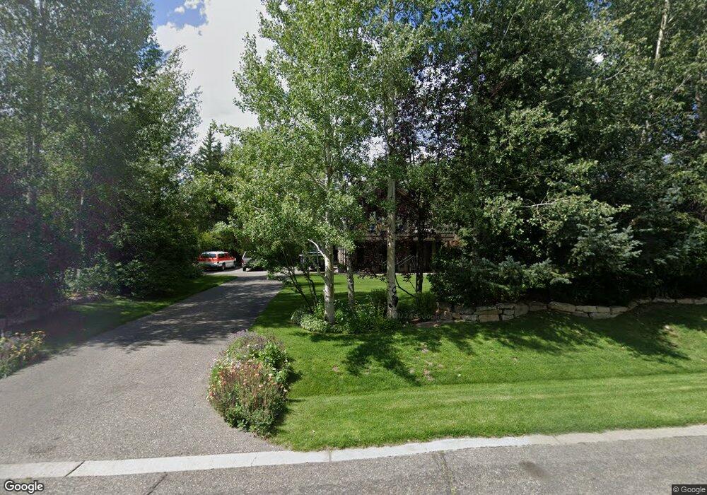
639 Lakota Ln Jackson, WY 83001
Estimated Value: $4,601,000 - $5,940,624
5
Beds
3
Baths
4,070
Sq Ft
$1,247/Sq Ft
Est. Value
About This Home
This home is located at 639 Lakota Ln, Jackson, WY 83001 and is currently estimated at $5,076,208, approximately $1,247 per square foot. 639 Lakota Ln is a home located in Teton County with nearby schools including Colter Elementary School, Jackson Hole Middle School, and Jackson Hole High School.
Ownership History
Date
Name
Owned For
Owner Type
Purchase Details
Closed on
Jan 23, 2019
Sold by
Stevenson Philip S and Stevenson Elizabeth A
Bought by
Stevenson Philip S and Stevenson Elizabeth A
Current Estimated Value
Purchase Details
Closed on
May 1, 2007
Sold by
Jennings John and Jennings Diana
Bought by
Stevenson Philip S and Stevenson Elizabeth A
Create a Home Valuation Report for This Property
The Home Valuation Report is an in-depth analysis detailing your home's value as well as a comparison with similar homes in the area
Home Values in the Area
Average Home Value in this Area
Purchase History
| Date | Buyer | Sale Price | Title Company |
|---|---|---|---|
| Stevenson Philip S | -- | None Available | |
| Stevenson Philip S | -- | Jackson Hole Title & Escrow |
Source: Public Records
Tax History Compared to Growth
Tax History
| Year | Tax Paid | Tax Assessment Tax Assessment Total Assessment is a certain percentage of the fair market value that is determined by local assessors to be the total taxable value of land and additions on the property. | Land | Improvement |
|---|---|---|---|---|
| 2025 | $25,697 | $410,563 | $111,754 | $298,809 |
| 2024 | $25,697 | $458,066 | $113,672 | $344,394 |
| 2023 | $25,392 | $451,578 | $111,688 | $339,890 |
| 2022 | $22,394 | $400,051 | $111,688 | $288,363 |
| 2021 | $16,586 | $291,096 | $51,300 | $239,796 |
| 2020 | $13,504 | $241,239 | $49,875 | $191,364 |
| 2019 | $12,606 | $220,952 | $51,647 | $169,305 |
| 2018 | $12,173 | $214,493 | $52,435 | $162,058 |
| 2017 | $10,538 | $181,834 | $49,833 | $132,001 |
| 2016 | $9,238 | $159,410 | $52,071 | $107,339 |
| 2015 | $3,936 | $154,571 | $33,392 | $121,179 |
| 2014 | $3,936 | $68,032 | $45,743 | $22,289 |
| 2013 | $3,936 | $68,032 | $45,743 | $22,289 |
Source: Public Records
Map
Nearby Homes
- 360 Arapahoe Ln
- 855 2244
- 1255 Allen Way
- 1874 Josephine Loop
- 3050 Whitehouse Dr
- 2057 Corner Creek Ln Unit 2
- 2176 Corner Creek Ln Unit C
- 265 Crabtree Ln
- 826 Powderhorn Ln Unit C
- 1090 Bluffs Dr
- 2122 Hidden Ranch Ln
- 1040 Smith Ln Unit 46
- 1070 Elk Run Ln Unit 5
- 1055 Maple Way Unit 32
- 1400&1450 S Hwy 89
- 1023 Budge Dr
- 855 W Broadway Ave
- 55 Virginian Ln Unit 55-2
- 9055 U S Highway 89
- 3375 W Killdeer Rd