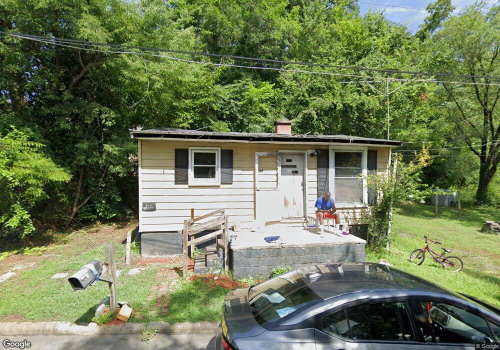
639 Lincoln St Reidsville, NC 27320
Estimated Value: $57,000 - $120,000
--
Bed
--
Bath
520
Sq Ft
$176/Sq Ft
Est. Value
About This Home
This home is located at 639 Lincoln St, Reidsville, NC 27320 and is currently estimated at $91,372, approximately $175 per square foot. 639 Lincoln St is a home located in Rockingham County with nearby schools including Moss Street Elementary, Reidsville High School, and Reidsville Middle School.
Ownership History
Date
Name
Owned For
Owner Type
Purchase Details
Closed on
Oct 7, 2025
Sold by
His & Hers Investment Properties Llc
Bought by
Jones Jamil A and Jones Cherry A
Current Estimated Value
Purchase Details
Closed on
Jan 12, 2024
Sold by
Wheeler Christopher L and Wheeler Asa S
Bought by
His & Hers Investment Properties Llc
Purchase Details
Closed on
Aug 31, 2007
Sold by
Mcnebb Eric and Mcnebb Helen
Bought by
Wheeler Christopher L and Wheeler Asa S
Create a Home Valuation Report for This Property
The Home Valuation Report is an in-depth analysis detailing your home's value as well as a comparison with similar homes in the area
Home Values in the Area
Average Home Value in this Area
Purchase History
| Date | Buyer | Sale Price | Title Company |
|---|---|---|---|
| Jones Jamil A | -- | None Listed On Document | |
| His & Hers Investment Properties Llc | $25,000 | None Listed On Document | |
| His & Hers Investment Properties Llc | $25,000 | None Listed On Document | |
| Wheeler Christopher L | $16,000 | None Available |
Source: Public Records
Tax History Compared to Growth
Tax History
| Year | Tax Paid | Tax Assessment Tax Assessment Total Assessment is a certain percentage of the fair market value that is determined by local assessors to be the total taxable value of land and additions on the property. | Land | Improvement |
|---|---|---|---|---|
| 2025 | $883 | $71,212 | $2,316 | $68,896 |
| 2024 | $323 | $26,084 | $2,316 | $23,768 |
| 2023 | $234 | $16,299 | $1,930 | $14,369 |
| 2022 | $234 | $16,299 | $1,930 | $14,369 |
| 2021 | $234 | $16,299 | $1,930 | $14,369 |
| 2020 | $234 | $16,299 | $1,930 | $14,369 |
| 2019 | $234 | $16,299 | $1,930 | $14,369 |
| 2018 | $309 | $21,544 | $4,430 | $17,114 |
| 2017 | $309 | $21,544 | $4,430 | $17,114 |
| 2015 | $313 | $21,544 | $4,430 | $17,114 |
| 2014 | -- | $21,544 | $4,430 | $17,114 |
Source: Public Records
Map
Nearby Homes
- 971 Willow St
- 304 Roanoke St
- 137 Ridge St
- 112 Field St
- 117 Ridge St
- 115 N Harris St
- 101 S Branch St
- 403 Pennsylvania Ave
- 217 Carter St Unit A & B
- 312 Church St
- 309 Leary Cir Unit 311
- 1053 N Scales St
- 403 Carroll St
- 604 Wentworth St
- 00 E Morehead St
- 122 N Main St
- 00 Robinson Cir
- 315 Hubbard St
- 501 N Washington Ave
- 335 S Branch St
- 637 Lincoln St
- 641 Lincoln St
- 631 Lincoln St
- 513 Warriner St
- 636 Lincoln St
- 511 Warriner St
- 625 Lincoln St
- 509 Warriner St
- 634 Lincoln St
- 505 Warriner St
- 632 Lincoln St
- 621 Lincoln St
- 630 Lincoln St
- 503 Warriner St
- 508 Warriner St
- 510 Warriner St
- 506 Warriner St
- 619 Lincoln St
- 624 Lincoln St
- 501 Warriner St