639 N Point Dr Grayling, MI 49738
Grayling AreaEstimated Value: $307,000 - $533,000
About This Home
This home is located at 639 N Point Dr, Grayling, MI 49738 and is currently estimated at $449,178, approximately $172 per square foot. 639 N Point Dr is a home located in Crawford County with nearby schools including Grayling Elementary School, Grayling Middle School, and Grayling High School.
Ownership History
We collect this data history from publicly available records. To have your information removed, we recommend requesting removal directly through your county’s website.
Purchase Details
Home Financials for this Owner
Home Financials are based on the most recent Mortgage that was taken out on this home.Purchase Details
Purchase Details
Purchase Details
Purchase Details
Purchase History
We collect this data history from publicly available records. To have your information removed, we recommend requesting removal directly through your county’s website.
| Date | Buyer | Sale Price | Title Company |
|---|---|---|---|
| $183,000 | -- | ||
| -- | -- | ||
| -- | -- | ||
| $160,200 | -- | ||
| $65,000 | -- |
Mortgage History
We collect this data history from publicly available records. To have your information removed, we recommend requesting removal directly through your county’s website.
| Date | Status | Borrower | Loan Amount |
|---|---|---|---|
| Open | $137,000 | ||
| Closed | $164,700 |
Tax History
We collect this data history from publicly available records. To have your information removed, we recommend requesting removal directly through your county’s website.
| Year | Tax Paid | Tax Assessment Tax Assessment Total Assessment is a certain percentage of the fair market value that is determined by local assessors to be the total taxable value of land and additions on the property. | Land | Improvement |
|---|---|---|---|---|
| 2026 | $6,260 | $202,100 | $202,100 | $0 |
| 2025 | $4,317 | $209,900 | $209,900 | $0 |
| 2024 | $4,233 | $207,200 | $207,200 | $0 |
| 2023 | $4,059 | $173,000 | $173,000 | $0 |
| 2022 | $3,854 | $142,400 | $142,400 | $0 |
| 2021 | $5,219 | $138,400 | $138,400 | $0 |
| 2020 | $5,151 | $130,900 | $130,900 | $0 |
| 2019 | $3,659 | $120,900 | $120,900 | $0 |
| 2018 | $4,941 | $133,700 | $133,700 | $0 |
| 2017 | $3,691 | $138,200 | $138,200 | $0 |
| 2016 | $3,659 | $121,100 | $121,100 | $0 |
| 2015 | -- | $121,100 | $0 | $0 |
| 2014 | -- | $112,700 | $0 | $0 |
| 2013 | -- | $94,300 | $0 | $0 |
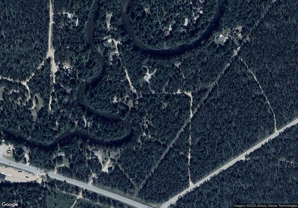
Map
- 11846 W M-72 Hwy
- 15981 Snay Dr SE
- 15823 Haag Rd SE
- 15549 Michigan 72
- 1733 N Manistee River Rd
- 2323 Hummingbird Ln
- 2058 N Manistee River Rd
- 14972 Riverview Rd SE
- VL 20-29 Monroe Ave
- V/L L18-21 Monroe Ave
- 10333 Madison Ave
- 2894 White Pine Dr
- V/L 6 Lots Battalion Blvd
- 0 Battalion Blvd Unit 1940218
- V/L Eagle Point Rd
- 9402 Battalion Blvd
- 9246 Outing Place
- 9143 N Lake Shore Dr
- Kool Rd
- 12575 Michigan 72
- 630 N Point Dr
- 603 N Point Dr
- 685 N Point Dr
- 644 N Shady Ln
- 713 N Point Dr
- 731 N Point Dr
- 731 N Point Dr
- 575 N Point Dr
- 721 N Point Dr
- 11654 W M 72 Hwy
- 648 N Shady Ln
- 874 Wood River Rd
- 799 Wood River Rd
- 654 N Shady Ln
- 672 N Shady Ln
- 658 N Shady Ln
- 688 N Shady Ln
- 11728 W M 72 Hwy
- 0 Wood River Rd Unit Parcel G1 & G2
- 825 Wood River Rd
Ask me questions while you tour the home.