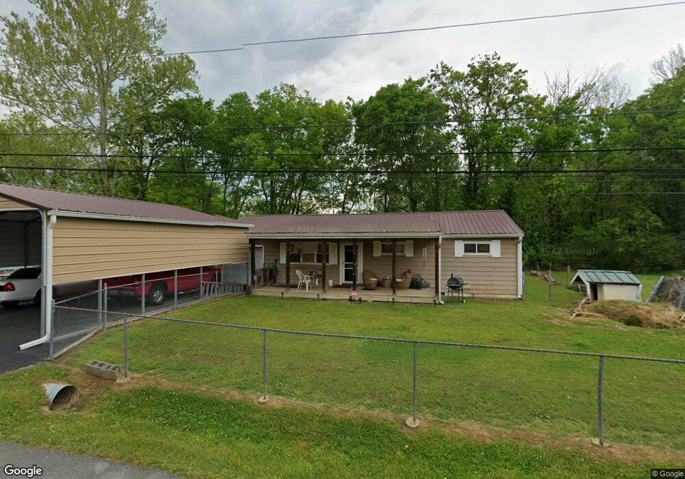
639 N Sherry Dr Rossville, GA 30741
Estimated Value: $190,000 - $245,118
--
Bed
1
Bath
1,008
Sq Ft
$205/Sq Ft
Est. Value
About This Home
This home is located at 639 N Sherry Dr, Rossville, GA 30741 and is currently estimated at $206,780, approximately $205 per square foot. 639 N Sherry Dr is a home located in Walker County with nearby schools including Rossville Elementary School, Rossville Middle School, and Ridgeland High School.
Ownership History
Date
Name
Owned For
Owner Type
Purchase Details
Closed on
Sep 7, 2023
Sold by
Mann Jason Duane
Bought by
Coppock John C Trust
Current Estimated Value
Purchase Details
Closed on
May 20, 2019
Sold by
Fairlane Holdings Gp
Bought by
Mpsp Fairlane Oaks Mhc Llc
Purchase Details
Closed on
Feb 19, 2016
Sold by
Harris Julie Anne
Bought by
Mann Jason Duane
Purchase Details
Closed on
Mar 31, 1997
Sold by
Mann Julie Anne
Bought by
Harris Julie Anne
Purchase Details
Closed on
Mar 14, 1978
Sold by
Mann Gerald L and Julia Ann
Bought by
Mann Julie Anne
Purchase Details
Closed on
Apr 2, 1971
Bought by
Mann Gerald L and Julia Ann
Create a Home Valuation Report for This Property
The Home Valuation Report is an in-depth analysis detailing your home's value as well as a comparison with similar homes in the area
Home Values in the Area
Average Home Value in this Area
Purchase History
| Date | Buyer | Sale Price | Title Company |
|---|---|---|---|
| Coppock John C Trust | $229,900 | -- | |
| Mpsp Fairlane Oaks Mhc Llc | $7,500,000 | -- | |
| Mann Jason Duane | -- | -- | |
| Harris Julie Anne | -- | -- | |
| Mann Julie Anne | -- | -- | |
| Mann Gerald L | -- | -- |
Source: Public Records
Tax History Compared to Growth
Tax History
| Year | Tax Paid | Tax Assessment Tax Assessment Total Assessment is a certain percentage of the fair market value that is determined by local assessors to be the total taxable value of land and additions on the property. | Land | Improvement |
|---|---|---|---|---|
| 2024 | $1,255 | $56,871 | $4,751 | $52,120 |
| 2023 | $1,222 | $54,164 | $4,751 | $49,413 |
| 2022 | $1,155 | $47,383 | $4,751 | $42,632 |
| 2021 | $884 | $32,454 | $4,751 | $27,703 |
| 2020 | $800 | $28,202 | $4,751 | $23,451 |
| 2019 | $752 | $25,948 | $4,751 | $21,197 |
| 2018 | $687 | $25,948 | $4,751 | $21,197 |
| 2017 | $765 | $25,948 | $4,751 | $21,197 |
| 2016 | $765 | $25,948 | $4,751 | $21,197 |
| 2015 | $716 | $22,492 | $4,680 | $17,812 |
| 2014 | $632 | $22,492 | $4,680 | $17,812 |
| 2013 | $687 | $22,492 | $4,680 | $17,812 |
Source: Public Records
Map
Nearby Homes
- 635 N Sherry Dr
- 601 James St
- 715 W James St
- 717 W James St
- 53 Charlsie Trail Unit 12
- 610 Union Ave
- 724 Shelly Ln
- 816 Indian Ave
- 126 S Liner St
- 1014 Wilson Rd
- 1014 Lee Ave
- 732 Salem Rd
- 211 Pat Webb Cir
- 916 Logan Ave
- 200 W Oak St
- 105 Elm St
- 1204 Wooden Ave
- 4 Carroll Ln
- 806 Mcfarland Ave
- 527 W Gordon Ave
- 1301 Raydine Ln
- 1303 Raydine Ln
- 1302 W Sherry Dr
- 631 N Sherry Dr
- 1304 W Sherry Dr
- 1300 Raydine Ln
- 1302 Raydine Ln
- 1307 Raydine Ln
- 1306 W Sherry Dr
- 643 N Sherry Dr
- 629 N Sherry Dr
- 1304 Raydine Ln
- 1308 W Sherry Dr
- 1309 Raydine Ln
- 1301 E Sherry Dr
- 1303 E Sherry Dr
- 627 N Sherry Dr
- 1305 E Sherry Dr
- 1311 Raydine Ln
- 1308 Raydine Ln