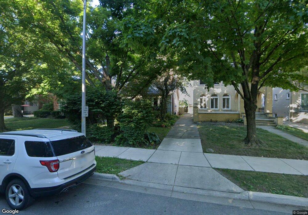
639 Neff Rd Grosse Pointe, MI 48230
Estimated Value: $316,812 - $364,000
Studio
1
Bath
1,446
Sq Ft
$233/Sq Ft
Est. Value
About This Home
This home is located at 639 Neff Rd, Grosse Pointe, MI 48230 and is currently estimated at $337,453, approximately $233 per square foot. 639 Neff Rd is a home located in Wayne County with nearby schools including Lewis Maire Elementary School, Pierce Middle School, and Grosse Pointe South High School.
Ownership History
Date
Name
Owned For
Owner Type
Purchase Details
Closed on
Sep 5, 2024
Sold by
Hall Angela and Hall Angelliki Angela
Bought by
Hall Angelliki Angela and Hall Laura E
Current Estimated Value
Purchase Details
Closed on
Jul 1, 2009
Sold by
Nault Phillips Shawn R and Nault Phillips Michelle
Bought by
First State Bank Mortgage Company
Purchase Details
Closed on
Jun 25, 2001
Sold by
St John Josephine Dossin
Bought by
Nault Michelle A
Create a Home Valuation Report for This Property
The Home Valuation Report is an in-depth analysis detailing your home's value as well as a comparison with similar homes in the area
Home Values in the Area
Average Home Value in this Area
Purchase History
| Date | Buyer | Sale Price | Title Company |
|---|---|---|---|
| Hall Angelliki Angela | -- | None Listed On Document | |
| First State Bank Mortgage Company | $92,688 | None Available | |
| Nault Michelle A | $200,000 | -- |
Source: Public Records
Tax History
| Year | Tax Paid | Tax Assessment Tax Assessment Total Assessment is a certain percentage of the fair market value that is determined by local assessors to be the total taxable value of land and additions on the property. | Land | Improvement |
|---|---|---|---|---|
| 2025 | $2,676 | $125,000 | $0 | $0 |
| 2024 | $2,586 | $118,800 | $0 | $0 |
| 2023 | $2,466 | $115,100 | $0 | $0 |
| 2022 | $4,045 | $104,700 | $0 | $0 |
| 2021 | $3,893 | $97,400 | $0 | $0 |
| 2019 | $3,924 | $84,700 | $0 | $0 |
| 2018 | $2,141 | $75,800 | $0 | $0 |
| 2017 | $2,989 | $74,900 | $0 | $0 |
| 2016 | $3,572 | $71,200 | $0 | $0 |
| 2015 | $6,110 | $65,000 | $0 | $0 |
| 2013 | $5,919 | $63,400 | $0 | $0 |
| 2012 | -- | $57,800 | $0 | $0 |
Source: Public Records
Map
Nearby Homes
- 775 Notre Dame St
- 516 Neff Ln
- 612 Cadieux Rd
- 614 Rivard Blvd
- 781 Loraine St
- 25 Village Ln
- 47 Cranford Ln
- 42 Cranford Ln
- 1264 Bishop Rd
- 30 Cranford Ln
- 379 Lakeland St
- 1030 Bishop Rd
- 180 Fisher Rd
- 355 Lincoln Rd
- 345 Roosevelt Place
- 1425 Bishop Rd
- 386 Notre Dame St
- 719 Fisher Rd
- 3482 Grayton St
- 256 Fisher Rd
Your Personal Tour Guide
Ask me questions while you tour the home.