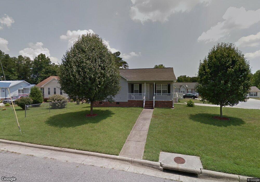
639 Paramount St High Point, NC 27260
Greater High Point NeighborhoodEstimated Value: $186,000 - $199,000
3
Beds
2
Baths
1,096
Sq Ft
$176/Sq Ft
Est. Value
About This Home
This home is located at 639 Paramount St, High Point, NC 27260 and is currently estimated at $192,528, approximately $175 per square foot. 639 Paramount St is a home located in Guilford County with nearby schools including Union Hill Elementary School, Jamestown Middle School, and Ragsdale High School.
Ownership History
Date
Name
Owned For
Owner Type
Purchase Details
Closed on
Oct 26, 2001
Sold by
Ingram Clinton M and Ingram Kimberly A
Bought by
Dow Melvin
Current Estimated Value
Home Financials for this Owner
Home Financials are based on the most recent Mortgage that was taken out on this home.
Original Mortgage
$86,193
Outstanding Balance
$34,011
Interest Rate
6.85%
Mortgage Type
FHA
Estimated Equity
$158,517
Create a Home Valuation Report for This Property
The Home Valuation Report is an in-depth analysis detailing your home's value as well as a comparison with similar homes in the area
Home Values in the Area
Average Home Value in this Area
Purchase History
| Date | Buyer | Sale Price | Title Company |
|---|---|---|---|
| Dow Melvin | $88,000 | -- |
Source: Public Records
Mortgage History
| Date | Status | Borrower | Loan Amount |
|---|---|---|---|
| Open | Dow Melvin | $86,193 |
Source: Public Records
Tax History Compared to Growth
Tax History
| Year | Tax Paid | Tax Assessment Tax Assessment Total Assessment is a certain percentage of the fair market value that is determined by local assessors to be the total taxable value of land and additions on the property. | Land | Improvement |
|---|---|---|---|---|
| 2025 | $1,611 | $116,900 | $22,000 | $94,900 |
| 2024 | $1,611 | $116,900 | $22,000 | $94,900 |
| 2023 | $1,611 | $116,900 | $22,000 | $94,900 |
| 2022 | $1,576 | $116,900 | $22,000 | $94,900 |
| 2021 | $1,119 | $81,200 | $11,000 | $70,200 |
| 2020 | $1,119 | $81,200 | $11,000 | $70,200 |
| 2019 | $1,119 | $81,200 | $0 | $0 |
| 2018 | $1,113 | $81,200 | $0 | $0 |
| 2017 | $1,113 | $81,200 | $0 | $0 |
| 2016 | $1,170 | $83,400 | $0 | $0 |
| 2015 | $1,176 | $83,400 | $0 | $0 |
| 2014 | $1,196 | $83,400 | $0 | $0 |
Source: Public Records
Map
Nearby Homes
- 928 Marlboro St
- 928 #R1 Marlboro St
- 930 Marlboro St
- 934 Marlboro St
- 3003 #REAR Oakcrest Ave
- 3304 Central Ave
- 901 Hickory Chapel Rd
- 632 Spring Garden Cir
- 627 Spring Garden Cir
- 709 Habersham Rd
- 404 Hickory Chapel Rd
- 2305 Delaware Place
- 1900-1922 Baker Rd
- 3110 Wayne Ave
- 737 Hendrix St
- 735 Hendrix St
- 723 Hendrix St
- 430 New St
- 2317 Purdy Ave
- 1605 Mossbrook Cir