Estimated Value: $211,000 - $303,000
3
Beds
1
Bath
1,120
Sq Ft
$221/Sq Ft
Est. Value
About This Home
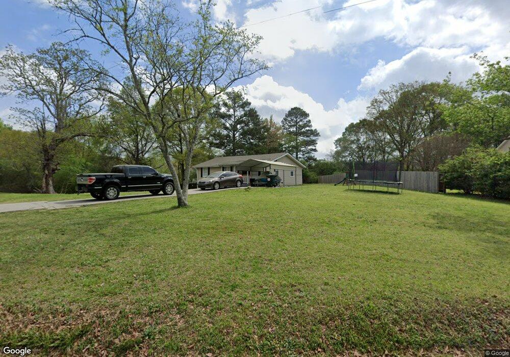
This home is located at 639 Poole Bridge Rd, Hiram, GA 30141 and is currently estimated at $247,893, approximately $221 per square foot. 639 Poole Bridge Rd is a home located in Paulding County with nearby schools including Bessie L. Baggett Elementary School, Irma C. Austin Middle School, and Hiram High School.
Ownership History
Date
Name
Owned For
Owner Type
Purchase Details
Closed on
Jan 31, 2022
Sold by
Reid Residential Properties Inc
Bought by
Hitt Charlotte
Current Estimated Value
Purchase Details
Closed on
May 7, 2001
Sold by
Reid Norman C
Bought by
Reid Residential Properties Inc
Home Financials for this Owner
Home Financials are based on the most recent Mortgage that was taken out on this home.
Original Mortgage
$56,700
Interest Rate
6.9%
Mortgage Type
New Conventional
Purchase Details
Closed on
Apr 18, 2001
Sold by
Reid Norman C
Bought by
Reid Residential Properties Inc
Home Financials for this Owner
Home Financials are based on the most recent Mortgage that was taken out on this home.
Original Mortgage
$56,700
Interest Rate
6.9%
Mortgage Type
New Conventional
Create a Home Valuation Report for This Property
The Home Valuation Report is an in-depth analysis detailing your home's value as well as a comparison with similar homes in the area
Home Values in the Area
Average Home Value in this Area
Purchase History
| Date | Buyer | Sale Price | Title Company |
|---|---|---|---|
| Hitt Charlotte | $33,500 | -- | |
| Reid Residential Properties Inc | -- | -- | |
| Reid Residential Properties Inc | -- | -- |
Source: Public Records
Mortgage History
| Date | Status | Borrower | Loan Amount |
|---|---|---|---|
| Previous Owner | Reid Residential Properties Inc | $56,700 | |
| Previous Owner | Reid Residential Properties Inc | $56,700 |
Source: Public Records
Tax History Compared to Growth
Tax History
| Year | Tax Paid | Tax Assessment Tax Assessment Total Assessment is a certain percentage of the fair market value that is determined by local assessors to be the total taxable value of land and additions on the property. | Land | Improvement |
|---|---|---|---|---|
| 2024 | $496 | $77,512 | $12,000 | $65,512 |
| 2023 | $523 | $68,948 | $12,000 | $56,948 |
| 2022 | $1,569 | $60,200 | $12,000 | $48,200 |
| 2021 | $1,526 | $52,512 | $8,000 | $44,512 |
| 2020 | $1,248 | $42,032 | $8,000 | $34,032 |
| 2019 | $1,178 | $39,112 | $8,000 | $31,112 |
| 2018 | $837 | $27,792 | $8,000 | $19,792 |
| 2017 | $811 | $26,556 | $8,000 | $18,556 |
| 2016 | $809 | $26,744 | $8,000 | $18,744 |
| 2015 | $741 | $24,092 | $8,000 | $16,092 |
| 2014 | $587 | $18,604 | $8,000 | $10,604 |
| 2013 | -- | $15,000 | $8,000 | $7,000 |
Source: Public Records
Map
Nearby Homes
- 625 Poole Bridge Rd
- 673 Poole Bridge Rd
- 123 Essex Ln
- 619 Poole Bridge Rd
- 133 Essex Ln
- 103 Essex Ln
- 14 Cross Pointe Dr Unit 1
- 211 Cross Pointe Way Unit 1
- 79 Essex Ln
- 201 Cross Pointe Way Unit 1
- 17 Cross Pointe Dr Unit 4
- 17 Cross Pointe Dr Unit 1
- 707 Poole Bridge Rd
- 59 Essex Ln
- 139 Essex Ln
- 221 Cross Pointe Way
- 0 Cross Pointe Dr Unit 4
- 557 Poole Bridge Rd
- 0 Essex Ln
- 33 Essex Ln