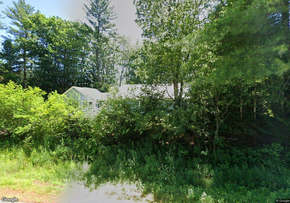
639 Route 202 Greene, ME 04236
Estimated Value: $272,552 - $340,000
4
Beds
1
Bath
1,560
Sq Ft
$196/Sq Ft
Est. Value
About This Home
This home is located at 639 Route 202, Greene, ME 04236 and is currently estimated at $305,388, approximately $195 per square foot. 639 Route 202 is a home located in Androscoggin County with nearby schools including Tripp Middle School and Leavitt Area High School.
Create a Home Valuation Report for This Property
The Home Valuation Report is an in-depth analysis detailing your home's value as well as a comparison with similar homes in the area
Home Values in the Area
Average Home Value in this Area
Tax History Compared to Growth
Tax History
| Year | Tax Paid | Tax Assessment Tax Assessment Total Assessment is a certain percentage of the fair market value that is determined by local assessors to be the total taxable value of land and additions on the property. | Land | Improvement |
|---|---|---|---|---|
| 2024 | $2,521 | $129,300 | $38,700 | $90,600 |
| 2023 | $2,521 | $129,300 | $38,700 | $90,600 |
| 2022 | $2,302 | $129,300 | $38,700 | $90,600 |
| 2021 | $2,211 | $129,300 | $38,700 | $90,600 |
| 2020 | $2,211 | $129,300 | $38,700 | $90,600 |
| 2019 | $2,095 | $129,300 | $38,700 | $90,600 |
| 2018 | $2,035 | $129,300 | $38,700 | $90,600 |
| 2017 | $1,994 | $129,300 | $38,700 | $90,600 |
| 2016 | $1,880 | $129,300 | $38,700 | $90,600 |
| 2015 | $1,844 | $129,300 | $38,700 | $90,600 |
| 2014 | $1,748 | $129,300 | $38,700 | $90,600 |
| 2013 | $1,720 | $129,300 | $38,700 | $90,600 |
Source: Public Records
Map
Nearby Homes
- 67 Island View Dr
- 721 U S Highway 202
- 951 U S Highway 202
- 701A U S Highway 202
- 0 Sedgley Rd
- 25 Jennifer Ave
- 0 College Rd
- Lot# A College Rd
- 253 Bull Run Rd
- 548 Allen Pond Rd
- 66 S South Hatch Hill Rd
- Lot 1 N North River Rd
- Lot 29 N Grey Rd
- LOT 5 N River Rd
- 26 Island View Dr
- Lot 3 N North River Rd
- 44 Country View Dr
- 1639 Main St
- 1648 Main St
- 49 U S 202