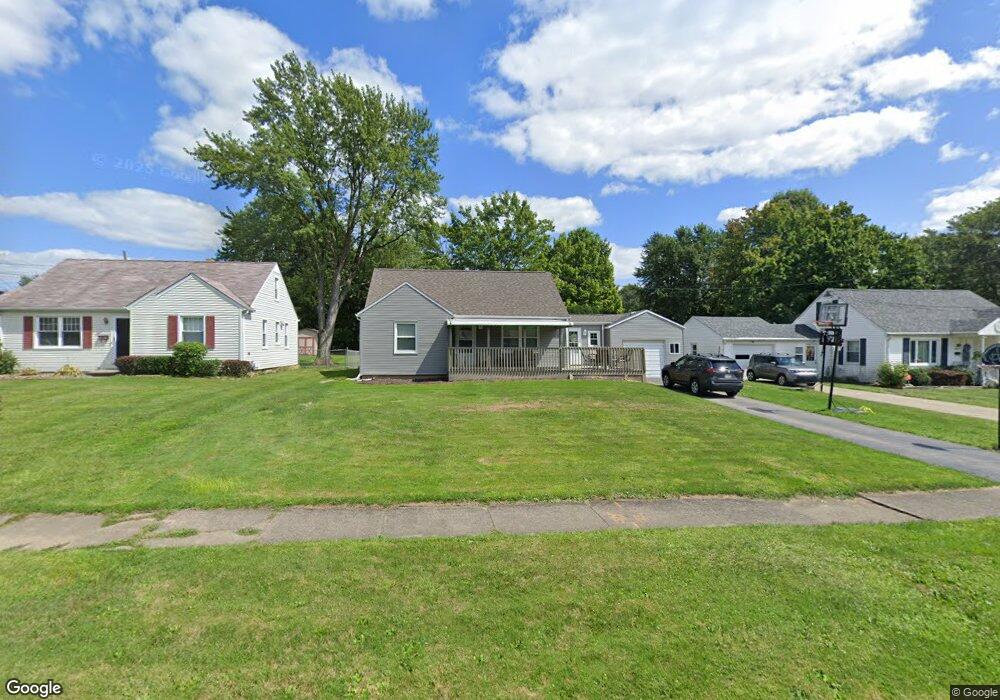
639 S 4th St Sharpsville, PA 16150
Estimated Value: $74,768 - $184,000
2
Beds
1
Bath
--
Sq Ft
0.28
Acres
About This Home
This home is located at 639 S 4th St, Sharpsville, PA 16150 and is currently estimated at $151,942. 639 S 4th St is a home located in Mercer County with nearby schools including Sharpsville Area Elementary School, Sharpsville Area Middle School, and Sharpsville Area Senior High School.
Ownership History
Date
Name
Owned For
Owner Type
Purchase Details
Closed on
Aug 26, 2011
Sold by
Sember Joseph
Bought by
Wygant Michelle M
Current Estimated Value
Home Financials for this Owner
Home Financials are based on the most recent Mortgage that was taken out on this home.
Original Mortgage
$68,126
Outstanding Balance
$47,228
Interest Rate
4.52%
Mortgage Type
FHA
Estimated Equity
$104,714
Create a Home Valuation Report for This Property
The Home Valuation Report is an in-depth analysis detailing your home's value as well as a comparison with similar homes in the area
Home Values in the Area
Average Home Value in this Area
Purchase History
| Date | Buyer | Sale Price | Title Company |
|---|---|---|---|
| Wygant Michelle M | $69,900 | None Available |
Source: Public Records
Mortgage History
| Date | Status | Borrower | Loan Amount |
|---|---|---|---|
| Open | Wygant Michelle M | $68,126 |
Source: Public Records
Tax History Compared to Growth
Tax History
| Year | Tax Paid | Tax Assessment Tax Assessment Total Assessment is a certain percentage of the fair market value that is determined by local assessors to be the total taxable value of land and additions on the property. | Land | Improvement |
|---|---|---|---|---|
| 2025 | $2,476 | $18,100 | $2,100 | $16,000 |
| 2024 | $2,476 | $18,100 | $2,100 | $16,000 |
| 2023 | $2,413 | $18,100 | $2,100 | $16,000 |
| 2022 | $2,368 | $18,100 | $2,100 | $16,000 |
| 2021 | $2,368 | $18,100 | $2,100 | $16,000 |
| 2020 | $2,341 | $18,100 | $2,100 | $16,000 |
| 2019 | $2,043 | $16,050 | $2,100 | $13,950 |
| 2018 | $1,975 | $16,050 | $2,100 | $13,950 |
| 2017 | $1,983 | $16,050 | $2,100 | $13,950 |
| 2016 | -- | $16,050 | $2,100 | $13,950 |
| 2015 | -- | $16,050 | $2,100 | $13,950 |
| 2014 | -- | $16,050 | $2,100 | $13,950 |
Source: Public Records
Map
Nearby Homes
- 400 Hazen Rd
- 570 S 7th St
- 585 S 8th St
- 498 S 7th St
- 890 Woodland Rd
- 550 S Mercer Ave
- 393 S 7th St
- 1263 Monticello Ave
- 535 Oak St
- 331 S 9th St
- 1370 Coronado Dr
- 1445 Winterberry Ct Unit 2B
- 433 W Ridge Ave
- 50 Davis Dr
- 109 W Ridge Ave
- 2109 Woodbine Dr
- 225 S 12th St
- 1700 Forker Blvd
- 1506 Skyline Dr
- 934 W Ridge Ave