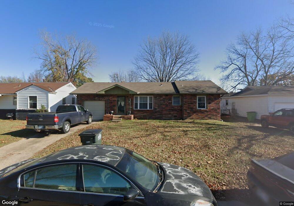
639 S Cedar St Bristow, OK 74010
Estimated Value: $123,230 - $153,000
3
Beds
3
Baths
1,342
Sq Ft
$104/Sq Ft
Est. Value
About This Home
This home is located at 639 S Cedar St, Bristow, OK 74010 and is currently estimated at $139,808, approximately $104 per square foot. 639 S Cedar St is a home located in Creek County with nearby schools including Edison Elementary School, Collins Elementary School, and Bristow Middle School.
Ownership History
Date
Name
Owned For
Owner Type
Purchase Details
Closed on
May 24, 2006
Sold by
Rowe James G and Rowe Norma J
Bought by
Knox Geoff
Current Estimated Value
Home Financials for this Owner
Home Financials are based on the most recent Mortgage that was taken out on this home.
Original Mortgage
$72,856
Outstanding Balance
$42,436
Interest Rate
6.5%
Mortgage Type
FHA
Estimated Equity
$97,372
Purchase Details
Closed on
Apr 22, 2005
Sold by
Springs Barbara L and Springs Charles E
Bought by
Rowe James G and Rowe Norma J
Home Financials for this Owner
Home Financials are based on the most recent Mortgage that was taken out on this home.
Original Mortgage
$66,950
Interest Rate
5.89%
Mortgage Type
New Conventional
Create a Home Valuation Report for This Property
The Home Valuation Report is an in-depth analysis detailing your home's value as well as a comparison with similar homes in the area
Home Values in the Area
Average Home Value in this Area
Purchase History
| Date | Buyer | Sale Price | Title Company |
|---|---|---|---|
| Knox Geoff | $74,000 | None Available | |
| Rowe James G | $65,000 | None Available |
Source: Public Records
Mortgage History
| Date | Status | Borrower | Loan Amount |
|---|---|---|---|
| Open | Knox Geoff | $72,856 | |
| Previous Owner | Rowe James G | $66,950 |
Source: Public Records
Tax History Compared to Growth
Tax History
| Year | Tax Paid | Tax Assessment Tax Assessment Total Assessment is a certain percentage of the fair market value that is determined by local assessors to be the total taxable value of land and additions on the property. | Land | Improvement |
|---|---|---|---|---|
| 2024 | $776 | $7,889 | $1,500 | $6,389 |
| 2023 | $776 | $7,514 | $1,500 | $6,014 |
| 2022 | $684 | $7,156 | $1,500 | $5,656 |
| 2021 | $1,059 | $11,029 | $1,500 | $9,529 |
| 2020 | $973 | $10,504 | $1,500 | $9,004 |
| 2019 | $934 | $10,004 | $1,500 | $8,504 |
| 2018 | $913 | $9,528 | $1,500 | $8,028 |
| 2017 | $916 | $9,528 | $1,500 | $8,028 |
| 2016 | $886 | $9,093 | $1,398 | $7,695 |
| 2015 | -- | $8,660 | $1,297 | $7,363 |
| 2014 | -- | $8,247 | $1,200 | $7,047 |
Source: Public Records
Map
Nearby Homes
- 611 S Cedar St
- 904 S Hickory St
- 20 Bluebell St
- 18 Bluebell St
- 24 Bluebell St
- 16 Bluebell St
- 22 Bluebell St
- 326 E Cloud St
- 320 E Cloud St
- 720 S Chestnut St
- 609 E Tejon Ave
- 308 E Cloud St
- 610 E 4th Ave
- 1421 S Cedar St
- 810 S Walnut
- 114 E Jackson Ave
- 34335 W Highway 16
- 619 E 6th Ave
- 1602 S Hickory St
- 202 S Walnut St