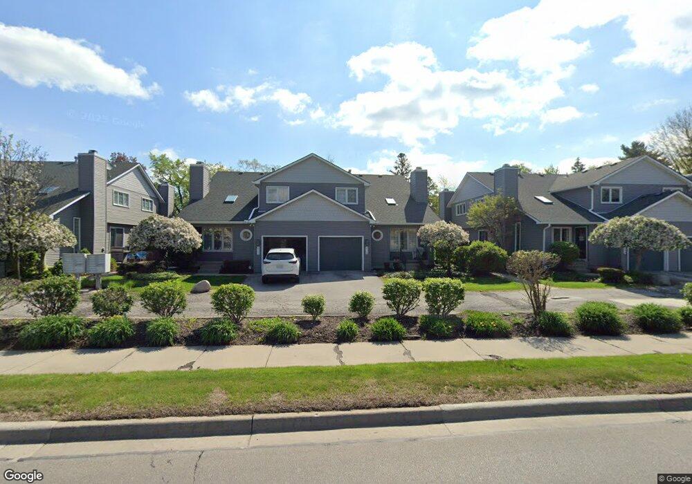
639 S Crooks Rd Unit 6-BldgB Clawson, MI 48017
Estimated Value: $171,000 - $236,000
1
Bed
2
Baths
1,186
Sq Ft
$179/Sq Ft
Est. Value
About This Home
This home is located at 639 S Crooks Rd Unit 6-BldgB, Clawson, MI 48017 and is currently estimated at $211,998, approximately $178 per square foot. 639 S Crooks Rd Unit 6-BldgB is a home located in Oakland County with nearby schools including Clawson High School and Japhet School.
Ownership History
Date
Name
Owned For
Owner Type
Purchase Details
Closed on
Jul 31, 2020
Sold by
Fox William
Bought by
Fox Lynn M
Current Estimated Value
Purchase Details
Closed on
Oct 26, 2018
Sold by
Tschirhart Kathleen and Brownson Elleen
Bought by
Fox William
Purchase Details
Closed on
May 8, 2007
Sold by
Kowalski David Matthew and Kowalski David M
Bought by
Indymac Bank Fsb
Purchase Details
Closed on
Apr 10, 1995
Sold by
Potestio Roseanne A
Bought by
Kowalski David M
Home Financials for this Owner
Home Financials are based on the most recent Mortgage that was taken out on this home.
Original Mortgage
$86,550
Interest Rate
8.55%
Mortgage Type
FHA
Create a Home Valuation Report for This Property
The Home Valuation Report is an in-depth analysis detailing your home's value as well as a comparison with similar homes in the area
Home Values in the Area
Average Home Value in this Area
Purchase History
| Date | Buyer | Sale Price | Title Company |
|---|---|---|---|
| Fox Lynn M | $120,000 | None Available | |
| Fox William | $148,000 | Embassy Title Agency Inc | |
| Indymac Bank Fsb | $131,003 | None Available | |
| Kowalski David M | $89,000 | -- |
Source: Public Records
Mortgage History
| Date | Status | Borrower | Loan Amount |
|---|---|---|---|
| Previous Owner | Kowalski David M | $86,550 |
Source: Public Records
Tax History Compared to Growth
Tax History
| Year | Tax Paid | Tax Assessment Tax Assessment Total Assessment is a certain percentage of the fair market value that is determined by local assessors to be the total taxable value of land and additions on the property. | Land | Improvement |
|---|---|---|---|---|
| 2024 | $3,329 | $103,970 | $0 | $0 |
| 2023 | $3,192 | $86,620 | $0 | $0 |
| 2022 | $3,217 | $81,810 | $0 | $0 |
| 2021 | $3,152 | $73,350 | $0 | $0 |
| 2020 | $3,053 | $70,410 | $0 | $0 |
| 2019 | $3,155 | $62,440 | $0 | $0 |
| 2018 | $2,014 | $60,410 | $0 | $0 |
| 2017 | $2,002 | $60,030 | $0 | $0 |
| 2016 | $2,011 | $59,440 | $0 | $0 |
| 2015 | -- | $55,810 | $0 | $0 |
| 2014 | -- | $46,430 | $0 | $0 |
| 2011 | -- | $42,780 | $0 | $0 |
Source: Public Records
Map
Nearby Homes
- 4227 Crooks Rd
- 406 S Webik Ave
- 1502 Normandy Rd Unit 113
- 4422 Rosewold Ave
- 4101 Devon Rd
- 4102 Woodland Ave
- 140 S Manitou Ave
- 3927 Woodland Ave
- 4921 Crooks Rd Unit M-10
- 4909 Crooks Rd Unit C7
- 4909 Crooks Rd Unit E8
- 4909 Crooks Rd Unit 4
- 4921 N Crooks Rd Unit N-10
- 3601 Durham Rd
- 3526 Durham Rd
- 3532 Woodland Ave
- 2356 W 14 Mile Rd Unit 1
- 2500 Normandy Rd Unit 46
- 2500 Normandy Rd Unit 29
- 4109 Benjamin Ave Unit 2
- 545 S Crooks Rd
- 547 S Crooks Rd
- 635 S Crooks Rd
- 637 S Crooks Rd Unit 7
- 639 S Crooks Rd Unit 6
- 549 S Crooks Rd Unit E19
- 551 S Crooks Rd
- 603 S Crooks Rd
- 607 S Crooks Rd
- 609 S Crooks Rd Unit 14
- 605 S Crooks Rd
- 617 S Crooks Rd
- 621 S Crooks Rd
- 623 S Crooks Rd
- 619 S Crooks Rd
- 637 S Crooks Rd Unit B7
- 639 S Crooks Rd Unit B6
- 645 S Crooks Rd Unit A4
- 649 S Crooks Rd
- 651 S Crooks Rd