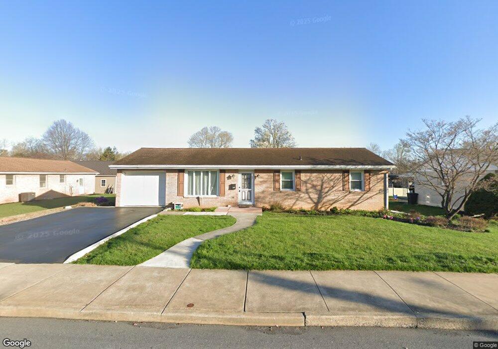
639 S State St Ephrata, PA 17522
Estimated Value: $308,000 - $329,000
3
Beds
1
Bath
1,008
Sq Ft
$316/Sq Ft
Est. Value
About This Home
This home is located at 639 S State St, Ephrata, PA 17522 and is currently estimated at $318,852, approximately $316 per square foot. 639 S State St is a home located in Lancaster County with nearby schools including Fulton El School, Ephrata Intermediate School, and Ephrata Senior High School.
Ownership History
Date
Name
Owned For
Owner Type
Purchase Details
Closed on
Oct 11, 2024
Sold by
Croft Melissa J
Bought by
Martinez Raulin and Santos Miguel A
Current Estimated Value
Home Financials for this Owner
Home Financials are based on the most recent Mortgage that was taken out on this home.
Original Mortgage
$294,500
Outstanding Balance
$291,404
Interest Rate
6.35%
Mortgage Type
New Conventional
Estimated Equity
$27,448
Purchase Details
Closed on
May 13, 2022
Sold by
Erb Jr Edwin G
Bought by
Croft Richard E and Croft Melissa J
Home Financials for this Owner
Home Financials are based on the most recent Mortgage that was taken out on this home.
Original Mortgage
$176,000
Interest Rate
5.3%
Mortgage Type
New Conventional
Create a Home Valuation Report for This Property
The Home Valuation Report is an in-depth analysis detailing your home's value as well as a comparison with similar homes in the area
Home Values in the Area
Average Home Value in this Area
Purchase History
| Date | Buyer | Sale Price | Title Company |
|---|---|---|---|
| Martinez Raulin | $310,000 | Homesale Settlement Services | |
| Croft Richard E | $220,000 | None Listed On Document |
Source: Public Records
Mortgage History
| Date | Status | Borrower | Loan Amount |
|---|---|---|---|
| Open | Martinez Raulin | $294,500 | |
| Previous Owner | Croft Richard E | $176,000 |
Source: Public Records
Tax History Compared to Growth
Tax History
| Year | Tax Paid | Tax Assessment Tax Assessment Total Assessment is a certain percentage of the fair market value that is determined by local assessors to be the total taxable value of land and additions on the property. | Land | Improvement |
|---|---|---|---|---|
| 2025 | $3,576 | $149,100 | $44,700 | $104,400 |
| 2024 | $3,576 | $149,100 | $44,700 | $104,400 |
| 2023 | $3,488 | $149,100 | $44,700 | $104,400 |
| 2022 | $3,339 | $149,100 | $44,700 | $104,400 |
| 2021 | $3,269 | $149,100 | $44,700 | $104,400 |
| 2020 | $3,269 | $149,100 | $44,700 | $104,400 |
| 2019 | $3,224 | $149,100 | $44,700 | $104,400 |
| 2018 | $2,400 | $149,100 | $44,700 | $104,400 |
| 2017 | $3,157 | $119,300 | $30,500 | $88,800 |
| 2016 | $3,132 | $119,300 | $30,500 | $88,800 |
| 2015 | $693 | $119,300 | $30,500 | $88,800 |
| 2014 | $2,211 | $119,300 | $30,500 | $88,800 |
Source: Public Records
Map
Nearby Homes
- 112 Sycamore Rd
- 259 Heatherwood Dr
- 708 Primrose Ln
- 215 Mason Dr
- 11 E Sunset Ave
- 144 Niss Ave
- 992 Hammon Ave
- 1059 Henn Ave
- 1127 S State St
- 35 Hilldale Dr
- 00 Wyndale Dr
- 146 Gregg Cir
- 124 Washington Ave
- 538 E Main St
- 308 Washington Ave
- 244 Miller Rd
- 323 Lincoln Ave
- 335 Lincoln Ave
- 331 Spring Garden St
- 1212 W Main St