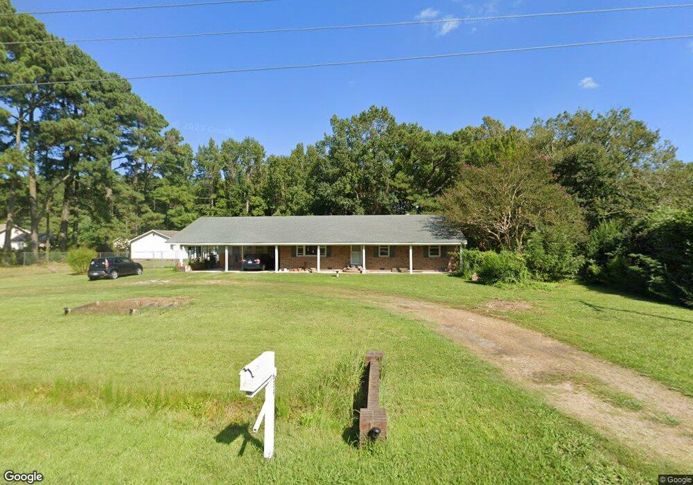
639 Shawboro Rd Shawboro, NC 27973
Estimated Value: $332,787 - $448,000
3
Beds
2
Baths
1,662
Sq Ft
$225/Sq Ft
Est. Value
About This Home
This home is located at 639 Shawboro Rd, Shawboro, NC 27973 and is currently estimated at $374,197, approximately $225 per square foot. 639 Shawboro Rd is a home located in Currituck County with nearby schools including Shawboro Elementary School, Moyock Middle School, and Currituck County High School.
Ownership History
Date
Name
Owned For
Owner Type
Purchase Details
Closed on
Jun 30, 2022
Sold by
Davis Iii Andrew G
Bought by
Davis Terris C
Current Estimated Value
Purchase Details
Closed on
Sep 14, 2011
Sold by
Secretary Of Housing & Urban Development
Bought by
Davis Terri C and Davis Andrew G
Home Financials for this Owner
Home Financials are based on the most recent Mortgage that was taken out on this home.
Original Mortgage
$130,200
Interest Rate
4.4%
Mortgage Type
New Conventional
Purchase Details
Closed on
Mar 7, 2011
Sold by
Citimortgage Inc
Bought by
Secretary Of Housing & Urban Development
Purchase Details
Closed on
Feb 14, 2011
Sold by
Harvey Gary A and Harvey Rita
Bought by
Citimortgage Inc
Create a Home Valuation Report for This Property
The Home Valuation Report is an in-depth analysis detailing your home's value as well as a comparison with similar homes in the area
Home Values in the Area
Average Home Value in this Area
Purchase History
| Date | Buyer | Sale Price | Title Company |
|---|---|---|---|
| Davis Terris C | -- | Timothy P Koller Esq Attorney | |
| Davis Terri C | -- | None Available | |
| Secretary Of Housing & Urban Development | -- | None Available | |
| Citimortgage Inc | $190,781 | None Available |
Source: Public Records
Mortgage History
| Date | Status | Borrower | Loan Amount |
|---|---|---|---|
| Previous Owner | Davis Terri C | $130,200 |
Source: Public Records
Tax History Compared to Growth
Tax History
| Year | Tax Paid | Tax Assessment Tax Assessment Total Assessment is a certain percentage of the fair market value that is determined by local assessors to be the total taxable value of land and additions on the property. | Land | Improvement |
|---|---|---|---|---|
| 2024 | $1,661 | $225,100 | $66,900 | $158,200 |
| 2023 | $1,652 | $225,100 | $66,900 | $158,200 |
| 2022 | $1,274 | $225,100 | $66,900 | $158,200 |
| 2021 | $1,266 | $194,100 | $56,000 | $138,100 |
| 2020 | $1,082 | $194,100 | $56,000 | $138,100 |
| 2019 | $1,082 | $194,100 | $56,000 | $138,100 |
| 2018 | $1,082 | $194,100 | $56,000 | $138,100 |
| 2017 | $1,046 | $194,100 | $56,000 | $138,100 |
| 2016 | $1,046 | $194,100 | $56,000 | $138,100 |
| 2015 | $1,046 | $194,100 | $56,000 | $138,100 |
Source: Public Records
Map
Nearby Homes
- 819 Shawboro Rd
- #7 E Ridge Rd
- 500 E Ridge Rd
- 0000 Snowden
- 110 Sligo Way
- 8 E Ridge Rd
- 438 N Indiantown Rd
- 2286 Caratoke Hwy
- 1861 Caratoke Hwy
- 0 Shortcut Rd
- 0 Poyners Rd Unit 100508289
- 498 Poyners Rd
- 50+AC Poyners Rd
- TBD Poyners Rd
- 329 Poyners Rd
- 101 Bailey Farm Rd
- MM Dr
- MM Yadkin (Warwick Il) Dr
- MM Yadkin (Dawson) Dr
- 219 Ambrose Ln
- 645 Shawboro Rd
- 635 Shawboro Rd
- 632 Shawboro Rd
- 642 Shawboro Rd
- 648 Shawboro Rd
- 426 Shawboro Rd
- 622 Shawboro Rd
- 0 Shawboro Rrd
- 656 Shawboro Rd
- 659 Shawboro Rd
- 614 Shawboro Rd
- 615 Shawboro Rd
- 665 Shawboro Rd
- 664 Shawboro Rd
- 671 Shawboro Rd
- 001 Shawboro Rd
- 608 Shawboro Rd
- 116 Maple Knoll Rd
- 600 Shawboro Rd
- 590 Shawboro Rd