639 Shiloh Rd Jenkinsburg, GA 30234
Estimated Value: $401,000 - $415,000
--
Bed
4
Baths
2,473
Sq Ft
$165/Sq Ft
Est. Value
About This Home
This home is located at 639 Shiloh Rd, Jenkinsburg, GA 30234 and is currently estimated at $407,569, approximately $164 per square foot. 639 Shiloh Rd is a home located in Butts County with nearby schools including Jackson High School.
Ownership History
Date
Name
Owned For
Owner Type
Purchase Details
Closed on
Jun 2, 2005
Sold by
Martin Lanae W
Bought by
Martin Charles D and Martin Lanae W
Current Estimated Value
Create a Home Valuation Report for This Property
The Home Valuation Report is an in-depth analysis detailing your home's value as well as a comparison with similar homes in the area
Home Values in the Area
Average Home Value in this Area
Purchase History
| Date | Buyer | Sale Price | Title Company |
|---|---|---|---|
| Martin Charles D | -- | -- |
Source: Public Records
Tax History Compared to Growth
Tax History
| Year | Tax Paid | Tax Assessment Tax Assessment Total Assessment is a certain percentage of the fair market value that is determined by local assessors to be the total taxable value of land and additions on the property. | Land | Improvement |
|---|---|---|---|---|
| 2024 | $4,088 | $173,656 | $4,840 | $168,816 |
| 2023 | $4,191 | $163,194 | $4,840 | $158,354 |
| 2022 | $3,758 | $138,492 | $4,840 | $133,652 |
| 2021 | $3,576 | $123,102 | $4,840 | $118,262 |
| 2020 | $3,171 | $105,116 | $4,840 | $100,276 |
| 2019 | $2,767 | $94,873 | $4,840 | $90,033 |
| 2018 | $2,592 | $85,166 | $4,840 | $80,326 |
| 2017 | $2,667 | $86,098 | $4,840 | $81,258 |
| 2016 | $2,191 | $68,956 | $4,840 | $64,116 |
| 2015 | $2,151 | $68,956 | $4,840 | $64,116 |
| 2014 | $2,268 | $64,732 | $4,840 | $59,892 |
Source: Public Records
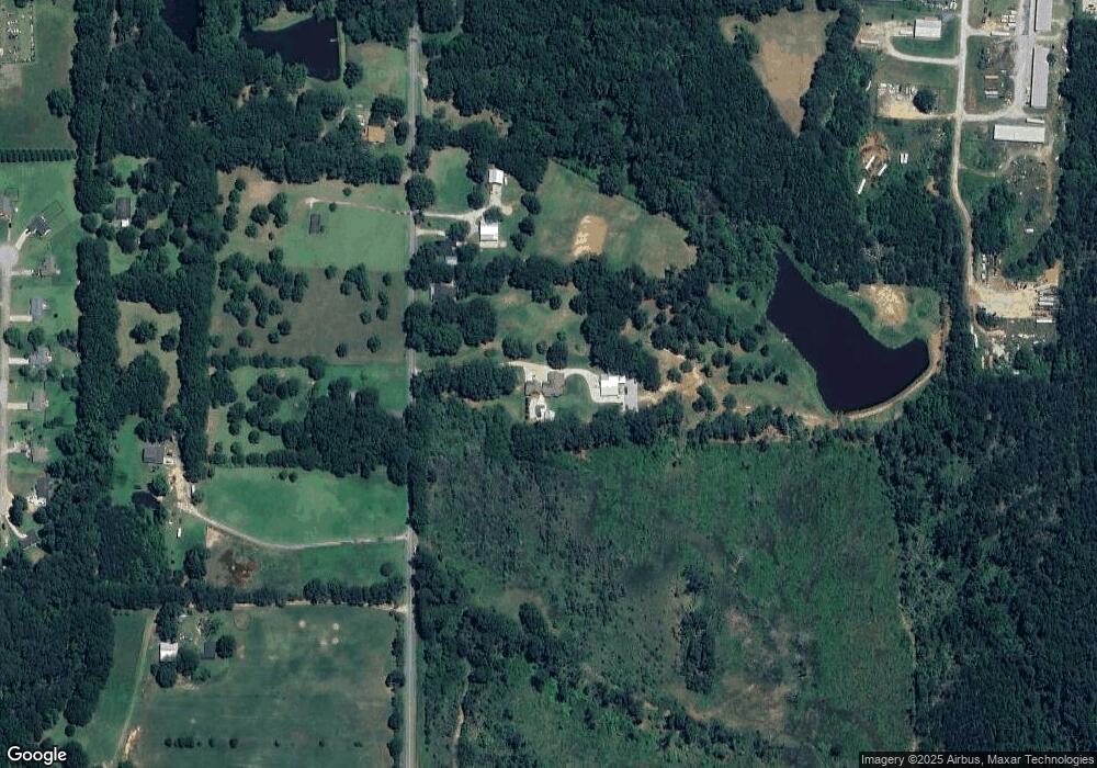
Map
Nearby Homes
- 0 No Address Unit 10554646
- 0 Maple Valley Dr Unit 10554645
- 0 N Highway 42 Unit BUNCH ROAD 10507866
- 106 Maple Valley Dr
- 673 England Chapel Rd
- 442 Shiloh Rd
- 391 Walter Moore Rd
- 0 Old Thaxton Rd Unit 10498892
- 0 Georgia 42
- 304 Patrick Cir
- 0 County Line Rd Unit 10539097
- 159 County Line Rd
- 215 Bonnies Way
- 191 Bonnies Way
- 314 Patrick Cir
- 1873 Georgia 42
- 109 William Ct
- 332 England Chapel Rd
- 35 Oak Rd
- 25 Oak Rd
- 651 Shiloh Rd
- O Shiloh Rd
- 659 Shiloh Rd
- 636 Shiloh Rd
- 675 Shiloh Rd
- 658 Shiloh Rd
- 0 Kimbrough Rd Unit 7361930
- 0 Kimbrough Rd
- 664 Shiloh Rd
- 599 Shiloh Rd
- 681 Shiloh Rd
- 591 Shiloh Rd
- 591 Shiloh Rd Unit B
- 591 Shiloh Rd
- 2141 Highway 42 N
- 2141 Highway 42 N
- 687 Shiloh Rd
- 0 No Address Unit 10432581
- 0 No Address Unit 10280461
- 684 Shiloh Rd