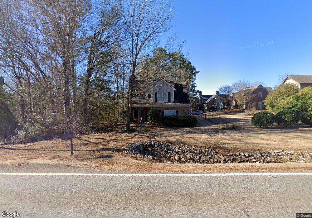
639 Timothy Rd Athens, GA 30606
Tanglewood NeighborhoodEstimated Value: $409,567 - $493,000
4
Beds
3
Baths
2,352
Sq Ft
$190/Sq Ft
Est. Value
About This Home
This home is located at 639 Timothy Rd, Athens, GA 30606 and is currently estimated at $447,392, approximately $190 per square foot. 639 Timothy Rd is a home located in Clarke County with nearby schools including Timothy Elementary School, Clarke Middle School, and Clarke Central High School.
Ownership History
Date
Name
Owned For
Owner Type
Purchase Details
Closed on
Dec 18, 2007
Sold by
Not Provided
Bought by
Wilburn Laurie A
Current Estimated Value
Purchase Details
Closed on
Sep 22, 2006
Sold by
Not Provided
Bought by
Wilburn Laurie A
Create a Home Valuation Report for This Property
The Home Valuation Report is an in-depth analysis detailing your home's value as well as a comparison with similar homes in the area
Home Values in the Area
Average Home Value in this Area
Purchase History
| Date | Buyer | Sale Price | Title Company |
|---|---|---|---|
| Wilburn Laurie A | $229,900 | -- | |
| Wilburn Laurie A | $55,000 | -- |
Source: Public Records
Tax History Compared to Growth
Tax History
| Year | Tax Paid | Tax Assessment Tax Assessment Total Assessment is a certain percentage of the fair market value that is determined by local assessors to be the total taxable value of land and additions on the property. | Land | Improvement |
|---|---|---|---|---|
| 2025 | $4,679 | $169,114 | $14,000 | $155,114 |
| 2024 | $4,679 | $162,753 | $14,000 | $148,753 |
| 2023 | $4,587 | $157,128 | $14,000 | $143,128 |
| 2022 | $3,328 | $114,320 | $14,000 | $100,320 |
| 2021 | $2,943 | $97,318 | $14,000 | $83,318 |
| 2020 | $2,760 | $91,886 | $14,000 | $77,886 |
| 2019 | $2,675 | $88,789 | $14,000 | $74,789 |
| 2018 | $2,824 | $93,194 | $12,000 | $81,194 |
| 2017 | $2,677 | $88,838 | $12,000 | $76,838 |
| 2016 | $2,365 | $79,661 | $12,000 | $67,661 |
| 2015 | $2,313 | $78,002 | $12,000 | $66,002 |
| 2014 | $2,049 | $70,155 | $12,000 | $58,155 |
Source: Public Records
Map
Nearby Homes
- 647 Timothy Rd
- 201 Township Ln
- 205 Township Ln Unit G15
- 205 Township Ln
- 120 Manorhaven Ct
- 209 Township Ln
- 213 Township Ln
- 105 Manorhaven Ct
- 651 Timothy Rd
- 245 Heritage Stroll
- 620 Timothy Rd
- 255 Heritage Stroll
- 217 Township Ln
- 655 Timothy Rd
- 221 Township Ln
- 650 Timothy Rd
- 212 Township Ln
- 125 Manorhaven Ct
- 610 Timothy Rd
- 610 Timothy Rd