Estimated Value: $284,000 - $321,000
3
Beds
3
Baths
1,216
Sq Ft
$247/Sq Ft
Est. Value
About This Home
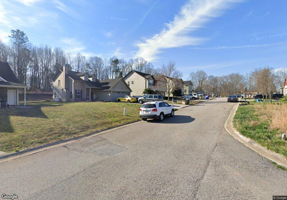
This home is located at 639 Trojan Ln, Alto, GA 30510 and is currently estimated at $300,375, approximately $247 per square foot. 639 Trojan Ln is a home located in Habersham County with nearby schools including Level Grove Elementary School, South Habersham Middle School, and Habersham Success Academy.
Ownership History
Date
Name
Owned For
Owner Type
Purchase Details
Closed on
Dec 3, 2014
Sold by
Horne Donald
Bought by
Mcconnell Jackie
Current Estimated Value
Home Financials for this Owner
Home Financials are based on the most recent Mortgage that was taken out on this home.
Original Mortgage
$104,000
Outstanding Balance
$78,728
Interest Rate
4.09%
Mortgage Type
New Conventional
Estimated Equity
$221,647
Purchase Details
Closed on
May 1, 2008
Sold by
Not Provided
Bought by
Horne Donald and Horne Bonnie
Home Financials for this Owner
Home Financials are based on the most recent Mortgage that was taken out on this home.
Original Mortgage
$27,409
Interest Rate
6%
Mortgage Type
New Conventional
Purchase Details
Closed on
Mar 1, 2007
Sold by
Not Provided
Bought by
Horne Donald and Horne Bonnie
Home Financials for this Owner
Home Financials are based on the most recent Mortgage that was taken out on this home.
Original Mortgage
$136,000
Interest Rate
6.3%
Mortgage Type
New Conventional
Create a Home Valuation Report for This Property
The Home Valuation Report is an in-depth analysis detailing your home's value as well as a comparison with similar homes in the area
Home Values in the Area
Average Home Value in this Area
Purchase History
| Date | Buyer | Sale Price | Title Company |
|---|---|---|---|
| Mcconnell Jackie | $130,000 | -- | |
| Horne Donald | $143,600 | -- | |
| Horne Donald | $30,500 | -- |
Source: Public Records
Mortgage History
| Date | Status | Borrower | Loan Amount |
|---|---|---|---|
| Open | Mcconnell Jackie | $104,000 | |
| Previous Owner | Horne Donald | $27,409 | |
| Previous Owner | Horne Donald | $136,000 |
Source: Public Records
Tax History Compared to Growth
Tax History
| Year | Tax Paid | Tax Assessment Tax Assessment Total Assessment is a certain percentage of the fair market value that is determined by local assessors to be the total taxable value of land and additions on the property. | Land | Improvement |
|---|---|---|---|---|
| 2025 | $1,736 | $121,563 | $12,000 | $109,563 |
| 2024 | -- | $95,652 | $12,000 | $83,652 |
| 2023 | $1,466 | $96,636 | $12,000 | $84,636 |
| 2022 | $1,827 | $84,452 | $12,000 | $72,452 |
| 2021 | $1,724 | $76,576 | $12,000 | $64,576 |
| 2020 | $1,654 | $67,384 | $12,000 | $55,384 |
| 2019 | $1,814 | $67,384 | $12,000 | $55,384 |
| 2018 | $1,712 | $64,084 | $8,700 | $55,384 |
| 2017 | $1,476 | $54,952 | $4,800 | $50,152 |
| 2016 | $1,412 | $135,380 | $4,000 | $50,152 |
| 2015 | $1,340 | $135,380 | $4,000 | $50,152 |
| 2014 | $1,197 | $118,950 | $4,000 | $43,580 |
| 2013 | -- | $47,580 | $4,000 | $43,580 |
Source: Public Records
Map
Nearby Homes
- 324 Highland Pointe Dr
- 752 Dawn Place
- 3568 State Route 365
- 738 Wilbanks Rd
- 0 State Route 365 Unit 10496178
- 0 State Route 365 Unit 10496183
- 179 Sunset Oaks Dr
- 190 Sunset Oaks Dr
- 0 Hubert Harris
- 1246 Duncan Bridge Rd
- 429 Hubert Harris Rd
- 1307 Creasy Patch Rd
- 2000 Alto Mud Creek Rd
- 135 Oak Terrace Dr
- 117 Oak Terrace Dr
- 255 Laurel Place Dr
- 130 E Railroad Ave
- 933 Alto Mud Creek Rd
- 240 Woodmont Dr
- 450 Beachwood Dr
- 639 Trojan Ln Unit 87
- 645 Trojan Ln
- 633 Trojan Ln
- 651 Trojan Ln Unit 85
- 651 Trojan Ln
- 627 Trojan Ln
- 0 Trojan Ln Unit 8984842
- 0 Trojan Ln Unit 9030292
- 79 Trojan Ln Unit 79
- 0 Trojan Ln Unit 83 8877518
- 0 Trojan Ln Unit 6795618
- 0 Trojan Ln Unit 7074216
- 0 Trojan Ln Unit 8230838
- 0 Trojan Ln Unit 83 8531568
- 0 Trojan Ln
- 640 Trojan Ln Unit 77
- 640 Trojan Ln
- 644 Trojan Ln
- 621 Trojan Ln
- 621 Trojan Ln Unit 90