6390 W Chadwick Rd Dewitt, MI 48820
Estimated Value: $310,989 - $377,000
3
Beds
2
Baths
3,200
Sq Ft
$105/Sq Ft
Est. Value
About This Home
This home is located at 6390 W Chadwick Rd, Dewitt, MI 48820 and is currently estimated at $336,247, approximately $105 per square foot. 6390 W Chadwick Rd is a home located in Clinton County with nearby schools including St. Johns High School.
Ownership History
Date
Name
Owned For
Owner Type
Purchase Details
Closed on
May 25, 2012
Sold by
Brown Michael R
Bought by
Brown Michael R and Brown Erika
Current Estimated Value
Home Financials for this Owner
Home Financials are based on the most recent Mortgage that was taken out on this home.
Original Mortgage
$103,150
Outstanding Balance
$71,534
Interest Rate
3.92%
Mortgage Type
New Conventional
Estimated Equity
$264,713
Purchase Details
Closed on
Aug 23, 2007
Sold by
Pontius Vicki L
Bought by
Novastar Mortgage Inc
Purchase Details
Closed on
Oct 4, 2006
Sold by
Pontius Vicki L
Bought by
Straus William J and Straus Cynthia G
Purchase Details
Closed on
Aug 10, 2006
Sold by
Pontius Vicki L
Bought by
Pontius Vicki L
Create a Home Valuation Report for This Property
The Home Valuation Report is an in-depth analysis detailing your home's value as well as a comparison with similar homes in the area
Home Values in the Area
Average Home Value in this Area
Purchase History
| Date | Buyer | Sale Price | Title Company |
|---|---|---|---|
| Brown Michael R | -- | Stewart Title | |
| Novastar Mortgage Inc | $107,882 | None Available | |
| Straus William J | $27,500 | None Available | |
| Pontius Vicki L | -- | Fatic | |
| Pontius Vicki L | -- | None Available |
Source: Public Records
Mortgage History
| Date | Status | Borrower | Loan Amount |
|---|---|---|---|
| Open | Brown Michael R | $103,150 |
Source: Public Records
Tax History Compared to Growth
Tax History
| Year | Tax Paid | Tax Assessment Tax Assessment Total Assessment is a certain percentage of the fair market value that is determined by local assessors to be the total taxable value of land and additions on the property. | Land | Improvement |
|---|---|---|---|---|
| 2025 | $2,011 | $152,800 | $60,000 | $92,800 |
| 2024 | $885 | $133,000 | $60,000 | $73,000 |
| 2023 | $838 | $118,100 | $0 | $0 |
| 2022 | $1,819 | $110,400 | $55,000 | $55,400 |
| 2021 | $1,786 | $93,900 | $37,500 | $56,400 |
| 2020 | $1,722 | $90,100 | $31,000 | $59,100 |
| 2019 | $1,398 | $76,600 | $27,500 | $49,100 |
| 2018 | $1,396 | $64,900 | $25,500 | $39,400 |
| 2017 | -- | $58,600 | $26,700 | $31,900 |
| 2016 | -- | $55,300 | $23,900 | $31,400 |
| 2015 | -- | $53,500 | $0 | $0 |
| 2011 | -- | $72,000 | $0 | $0 |
Source: Public Records
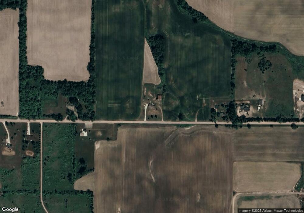
Map
Nearby Homes
- 10349 S Francis Rd
- 5337 W Chadwick Rd
- 10880 S Francis Rd
- 00 W Cutler Rd
- 11433 S Francis Rd
- 4975 W Cutler Rd
- 10510 S Airport Rd
- 10600 S Airport Rd
- 7897 S Grove Rd
- 0000 S Lowell Rd
- 8555 W Pratt Rd
- 6740 W Herbison Rd
- 8333 S Wacousta Rd
- 11603 S Wacousta Rd
- 4270 Calipso Ct
- The Mackinaw Plan at Lakeside Preserve
- The Maxwell Plan at Lakeside Preserve
- The Prescott Plan at Lakeside Preserve
- The Nantucket Plan at Lakeside Preserve
- The Windsor Plan at Lakeside Preserve
- 6260 W Chadwick Rd
- 6540 W Chadwick Rd
- 6230 W Chadwick Rd
- 6611 W Chadwick Rd
- 6639 W Chadwick Rd
- 6717 W Chadwick Rd
- 6551 W Chadwick Rd
- 6746 W Chadwick Rd
- 6713 W Chadwick Rd
- 6020 W Chadwick Rd
- 6677 W Chadwick Rd
- 10080 Lowell Rd
- 6774 W Chadwick Rd
- 6707 W Chadwick Rd
- 6864 W Chadwick Rd
- 10129 S Francis Rd
- 5870 W Chadwick Rd
- 9715 S Lowell Rd
- 9675 S Lowell Rd
- 10339 Lowell Rd