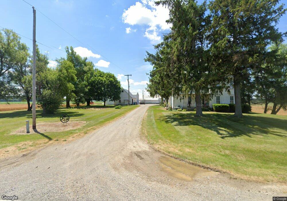
6391 E Territorial Rd Camden, MI 49232
Estimated Value: $246,000 - $489,533
--
Bed
1
Bath
1,114
Sq Ft
$345/Sq Ft
Est. Value
About This Home
This home is located at 6391 E Territorial Rd, Camden, MI 49232 and is currently estimated at $384,178, approximately $344 per square foot. 6391 E Territorial Rd is a home located in Hillsdale County with nearby schools including Waldron High School and Waldron Elementary School.
Ownership History
Date
Name
Owned For
Owner Type
Purchase Details
Closed on
Mar 13, 2023
Sold by
Bakker Amy Renee and David Bauer Revocable Living Trust
Bought by
Dauer Adam P
Current Estimated Value
Purchase Details
Closed on
Sep 13, 2010
Sold by
Dauer David
Bought by
David Dauer Revocable Living Trust
Purchase Details
Closed on
Jun 10, 1981
Sold by
Hausch John and Mary Ann
Bought by
Dauer David P and Dauer Lois
Create a Home Valuation Report for This Property
The Home Valuation Report is an in-depth analysis detailing your home's value as well as a comparison with similar homes in the area
Home Values in the Area
Average Home Value in this Area
Purchase History
| Date | Buyer | Sale Price | Title Company |
|---|---|---|---|
| Dauer Adam P | -- | -- | |
| David Dauer Revocable Living Trust | -- | None Available | |
| Dauer David P | $33,300 | -- |
Source: Public Records
Mortgage History
| Date | Status | Borrower | Loan Amount |
|---|---|---|---|
| Closed | Dauer Adam P | -- |
Source: Public Records
Tax History Compared to Growth
Tax History
| Year | Tax Paid | Tax Assessment Tax Assessment Total Assessment is a certain percentage of the fair market value that is determined by local assessors to be the total taxable value of land and additions on the property. | Land | Improvement |
|---|---|---|---|---|
| 2025 | $2,186 | $243,200 | $0 | $0 |
| 2024 | $1,002 | $202,300 | $0 | $0 |
| 2023 | $954 | $198,100 | $0 | $0 |
| 2022 | $2,111 | $180,400 | $0 | $0 |
| 2021 | $2,083 | $177,700 | $0 | $0 |
| 2020 | $2,069 | $183,000 | $0 | $0 |
| 2019 | $1,987 | $169,300 | $0 | $0 |
| 2018 | $1,895 | $158,700 | $0 | $0 |
| 2017 | $1,999 | $164,000 | $0 | $0 |
| 2016 | $2,055 | $163,580 | $0 | $0 |
| 2015 | $804 | $163,580 | $0 | $0 |
| 2013 | -- | $154,610 | $0 | $0 |
| 2012 | $760 | $131,230 | $0 | $0 |
Source: Public Records
Map
Nearby Homes
- V/L E Territorial Rd
- 4610 Wynnewood Dr
- 13151 Tripp Rd
- 4324 Oak Glen Dr
- 204 Lincoln St
- 14667 Roberts Ct
- 14621 Laura Ln
- 4002 & 4014 Meadowlawn Dr
- 14165 Crampton Rd
- 513 Tanglewood Ln
- 301 S 3rd St
- 14191 Lickley Rd
- 12471 Crampton Rd
- 16748 Us Highway 20ns
- 10800 South Rd
- 5311 E Burt Rd
- 11794 Clark Rd
- 104 Elm St
- 518 S Main St
- 14624 Williams County Road 16
- 6440 E Territorial Rd
- 6611 E Territorial Rd
- 6191 E Territorial Rd
- 6751 E Territorial Rd
- 5900 E Territorial Rd
- 7031 E Territorial Rd
- 7020 E Territorial Rd
- 5740 E Territorial Rd
- 14491 Birdlake Rd
- 14667 Tripp Rd
- 14500 Tripp Rd
- 5631 E Territorial Rd
- 5620 E Territorial Rd
- 14320 Tripp Rd
- 15565 County Road S
- 15653 County Rd S
- 15653 Road S
- 15653 County Rd S
- 15409 County Road S
- 14225 Birdlake Rd