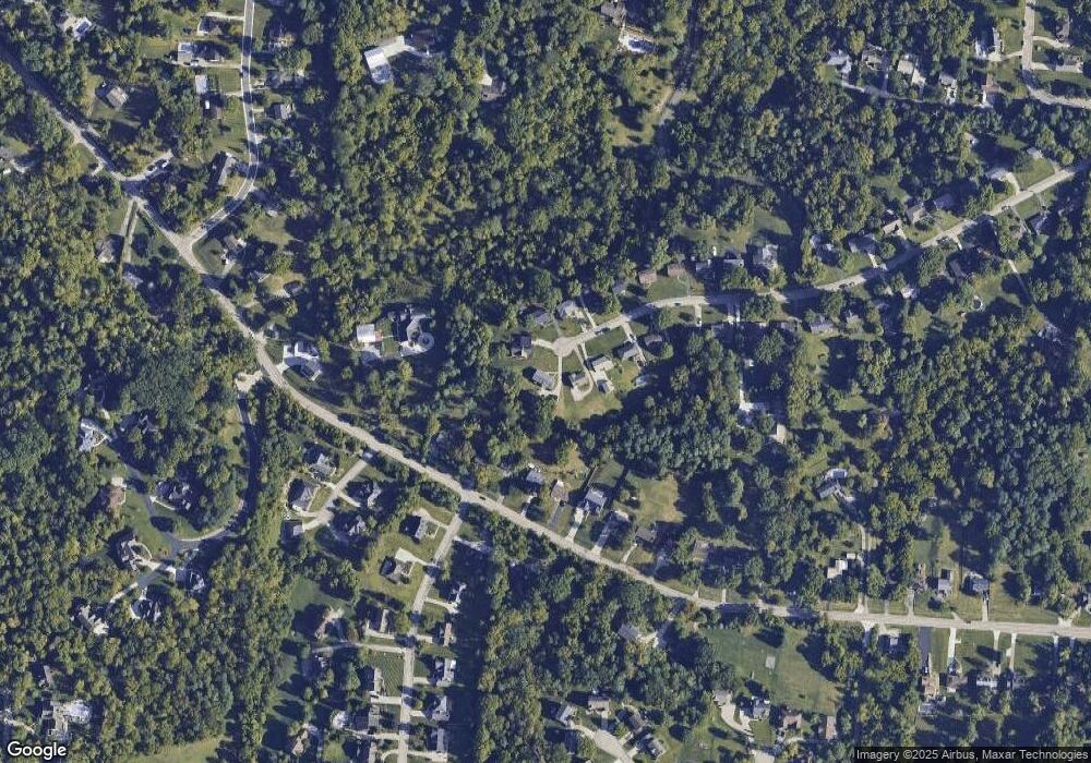
6391 Starvue Dr Cincinnati, OH 45248
Estimated Value: $260,425 - $318,000
3
Beds
2
Baths
1,788
Sq Ft
$156/Sq Ft
Est. Value
About This Home
This home is located at 6391 Starvue Dr, Cincinnati, OH 45248 and is currently estimated at $279,106, approximately $156 per square foot. 6391 Starvue Dr is a home located in Hamilton County with nearby schools including John Foster Dulles Elementary School, Rapid Run Middle School, and Oak Hills High School.
Ownership History
Date
Name
Owned For
Owner Type
Purchase Details
Closed on
Sep 30, 2002
Sold by
Tepe Lawrence J and Tepe Patricia
Bought by
Mason George M and Mason Patricia E
Current Estimated Value
Home Financials for this Owner
Home Financials are based on the most recent Mortgage that was taken out on this home.
Original Mortgage
$100,000
Interest Rate
6.34%
Create a Home Valuation Report for This Property
The Home Valuation Report is an in-depth analysis detailing your home's value as well as a comparison with similar homes in the area
Home Values in the Area
Average Home Value in this Area
Purchase History
| Date | Buyer | Sale Price | Title Company |
|---|---|---|---|
| Mason George M | $162,900 | -- |
Source: Public Records
Mortgage History
| Date | Status | Borrower | Loan Amount |
|---|---|---|---|
| Closed | Mason George M | $100,000 |
Source: Public Records
Tax History
| Year | Tax Paid | Tax Assessment Tax Assessment Total Assessment is a certain percentage of the fair market value that is determined by local assessors to be the total taxable value of land and additions on the property. | Land | Improvement |
|---|---|---|---|---|
| 2025 | $3,208 | $61,492 | $12,810 | $48,682 |
| 2024 | $3,128 | $61,492 | $12,810 | $48,682 |
| 2023 | $3,131 | $61,492 | $12,810 | $48,682 |
| 2022 | $2,786 | $46,358 | $11,956 | $34,402 |
| 2021 | $2,503 | $46,358 | $11,956 | $34,402 |
| 2020 | $2,535 | $46,358 | $11,956 | $34,402 |
| 2019 | $2,481 | $41,391 | $10,675 | $30,716 |
| 2018 | $2,485 | $41,391 | $10,675 | $30,716 |
| 2017 | $2,343 | $41,391 | $10,675 | $30,716 |
| 2016 | $2,241 | $39,529 | $10,570 | $28,959 |
| 2015 | $2,260 | $39,529 | $10,570 | $28,959 |
| 2014 | $2,263 | $39,529 | $10,570 | $28,959 |
| 2013 | $2,136 | $39,928 | $10,675 | $29,253 |
Source: Public Records
Map
Nearby Homes
- 2 Ebenezer Rd
- 3840 Ebenezer Rd
- 6684 Powner Farm Dr
- 1 Hutchinson Rd
- 4181 Hutchinson Rd
- 3105 Laurel Hill Ln
- 5703 Irwin Dr
- 3986 Trailside Dr
- 3589 Eyrich Rd
- 3994 Trailside Dr
- 4008 Trailside Dr
- 4012 Trailside Dr
- 4017 Trailside Dr
- 6419 Louese Ln
- 4033 Trailside Dr
- 3855 Ridgecombe Dr
- Cheswicke Plan at Trailside Village - Classic Series
- Serenity Plan at Trailside Village - Classic Series
- Cooke Plan at Trailside Village - Classic Series
- Hyde Park Plan at Trailside Village - Classic Series
- 6396 Starvue Dr
- 6378 Taylor Rd
- 6375 Starvue Dr
- 6366 Taylor Rd
- 6386 Taylor Rd
- 6388 Starvue Dr
- 6400 Taylor Rd
- 6378 Starvue Dr
- 6365 Starvue Dr
- 6358 Taylor Rd
- 6370 Starvue Dr
- 6412 Taylor Rd
- 6350 Taylor Rd
- 6357 Starvue Dr
- 6360 Starvue Dr
- 6418 Taylor Rd
- 6340 Taylor Rd
- 6352 Starvue Dr
- 6339 Starvue Dr
- 6531 Sherrybrook Dr
