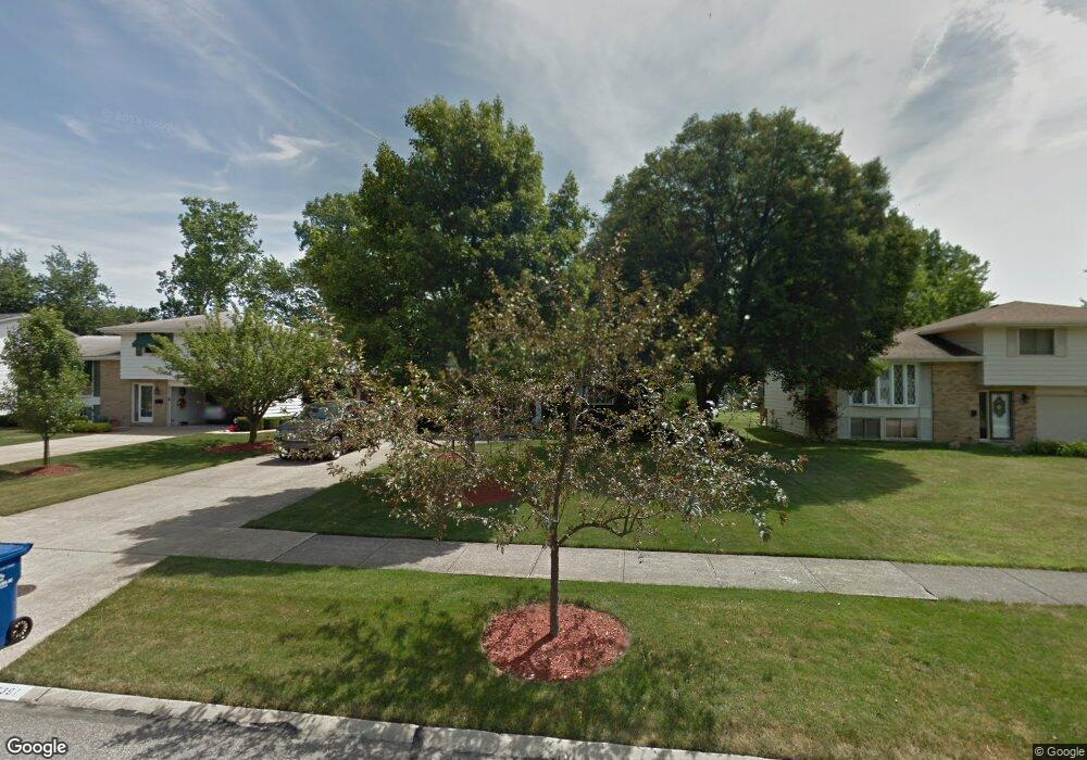
6391 Surrey Dr North Olmsted, OH 44070
Estimated Value: $340,000 - $360,870
4
Beds
3
Baths
1,976
Sq Ft
$178/Sq Ft
Est. Value
About This Home
This home is located at 6391 Surrey Dr, North Olmsted, OH 44070 and is currently estimated at $352,218, approximately $178 per square foot. 6391 Surrey Dr is a home located in Cuyahoga County with nearby schools including Chestnut Intermediate Elementary School, Pine Intermediate School, and North Olmsted Middle School.
Ownership History
Date
Name
Owned For
Owner Type
Purchase Details
Closed on
Sep 26, 2018
Sold by
Minotti Carol A
Bought by
Anthony Christopher L
Current Estimated Value
Home Financials for this Owner
Home Financials are based on the most recent Mortgage that was taken out on this home.
Original Mortgage
$191,468
Outstanding Balance
$166,971
Interest Rate
4.5%
Mortgage Type
FHA
Estimated Equity
$185,247
Purchase Details
Closed on
Jan 1, 1975
Bought by
Amodio Margaret F
Create a Home Valuation Report for This Property
The Home Valuation Report is an in-depth analysis detailing your home's value as well as a comparison with similar homes in the area
Home Values in the Area
Average Home Value in this Area
Purchase History
| Date | Buyer | Sale Price | Title Company |
|---|---|---|---|
| Anthony Christopher L | $195,000 | Northern Title Agency Inc | |
| Amodio Margaret F | -- | -- |
Source: Public Records
Mortgage History
| Date | Status | Borrower | Loan Amount |
|---|---|---|---|
| Open | Anthony Christopher L | $191,468 |
Source: Public Records
Tax History Compared to Growth
Tax History
| Year | Tax Paid | Tax Assessment Tax Assessment Total Assessment is a certain percentage of the fair market value that is determined by local assessors to be the total taxable value of land and additions on the property. | Land | Improvement |
|---|---|---|---|---|
| 2024 | $6,700 | $95,795 | $18,025 | $77,770 |
| 2023 | $5,690 | $68,250 | $12,320 | $55,930 |
| 2022 | $5,660 | $68,250 | $12,320 | $55,930 |
| 2021 | $5,136 | $68,250 | $12,320 | $55,930 |
| 2020 | $5,750 | $67,660 | $12,110 | $55,550 |
| 2019 | $5,599 | $193,300 | $34,600 | $158,700 |
| 2018 | $5,382 | $67,660 | $12,110 | $55,550 |
| 2017 | $5,172 | $58,110 | $10,540 | $47,570 |
| 2016 | $5,127 | $58,110 | $10,540 | $47,570 |
| 2015 | $5,006 | $58,110 | $10,540 | $47,570 |
| 2014 | $5,006 | $56,420 | $10,220 | $46,200 |
Source: Public Records
Map
Nearby Homes
- 6321 Brighton Dr
- 6305 Christman Dr
- 6281 Christman Dr
- 29667 Bretton Ridge Dr
- 6617 Sutton Dr
- 30247 Lorain Rd
- 6723 Warrington Dr
- 0 Stearns Rd
- 6580 Barton Rd
- 29408 Stewart Dr
- 30630 Lorain Rd
- 29861 Wellington Dr
- 28628 Aspen Dr
- 29600 Westminster Dr
- 28521 Aspen Dr
- 5833 Stearns Rd
- 6151 Sherwood Dr
- 7100 Barton Rd
- 6427 Mackenzie Rd
- 31134 Lorain Rd
- 6403 Surrey Dr
- 6379 Surrey Dr
- 6417 Surrey Dr
- 6367 Surrey Dr
- 6390 Christman Dr
- 6402 Christman Dr
- 6378 Christman Dr
- 6355 Surrey Dr
- 6427 Surrey Dr
- 6416 Christman Dr
- 6366 Christman Dr
- 6392 Surrey Dr
- 6404 Surrey Dr
- 6380 Surrey Dr
- 6418 Surrey Dr
- 6368 Surrey Dr
- 6354 Christman Dr
- 6426 Christman Dr
- 6439 Surrey Dr
- 6343 Surrey Dr