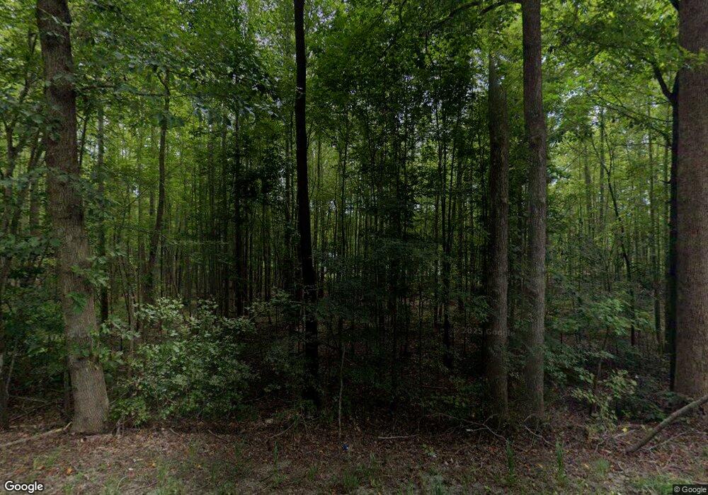
6393 Anderson Hwy Powhatan, VA 23139
Estimated Value: $400,000 - $489,000
3
Beds
2
Baths
1,616
Sq Ft
$281/Sq Ft
Est. Value
About This Home
This home is located at 6393 Anderson Hwy, Powhatan, VA 23139 and is currently estimated at $454,631, approximately $281 per square foot. 6393 Anderson Hwy is a home located in Powhatan County with nearby schools including Powhatan Elementary School, Pocahontas Middle School, and Powhatan Middle School.
Ownership History
Date
Name
Owned For
Owner Type
Purchase Details
Closed on
Aug 28, 2018
Sold by
Willis Richard C and Willis Stephanie J
Bought by
Tolbert Joshua R and Tolbert Hannah N
Current Estimated Value
Home Financials for this Owner
Home Financials are based on the most recent Mortgage that was taken out on this home.
Original Mortgage
$176,540
Outstanding Balance
$153,636
Interest Rate
4.5%
Mortgage Type
Construction
Estimated Equity
$300,995
Purchase Details
Closed on
Feb 13, 2012
Create a Home Valuation Report for This Property
The Home Valuation Report is an in-depth analysis detailing your home's value as well as a comparison with similar homes in the area
Home Values in the Area
Average Home Value in this Area
Purchase History
| Date | Buyer | Sale Price | Title Company |
|---|---|---|---|
| Tolbert Joshua R | $182,000 | -- | |
| -- | $40,000 | -- |
Source: Public Records
Mortgage History
| Date | Status | Borrower | Loan Amount |
|---|---|---|---|
| Open | Tolbert Joshua R | $176,540 |
Source: Public Records
Tax History Compared to Growth
Tax History
| Year | Tax Paid | Tax Assessment Tax Assessment Total Assessment is a certain percentage of the fair market value that is determined by local assessors to be the total taxable value of land and additions on the property. | Land | Improvement |
|---|---|---|---|---|
| 2025 | $3,307 | $440,900 | $126,100 | $314,800 |
| 2024 | $2,817 | $408,300 | $116,800 | $291,500 |
| 2023 | $2,461 | $320,600 | $104,300 | $216,300 |
| 2022 | $2,469 | $320,600 | $104,300 | $216,300 |
| 2021 | $2,516 | $296,000 | $99,300 | $196,700 |
| 2020 | $2,516 | $137,900 | $93,300 | $44,600 |
| 2019 | $2,025 | $137,900 | $93,300 | $44,600 |
| 2018 | $369 | $137,900 | $93,300 | $44,600 |
| 2017 | $737 | $83,300 | $83,300 | $0 |
| 2016 | $750 | $83,300 | $83,300 | $0 |
| 2014 | $750 | $83,300 | $83,300 | $0 |
Source: Public Records
Map
Nearby Homes
- 2215 Walnut Tree Blvd
- 2214 Walnut Tree Blvd
- 2281 Ballsville Rd
- 6320 Walnut Tree Dr
- 6584 Blenheim Rd
- 6610 Blenheim Rd
- 00 Ballsville Rd
- 1990 Walnut Tree Rd
- 0 Miller Ln
- 2679 Poplar Forest Dr
- 2715 Ballsville Rd
- 1566 Ballsville Rd
- 2889 Trenholm Rd
- 0 Banks Dr
- 2106 Old Tavern Rd
- 6256 Old Buckingham Rd
- 1642 Lakeside Dr
- 5388 Anderson Hwy
- 6390 Old Buckingham Rd
- 5364 Anderson Hwy
- 022-1-19 Mosby Rd
- 6371 Anderson Hwy
- 2261 Walnut Tree Blvd
- 6390 Anderson Hwy
- 2300 Mosby Rd
- 6382 Anderson Hwy
- 37 Walnut Tree Blvd
- 2249 Walnut Tree Blvd
- 2305 Mosby Rd
- 6370 Anderson Hwy
- 2264 Walnut Tree Blvd
- 2260 Walnut Tree Blvd
- 2235 Walnut Tree Blvd
- 6439 Anderson Hwy
- 6439 Anderson Hwy
- 6396 Anderson Hwy
- 6441 Anderson Hwy
- 2252 Walnut Tree Blvd
- 6360 Anderson Hwy
- 6386 Anderson Hwy
