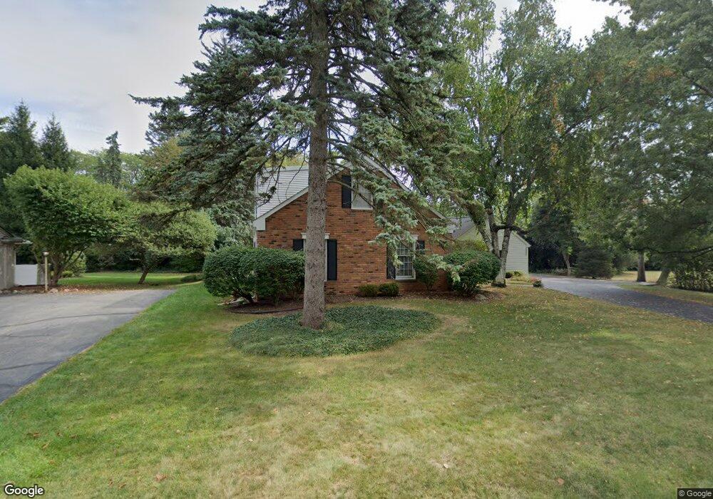
6395 E Surrey Rd Bloomfield Hills, MI 48301
Estimated Value: $615,469 - $766,000
4
Beds
2
Baths
2,071
Sq Ft
$328/Sq Ft
Est. Value
About This Home
This home is located at 6395 E Surrey Rd, Bloomfield Hills, MI 48301 and is currently estimated at $679,117, approximately $327 per square foot. 6395 E Surrey Rd is a home located in Oakland County with nearby schools including Conant Elementary School, South Hills Middle School, and Bloomfield Hills High School.
Ownership History
Date
Name
Owned For
Owner Type
Purchase Details
Closed on
Feb 2, 2006
Sold by
Kirkpatrick Robert W and Revocable Living Tr Of Helen K
Bought by
Ross David J and Burns Ross Julie A
Current Estimated Value
Create a Home Valuation Report for This Property
The Home Valuation Report is an in-depth analysis detailing your home's value as well as a comparison with similar homes in the area
Home Values in the Area
Average Home Value in this Area
Purchase History
| Date | Buyer | Sale Price | Title Company |
|---|---|---|---|
| Ross David J | $350,000 | Capital Title Ins Agency |
Source: Public Records
Tax History Compared to Growth
Tax History
| Year | Tax Paid | Tax Assessment Tax Assessment Total Assessment is a certain percentage of the fair market value that is determined by local assessors to be the total taxable value of land and additions on the property. | Land | Improvement |
|---|---|---|---|---|
| 2024 | $3,281 | $239,960 | $0 | $0 |
| 2023 | $3,175 | $230,160 | $0 | $0 |
| 2022 | $5,968 | $203,430 | $0 | $0 |
| 2021 | $5,925 | $210,120 | $0 | $0 |
| 2020 | $2,905 | $208,380 | $0 | $0 |
| 2019 | $5,575 | $192,710 | $0 | $0 |
| 2018 | $5,601 | $194,160 | $0 | $0 |
| 2017 | $5,561 | $189,550 | $0 | $0 |
| 2016 | $5,572 | $183,360 | $0 | $0 |
| 2015 | -- | $174,940 | $0 | $0 |
| 2014 | -- | $150,850 | $0 | $0 |
| 2011 | -- | $131,960 | $0 | $0 |
Source: Public Records
Map
Nearby Homes
- 750 Trailwood Path Unit B
- 450 Billingsgate Ct Unit C
- 1760 Trailwood Path
- 6572 Spruce Dr
- 6660 Woodbank Dr
- 6386 Thorncrest Dr
- 5904 Wing Lake Rd
- 6952 Sandalwood Dr
- 6360 Hills Dr
- 6450 Gilbert Lake Rd
- 6940 Wing Lake Rd
- 4017 Hidden Woods Dr
- 7005 Cathedral Dr
- 6701 Franklin Rd
- 7200 Telegraph Rd
- 7100 Wing Lake Rd
- 5741 Snowshoe Cir
- 3880 Oakland Dr
- 4428 Old Trinity Ct
- 6041 Eastmoor Rd
- 6375 E Surrey Rd
- 6375 E Surrey Rd
- 6355 E Surrey Rd
- 500 Billingsgate Ct
- 6360 E Surrey Rd
- 4220 Surrey Cross
- 200 Billingsgate Ct
- 6335 E Surrey Rd
- 6375 W Surrey Rd
- 400 Billingsgate Ct Unit 19
- 400 Billingsgate Ct
- 6330 E Surrey Rd
- 300 Billingsgate Ct
- 6345 W Surrey Rd
- 6315 E Surrey Rd
- 6310 E Surrey Rd
- 1560 Trailwood Path
- 1460 Trailwood Path
- 1260 Trailwood Path Unit 70
- 1160 Trailwood Path