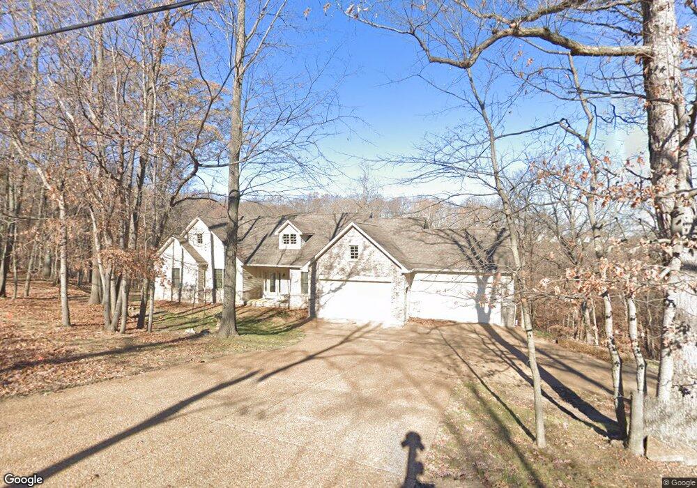
6395 Franks Rd Byrnes Mill, MO 63051
Estimated Value: $390,000 - $521,000
--
Bed
1
Bath
2,176
Sq Ft
$207/Sq Ft
Est. Value
About This Home
This home is located at 6395 Franks Rd, Byrnes Mill, MO 63051 and is currently estimated at $449,356, approximately $206 per square foot. 6395 Franks Rd is a home with nearby schools including Northwest High School and St. Anthony School.
Ownership History
Date
Name
Owned For
Owner Type
Purchase Details
Closed on
Feb 7, 2005
Sold by
Ewing Michael E and Ewing Shari L
Bought by
Ewing Michael E and Ewing Shari L
Current Estimated Value
Home Financials for this Owner
Home Financials are based on the most recent Mortgage that was taken out on this home.
Original Mortgage
$293,000
Interest Rate
4.75%
Mortgage Type
New Conventional
Create a Home Valuation Report for This Property
The Home Valuation Report is an in-depth analysis detailing your home's value as well as a comparison with similar homes in the area
Home Values in the Area
Average Home Value in this Area
Purchase History
| Date | Buyer | Sale Price | Title Company |
|---|---|---|---|
| Ewing Michael E | -- | Commonwealth Land Title |
Source: Public Records
Mortgage History
| Date | Status | Borrower | Loan Amount |
|---|---|---|---|
| Closed | Ewing Michael E | $293,000 |
Source: Public Records
Tax History Compared to Growth
Tax History
| Year | Tax Paid | Tax Assessment Tax Assessment Total Assessment is a certain percentage of the fair market value that is determined by local assessors to be the total taxable value of land and additions on the property. | Land | Improvement |
|---|---|---|---|---|
| 2025 | $3,709 | $54,700 | $7,400 | $47,300 |
| 2024 | $3,709 | $51,000 | $7,400 | $43,600 |
| 2023 | $3,709 | $51,000 | $7,400 | $43,600 |
| 2022 | $3,690 | $51,000 | $7,400 | $43,600 |
| 2021 | $3,668 | $51,000 | $7,400 | $43,600 |
| 2020 | $3,349 | $45,500 | $6,700 | $38,800 |
| 2019 | $3,343 | $45,500 | $6,700 | $38,800 |
| 2018 | $3,387 | $45,500 | $6,700 | $38,800 |
| 2017 | $3,256 | $45,500 | $6,700 | $38,800 |
| 2016 | $3,065 | $42,400 | $6,700 | $35,700 |
| 2015 | $3,159 | $43,400 | $7,500 | $35,900 |
| 2013 | $3,159 | $42,400 | $6,800 | $35,600 |
Source: Public Records
Map
Nearby Homes
- 6752 Walnut Valley Dr
- 6152 Franks Rd
- 0 High Ridge Manor Resub Lot 6 Unit MIS25065011
- 0 High Ridge Manor Resub Lot 6 Unit MIS25049757
- 0 High Ridge Manor Resub Lot 7 Unit MAR25011806
- 0 Old Gravois Rd
- 3633 Log Cabin Ln
- 6302 Upper Byrnes Mill Rd
- 302 Anthony Cir
- 3279 Echo Lake Dr
- 5916 Roger Rd
- 3291 Echo Lake Dr
- 192 Bobwhite Ln Unit 192
- 0 Manor Crest Dr Unit MIS25054810
- 6144 Misty Meadow Dr
- 45 Rd
- 74 Mockingbird Hill Unit 74
- 173 Cardinal Ln Unit 173
- 172 Cardinal Ln Unit 172
- 5800 5800 St Rd Pp
- 6394 Franks Rd
- 6401 Franks Rd
- 6402 Franks Rd
- 6370 Franks Rd
- 0 Narragansett Dr
- 3512 Walnut View
- 6364 Franks Rd
- 6416 Franks Rd
- 3508 Walnut View
- 6415 Franks Rd
- 6355 Franks Rd
- 3515 Walnut View
- 3504 Walnut View
- 6354 Franks Rd
- 1062 Walnut Terrace
- 3511 Walnut View
- 1058 Walnut Terrace
- 3380 Franks Ct
- 6335 Franks Rd
- 3507 Walnut View