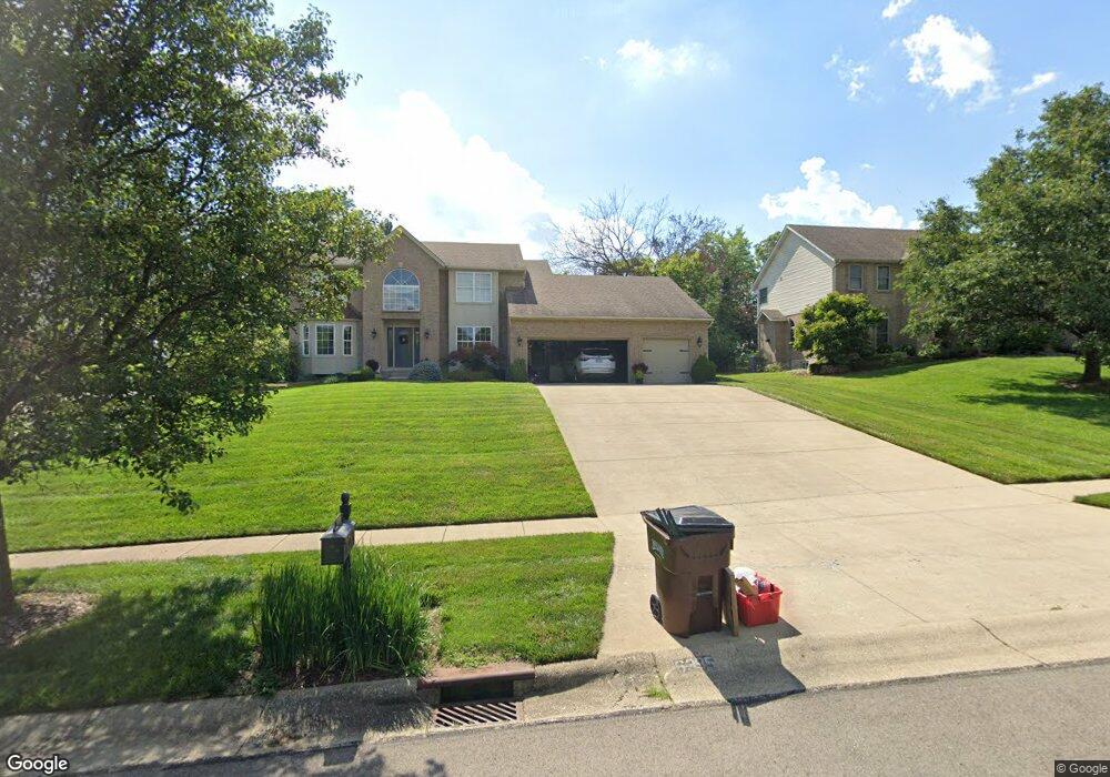
6395 S Snowmass Dr Liberty Township, OH 45011
Estimated Value: $462,000 - $505,000
4
Beds
3
Baths
2,742
Sq Ft
$174/Sq Ft
Est. Value
About This Home
This home is located at 6395 S Snowmass Dr, Liberty Township, OH 45011 and is currently estimated at $476,219, approximately $173 per square foot. 6395 S Snowmass Dr is a home located in Butler County with nearby schools including Heritage Early Childhood School, Cherokee Elementary School, and Lakota Plains Junior School.
Ownership History
Date
Name
Owned For
Owner Type
Purchase Details
Closed on
May 27, 1998
Sold by
Mckay Anthony P
Bought by
Tenley Raymond and Tenley Brenda C
Current Estimated Value
Home Financials for this Owner
Home Financials are based on the most recent Mortgage that was taken out on this home.
Original Mortgage
$130,000
Interest Rate
7.32%
Purchase Details
Closed on
Jan 6, 1998
Sold by
Heritage Homes Inc
Bought by
Mckay Anthony P
Home Financials for this Owner
Home Financials are based on the most recent Mortgage that was taken out on this home.
Original Mortgage
$65,000
Interest Rate
7.26%
Purchase Details
Closed on
Sep 2, 1997
Sold by
Trst James M Dixon
Bought by
Heritage Homes Inc
Home Financials for this Owner
Home Financials are based on the most recent Mortgage that was taken out on this home.
Original Mortgage
$154,000
Interest Rate
7.57%
Mortgage Type
New Conventional
Create a Home Valuation Report for This Property
The Home Valuation Report is an in-depth analysis detailing your home's value as well as a comparison with similar homes in the area
Home Values in the Area
Average Home Value in this Area
Purchase History
| Date | Buyer | Sale Price | Title Company |
|---|---|---|---|
| Tenley Raymond | $195,000 | -- | |
| Mckay Anthony P | $191,772 | -- | |
| Heritage Homes Inc | $37,900 | -- |
Source: Public Records
Mortgage History
| Date | Status | Borrower | Loan Amount |
|---|---|---|---|
| Previous Owner | Tenley Raymond | $130,000 | |
| Previous Owner | Mckay Anthony P | $65,000 | |
| Previous Owner | Heritage Homes Inc | $154,000 |
Source: Public Records
Tax History Compared to Growth
Tax History
| Year | Tax Paid | Tax Assessment Tax Assessment Total Assessment is a certain percentage of the fair market value that is determined by local assessors to be the total taxable value of land and additions on the property. | Land | Improvement |
|---|---|---|---|---|
| 2024 | $5,427 | $134,620 | $17,150 | $117,470 |
| 2023 | $5,358 | $135,720 | $17,150 | $118,570 |
| 2022 | $4,452 | $87,520 | $17,150 | $70,370 |
| 2021 | $4,429 | $87,520 | $17,150 | $70,370 |
| 2020 | $4,542 | $87,520 | $17,150 | $70,370 |
| 2019 | $7,945 | $82,480 | $16,320 | $66,160 |
| 2018 | $4,781 | $82,480 | $16,320 | $66,160 |
| 2017 | $4,861 | $82,480 | $16,320 | $66,160 |
| 2016 | $4,387 | $73,900 | $16,320 | $57,580 |
| 2015 | $4,357 | $73,900 | $16,320 | $57,580 |
| 2014 | $4,560 | $73,900 | $16,320 | $57,580 |
| 2013 | $4,560 | $74,010 | $16,320 | $57,690 |
Source: Public Records
Map
Nearby Homes
- 6384 S Snowmass Dr
- 4628 Beech Knoll Ln
- 6406 Whippoorwill Dr
- 6406 Whippoorwill Way
- 4600 Snowbird Dr
- 4296 Moselle Dr
- 4300 Pheasant Trail Ct
- 1 Princeton Rd
- 4925 Fescue Dr
- 4832 Willow Ridge Dr
- 6077 Snow Hill Dr
- 4354 Cody Brook Dr
- 4520 Logsdons Meadow Dr
- 4368 Stone Trace Ln
- 4871 Imperial Dr
- 4864 Aspen Dr
- 4983 Fescue Dr
- 6093 Griffin Ct
- 5001 Fescue Dr
- 4824 Aspen Dr
- 6405 S Snowmass Dr
- 6385 S Snowmass Dr
- 6436 Kingsley Ct
- 6415 S Snowmass Dr
- 4533 Moselle Dr
- 6416 Kingsley Ct
- 6446 Kingsley Ct
- 6394 S Snowmass Dr
- 6404 S Snowmass Dr
- 4525 Moselle Dr
- 6456 Kingsley Ct
- 6425 S Snowmass Dr
- 240 Kingsley Ct
- 6414 S Snowmass Dr
- 6374 S Snowmass Dr
- 6466 Kingsley Ct
- 6421 Kingsley Ct
- 6424 S Snowmass Dr
- 6441 Kingsley Ct
- 6355 S Snowmass Dr