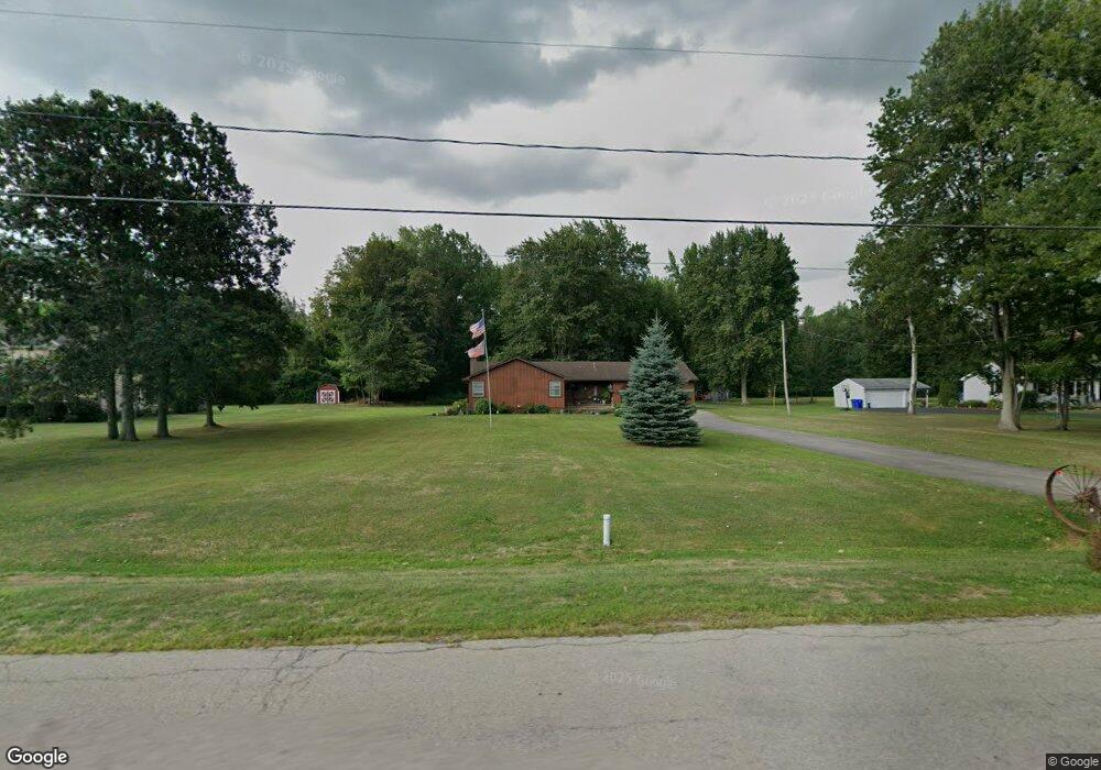
6396 Dale Rd Newfane, NY 14108
Estimated Value: $210,000 - $274,061
3
Beds
1
Bath
1,607
Sq Ft
$155/Sq Ft
Est. Value
About This Home
This home is located at 6396 Dale Rd, Newfane, NY 14108 and is currently estimated at $249,015, approximately $154 per square foot. 6396 Dale Rd is a home located in Niagara County with nearby schools including Newfane Elementary School, Newfane Middle School, and Newfane Senior High School.
Ownership History
Date
Name
Owned For
Owner Type
Purchase Details
Closed on
Mar 9, 2015
Sold by
Corsaro Anthony L
Bought by
Corsaro Anthony L and Corsaro
Current Estimated Value
Purchase Details
Closed on
Feb 10, 2005
Sold by
Secretary Of Veterans Affairs
Bought by
Corsaro Anthony
Home Financials for this Owner
Home Financials are based on the most recent Mortgage that was taken out on this home.
Original Mortgage
$93,926
Interest Rate
5.83%
Mortgage Type
FHA
Purchase Details
Closed on
May 25, 2004
Sold by
Letcher Thomas
Bought by
Secretary Of Veteran's Affairs
Create a Home Valuation Report for This Property
The Home Valuation Report is an in-depth analysis detailing your home's value as well as a comparison with similar homes in the area
Home Values in the Area
Average Home Value in this Area
Purchase History
| Date | Buyer | Sale Price | Title Company |
|---|---|---|---|
| Corsaro Anthony L | -- | -- | |
| Corsaro Anthony | $77,500 | Angela Stamm-Phillips | |
| Secretary Of Veteran's Affairs | $92,874 | Shapiro & Dicaro |
Source: Public Records
Mortgage History
| Date | Status | Borrower | Loan Amount |
|---|---|---|---|
| Previous Owner | Corsaro Anthony | $93,926 |
Source: Public Records
Tax History
| Year | Tax Paid | Tax Assessment Tax Assessment Total Assessment is a certain percentage of the fair market value that is determined by local assessors to be the total taxable value of land and additions on the property. | Land | Improvement |
|---|---|---|---|---|
| 2025 | $5,137 | $105,300 | $14,500 | $90,800 |
| 2024 | $5,137 | $105,300 | $14,500 | $90,800 |
| 2023 | $4,954 | $105,300 | $14,500 | $90,800 |
| 2022 | $4,864 | $105,300 | $14,500 | $90,800 |
| 2021 | $4,832 | $105,300 | $14,500 | $90,800 |
| 2020 | $4,090 | $105,300 | $14,500 | $90,800 |
| 2019 | $3,833 | $105,300 | $14,500 | $90,800 |
| 2018 | $3,999 | $105,300 | $14,500 | $90,800 |
| 2017 | $3,833 | $105,300 | $14,500 | $90,800 |
| 2016 | $3,756 | $105,300 | $14,500 | $90,800 |
| 2015 | -- | $105,300 | $14,500 | $90,800 |
| 2014 | -- | $105,300 | $14,500 | $90,800 |
Source: Public Records
Map
Nearby Homes
- 6286 Bayview Station
- 6266 Bayview Station
- 6242 Corwin Station
- 2991 Lockport Olcott Rd
- 2763 Transit Rd
- 3248 Lockport Olcott Rd
- 6073 2nd St
- 6160 Karen Ave
- 6852 Hatter Rd
- 6067 East Ave
- 2526 Merritt Ave
- 1409 Breeze E
- 6000 Ide Rd
- 5998 Ide Rd
- 3454 Ewings Rd
- 7124 Ridge Rd
- VL Coomer Rd
- 7233 Ridge Rd
- 3735 Lockport Olcott Rd
- 5948 Chestnut Rd
Your Personal Tour Guide
Ask me questions while you tour the home.