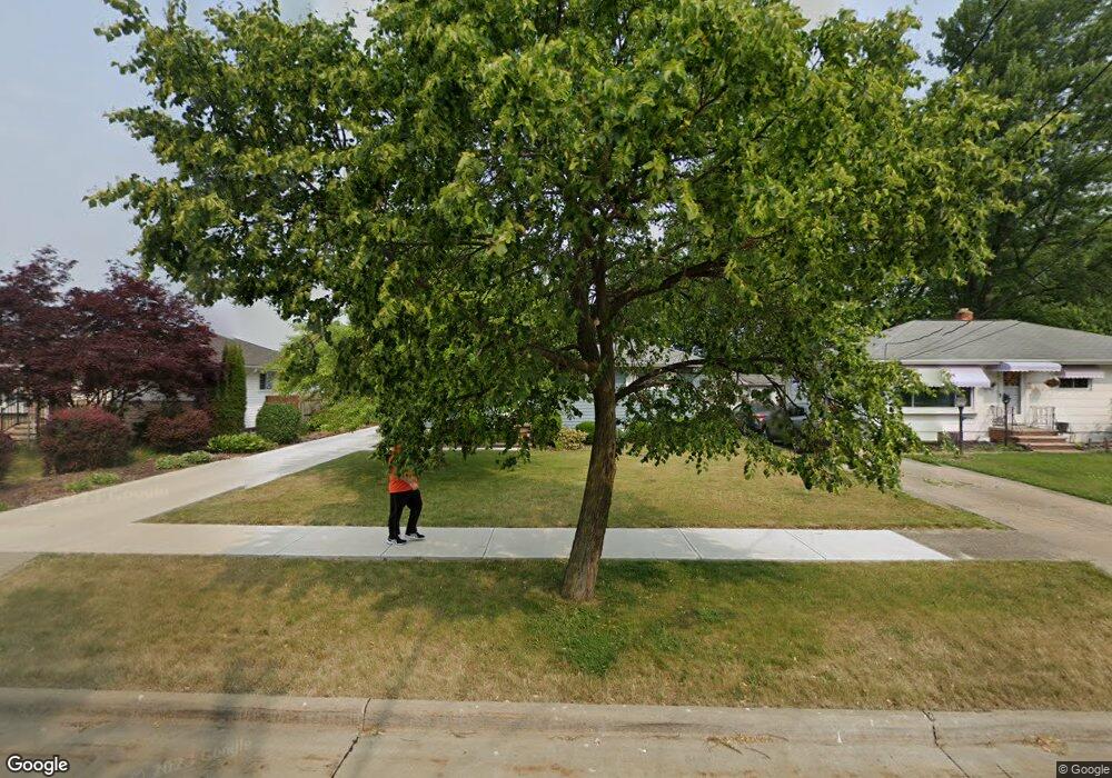
6396 Michael Dr Brookpark, OH 44142
Estimated Value: $201,077 - $216,000
3
Beds
2
Baths
988
Sq Ft
$213/Sq Ft
Est. Value
About This Home
This home is located at 6396 Michael Dr, Brookpark, OH 44142 and is currently estimated at $210,269, approximately $212 per square foot. 6396 Michael Dr is a home located in Cuyahoga County with nearby schools including Berea-Midpark Middle School, Berea-Midpark High School, and Huber Heights Preparatory Academy Parma Academy.
Ownership History
Date
Name
Owned For
Owner Type
Purchase Details
Closed on
Feb 27, 2020
Sold by
Spilker Martin F and Spilker Judith M
Bought by
Spilker Martin F and Spilker Judith M
Current Estimated Value
Purchase Details
Closed on
Jul 3, 2000
Sold by
Uhas William J
Bought by
Spilker Martin F
Home Financials for this Owner
Home Financials are based on the most recent Mortgage that was taken out on this home.
Original Mortgage
$89,000
Outstanding Balance
$29,787
Interest Rate
8.55%
Mortgage Type
Purchase Money Mortgage
Estimated Equity
$180,482
Purchase Details
Closed on
Aug 25, 1986
Sold by
Uhas William A and Uhas Mary A
Bought by
Uhas Mary A
Purchase Details
Closed on
Apr 2, 1985
Sold by
Uhas William A and Uhas Mary A
Bought by
Uhas William A and Uhas Mary A
Purchase Details
Closed on
Jan 1, 1975
Bought by
Uhas William A and Uhas Mary A
Create a Home Valuation Report for This Property
The Home Valuation Report is an in-depth analysis detailing your home's value as well as a comparison with similar homes in the area
Home Values in the Area
Average Home Value in this Area
Purchase History
We collect this data history from publicly available records. To have your information removed, we recommend requesting removal directly through your county’s website.
| Date | Buyer | Sale Price | Title Company |
|---|---|---|---|
| Spilker Martin F | -- | None Available | |
| Spilker Martin F | $117,000 | City Title Company Agency In | |
| Uhas Mary A | -- | -- | |
| Uhas William A | -- | -- | |
| Uhas William A | -- | -- |
Source: Public Records
Mortgage History
We collect this data history from publicly available records. To have your information removed, we recommend requesting removal directly through your county’s website.
| Date | Status | Borrower | Loan Amount |
|---|---|---|---|
| Open | Spilker Martin F | $89,000 |
Source: Public Records
Tax History
| Year | Tax Paid | Tax Assessment Tax Assessment Total Assessment is a certain percentage of the fair market value that is determined by local assessors to be the total taxable value of land and additions on the property. | Land | Improvement |
|---|---|---|---|---|
| 2025 | $2,550 | $61,005 | $13,580 | $47,425 |
| 2024 | $2,583 | $61,005 | $13,580 | $47,425 |
| 2023 | $2,371 | $48,090 | $10,220 | $37,870 |
| 2022 | $2,379 | $48,090 | $10,220 | $37,870 |
| 2021 | $2,365 | $48,090 | $10,220 | $37,870 |
| 2020 | $2,011 | $38,190 | $8,120 | $30,070 |
| 2019 | $1,951 | $109,100 | $23,200 | $85,900 |
| 2018 | $1,810 | $38,190 | $8,120 | $30,070 |
| 2017 | $1,816 | $34,160 | $7,210 | $26,950 |
| 2016 | $1,801 | $34,160 | $7,210 | $26,950 |
| 2015 | $1,690 | $34,160 | $7,210 | $26,950 |
| 2014 | $1,690 | $34,160 | $7,210 | $26,950 |
Source: Public Records
Map
Nearby Homes
- 14396 Park Dr
- 15425 Richard Dr
- 6525 Sandfield Dr
- 6330 Sandfield Dr
- 15424 Holland Rd
- 6377 Ledgebrook Dr
- 15450 Roxboro Dr
- 6330 Stonecrest Dr
- 15504 Roxboro Dr
- 6115 Morrow Dr
- 15672 Roxboro Dr Unit 19
- 16090 Yarmouth Oval
- 15496 Shaleside Ct
- 6103 Westbrook Dr
- 14122 Donald Dr
- 6721 Woodruff Ct
- 6735 Columbine Ct
- 6188 Barbara Ln
- 16457 Emerald Point Unit B16457
- 6840 Middlebrook Blvd
- 6404 Michael Dr
- 6408 Michael Dr
- 6400 Michael Dr
- 15036 Montvale Dr
- 15048 Montvale Dr
- 6392 Michael Dr
- 6422 Michael Dr
- 14973 Lindmont Dr
- 6405 Michael Dr
- 6401 Michael Dr
- 15060 Montvale Dr
- 6409 Michael Dr
- 14995 Lindmont Dr
- 6388 Michael Dr
- 6430 Michael Dr
- 6397 Michael Dr
- 15043 Montvale Dr
- 15017 Lindmont Dr
- 6417 Michael Dr
- 6393 Michael Dr
Your Personal Tour Guide
Ask me questions while you tour the home.