Estimated Value: $132,951 - $250,000
3
Beds
1
Bath
1,544
Sq Ft
$141/Sq Ft
Est. Value
About This Home
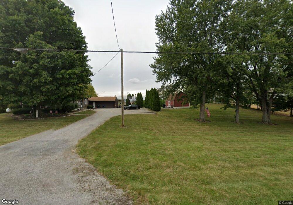
This home is located at 6396 State Route 196, Lima, OH 45806 and is currently estimated at $218,238, approximately $141 per square foot. 6396 State Route 196 is a home located in Allen County with nearby schools including Allen East Elementary School, Allen East Middle School, and Allen East High School.
Ownership History
Date
Name
Owned For
Owner Type
Purchase Details
Closed on
Jun 23, 2023
Sold by
Hauk Nancy L and Hauk Kenneth
Bought by
Wukusick Thomas and Wukusick Stephanie
Current Estimated Value
Home Financials for this Owner
Home Financials are based on the most recent Mortgage that was taken out on this home.
Original Mortgage
$73,641
Outstanding Balance
$70,915
Interest Rate
4.99%
Mortgage Type
FHA
Estimated Equity
$147,323
Purchase Details
Closed on
Mar 27, 1998
Sold by
Isbell Charles
Bought by
Hauk Nancy
Home Financials for this Owner
Home Financials are based on the most recent Mortgage that was taken out on this home.
Original Mortgage
$69,300
Interest Rate
7.15%
Mortgage Type
New Conventional
Purchase Details
Closed on
Dec 2, 1993
Sold by
Rumer Scott A
Bought by
Isbell Charles F
Purchase Details
Closed on
Oct 14, 1988
Bought by
Rumer Scott A
Create a Home Valuation Report for This Property
The Home Valuation Report is an in-depth analysis detailing your home's value as well as a comparison with similar homes in the area
Purchase History
We collect this data history from publicly available records. To have your information removed, we recommend requesting removal directly through your county’s website.
| Date | Buyer | Sale Price | Title Company |
|---|---|---|---|
| Wukusick Thomas | $75,000 | None Listed On Document | |
| Wukusick Thomas | $75,000 | None Listed On Document | |
| Hauk Nancy | $77,000 | -- | |
| Hauk Nancy | $77,000 | -- | |
| Isbell Charles F | $58,000 | -- | |
| Isbell Charles F | $58,000 | -- | |
| Rumer Scott A | $60,000 | -- | |
| Rumer Scott A | $60,000 | -- |
Source: Public Records
Mortgage History
We collect this data history from publicly available records. To have your information removed, we recommend requesting removal directly through your county’s website.
| Date | Status | Borrower | Loan Amount |
|---|---|---|---|
| Open | Wukusick Thomas | $73,641 | |
| Previous Owner | Hauk Nancy | $69,300 |
Source: Public Records
Tax History
| Year | Tax Paid | Tax Assessment Tax Assessment Total Assessment is a certain percentage of the fair market value that is determined by local assessors to be the total taxable value of land and additions on the property. | Land | Improvement |
|---|---|---|---|---|
| 2024 | $2,110 | $61,330 | $8,020 | $53,310 |
| 2023 | $1,899 | $48,270 | $6,300 | $41,970 |
| 2022 | $1,889 | $48,270 | $6,300 | $41,970 |
| 2021 | $1,842 | $48,270 | $6,300 | $41,970 |
| 2020 | $1,634 | $41,720 | $5,670 | $36,050 |
| 2019 | $1,634 | $41,720 | $5,670 | $36,050 |
| 2018 | $1,536 | $41,720 | $5,670 | $36,050 |
| 2017 | $1,442 | $35,700 | $5,670 | $30,030 |
| 2016 | $1,434 | $35,700 | $5,670 | $30,030 |
| 2015 | $1,516 | $35,700 | $5,670 | $30,030 |
| 2014 | $1,516 | $36,610 | $5,320 | $31,290 |
| 2013 | $1,481 | $36,610 | $5,320 | $31,290 |
Source: Public Records
Map
Nearby Homes
- 25353 Buckland Holden Rd
- 8150 Amherst Rd
- 24702 Buckland Holden Rd
- 4850 Bowdle Rd
- 101 Sunrise Dr
- 533 N Westminster St
- 7165 Faulkner Rd
- 404 N Westminster St
- 105 Guthrie St
- 9310 Faulkner Rd
- 204 S Westminster St
- 25702 Ohio 67
- 4500 McPheron Rd
- 16120 Waynesfield Rd
- 4160 E Hanthorn Rd
- 4343 E Hanthorn Rd
- 0 Brentlinger Rd
- 1855 S Cool Rd
- 2407 E Breese Rd
- 0000 E Hume Rd
- 6396 Waynesfield Rd
- 6440 State Route 196
- 6440 Waynesfield Rd
- 6427 State Route 196
- 6450 State Route 196
- 6464 State Route 196
- 6535 State Route 196
- 6565 State Route 196
- 6565 Waynesfield Rd
- 6570 State Route 196
- 6900 Amherst Rd
- 6200 State Route 196
- 6200 Waynesfield Rd
- 6895 Amherst Rd
- 6821 Amherst Rd
- 6597 Waynesfield Rd
- 6787 Amherst Rd
- 6664 Amherst Rd
- 6753 Amherst Rd
- 6885 Auglaize County Line Rd
Your Personal Tour Guide
Ask me questions while you tour the home.