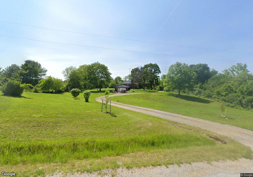
63963 Range Rd Lore City, OH 43755
Estimated Value: $201,783 - $241,000
--
Bed
--
Bath
1,509
Sq Ft
$142/Sq Ft
Est. Value
About This Home
This home is located at 63963 Range Rd, Lore City, OH 43755 and is currently estimated at $214,946, approximately $142 per square foot. 63963 Range Rd is a home with nearby schools including Buckeye Trail Elementary School, Buckeye Trail Middle School, and Buckeye Trail High School.
Ownership History
Date
Name
Owned For
Owner Type
Purchase Details
Closed on
Dec 27, 2022
Sold by
Burris Herbert A and Burris Janice E
Bought by
Chafin Richard E and Chafin Annastacia C
Current Estimated Value
Home Financials for this Owner
Home Financials are based on the most recent Mortgage that was taken out on this home.
Original Mortgage
$170,000
Outstanding Balance
$161,743
Interest Rate
4%
Mortgage Type
VA
Estimated Equity
$53,203
Create a Home Valuation Report for This Property
The Home Valuation Report is an in-depth analysis detailing your home's value as well as a comparison with similar homes in the area
Home Values in the Area
Average Home Value in this Area
Purchase History
| Date | Buyer | Sale Price | Title Company |
|---|---|---|---|
| Chafin Richard E | $170,000 | Northwest Title |
Source: Public Records
Mortgage History
| Date | Status | Borrower | Loan Amount |
|---|---|---|---|
| Open | Chafin Richard E | $170,000 |
Source: Public Records
Tax History Compared to Growth
Tax History
| Year | Tax Paid | Tax Assessment Tax Assessment Total Assessment is a certain percentage of the fair market value that is determined by local assessors to be the total taxable value of land and additions on the property. | Land | Improvement |
|---|---|---|---|---|
| 2024 | $1,906 | $51,296 | $11,235 | $40,061 |
| 2023 | $1,906 | $42,045 | $9,208 | $32,837 |
| 2022 | $1,314 | $42,050 | $9,210 | $32,840 |
| 2021 | $1,266 | $42,050 | $9,210 | $32,840 |
| 2020 | $1,142 | $39,130 | $7,790 | $31,340 |
| 2019 | $6 | $39,130 | $7,790 | $31,340 |
| 2018 | $1,089 | $39,130 | $7,790 | $31,340 |
| 2017 | $1,002 | $33,920 | $6,770 | $27,150 |
| 2016 | $995 | $33,920 | $6,770 | $27,150 |
| 2015 | $995 | $33,920 | $6,770 | $27,150 |
| 2014 | -- | $31,920 | $5,190 | $26,730 |
| 2013 | $921 | $31,920 | $5,190 | $26,730 |
Source: Public Records
Map
Nearby Homes
- 63730 Wintergreen Rd
- 63700 Wintergreen Rd
- 63720 Wintergreen Rd
- 63690 Wintergreen Rd
- 63680 Wintergreen Rd
- 63660 Wintergreen Rd
- 63620 Wintergreen Rd
- 63570 Wintergreen Rd
- 63600 Wintergreen Rd
- 63580 Wintergreen Rd
- 63530 Wintergreen Rd
- 64508 Slade Rd
- 61691 Wintergreen Rd
- 62424 Institute Rd
- 63590 Wintergreen Rd
- 192 Main St NW
- 193 Main St NW
- 61272 Salem Rd
- 139 East St
- 60563 Wintergreen Rd
- 63969 Range Rd
- 64115 Range Rd
- 64251 Range Rd
- 64383 Range Rd
- 64393 Range Rd
- 63938 Wintergreen Rd
- 63650 Wintergreen Rd
- 64158 Wintergreen Rd
- 63560 Wintergreen Rd
- 63968 County Home Rd
- Lot # 1 Wintergreen Rd
- 64175-Lot #1 Wintergreen Rd
- 64010 County Home Rd
- Lot #6 Wintergreen Rd
- 63800 County Home Rd
- 64063 County Home Rd
- 63010 Range Rd
- Lot #3 Wintergreen Rd
- 64068 County Home Rd
- 64175 Wintergreen Rd