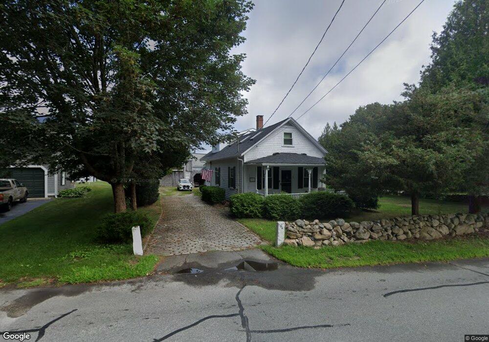
64 Acushnet Rd Mattapoisett, MA 02739
Estimated Value: $633,000 - $812,000
4
Beds
2
Baths
1,904
Sq Ft
$369/Sq Ft
Est. Value
About This Home
This home is located at 64 Acushnet Rd, Mattapoisett, MA 02739 and is currently estimated at $703,268, approximately $369 per square foot. 64 Acushnet Rd is a home located in Plymouth County with nearby schools including Center School, Old Hammondtown Elementary, and Old Rochester Regional High School.
Create a Home Valuation Report for This Property
The Home Valuation Report is an in-depth analysis detailing your home's value as well as a comparison with similar homes in the area
Home Values in the Area
Average Home Value in this Area
Tax History Compared to Growth
Tax History
| Year | Tax Paid | Tax Assessment Tax Assessment Total Assessment is a certain percentage of the fair market value that is determined by local assessors to be the total taxable value of land and additions on the property. | Land | Improvement |
|---|---|---|---|---|
| 2025 | $5,652 | $525,300 | $201,700 | $323,600 |
| 2024 | $5,421 | $515,800 | $201,700 | $314,100 |
| 2023 | $4,982 | $442,800 | $180,000 | $262,800 |
| 2022 | $4,795 | $386,700 | $150,000 | $236,700 |
| 2021 | $4,816 | $371,600 | $166,700 | $204,900 |
| 2020 | $4,533 | $336,000 | $158,600 | $177,400 |
| 2019 | $4,439 | $336,000 | $158,600 | $177,400 |
| 2018 | $4,064 | $312,100 | $140,400 | $171,700 |
| 2017 | $3,796 | $290,400 | $140,400 | $150,000 |
| 2016 | $3,926 | $297,400 | $147,400 | $150,000 |
| 2015 | $3,718 | $286,000 | $140,400 | $145,600 |
| 2014 | $3,714 | $292,000 | $140,400 | $151,600 |
Source: Public Records
Map
Nearby Homes
- 47 Fairhaven Rd
- 13 Park Place
- 9 Hitching Post Rd
- 7 Pearl St
- 35 North St
- 12 Cannon St
- 83 Fairhaven Rd
- 8 Captains Ln
- 11 Captains Ln
- 3 Brandt Island Rd
- 52 Prince Snow Cir
- 0 Whalers Way
- 19 High Ridge Dr
- 1 Starboard Way
- 41 Starboard Way
- 15 Ned's Point Rd
- 421 Huttleston Ave
- 20 Forestview Dr
- 31 Split Rock Ln
- 0 Harbor Acres Ln - Lot B