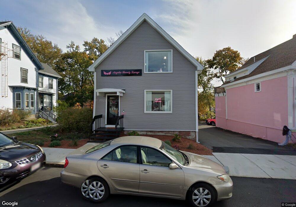
64 Albion St Wakefield, MA 01880
Downtown Wakefield NeighborhoodEstimated Value: $630,129
--
Bed
2
Baths
1,600
Sq Ft
$394/Sq Ft
Est. Value
About This Home
This home is located at 64 Albion St, Wakefield, MA 01880 and is currently estimated at $630,129, approximately $393 per square foot. 64 Albion St is a home located in Middlesex County with nearby schools including Wakefield Memorial High School, St Joseph School, and Odyssey Day School.
Ownership History
Date
Name
Owned For
Owner Type
Purchase Details
Closed on
Feb 7, 2022
Sold by
Mm Rt and Penza
Bought by
Alt Properties Llc
Current Estimated Value
Home Financials for this Owner
Home Financials are based on the most recent Mortgage that was taken out on this home.
Original Mortgage
$423,200
Outstanding Balance
$390,973
Interest Rate
3.45%
Mortgage Type
Purchase Money Mortgage
Estimated Equity
$239,156
Purchase Details
Closed on
Dec 6, 2000
Sold by
Decker Robert W
Bought by
Camerlengo Philip J
Home Financials for this Owner
Home Financials are based on the most recent Mortgage that was taken out on this home.
Original Mortgage
$250,000
Interest Rate
7.64%
Mortgage Type
Commercial
Create a Home Valuation Report for This Property
The Home Valuation Report is an in-depth analysis detailing your home's value as well as a comparison with similar homes in the area
Home Values in the Area
Average Home Value in this Area
Purchase History
| Date | Buyer | Sale Price | Title Company |
|---|---|---|---|
| Alt Properties Llc | $529,000 | None Available | |
| Camerlengo Philip J | $300,000 | -- |
Source: Public Records
Mortgage History
| Date | Status | Borrower | Loan Amount |
|---|---|---|---|
| Open | Alt Properties Llc | $423,200 | |
| Previous Owner | Camerlengo Philip J | $250,000 | |
| Previous Owner | Camerlengo Philip J | $120,000 | |
| Previous Owner | Camerlengo Philip J | $108,000 |
Source: Public Records
Tax History Compared to Growth
Tax History
| Year | Tax Paid | Tax Assessment Tax Assessment Total Assessment is a certain percentage of the fair market value that is determined by local assessors to be the total taxable value of land and additions on the property. | Land | Improvement |
|---|---|---|---|---|
| 2025 | $10,943 | $502,900 | $282,100 | $220,800 |
| 2024 | $10,490 | $483,400 | $271,000 | $212,400 |
| 2023 | $9,271 | $412,800 | $231,000 | $181,800 |
| 2022 | $9,441 | $397,200 | $222,100 | $175,100 |
| 2021 | $9,555 | $387,300 | $215,700 | $171,600 |
| 2020 | $9,652 | $387,300 | $215,700 | $171,600 |
| 2019 | $9,459 | $376,100 | $209,400 | $166,700 |
| 2018 | $9,343 | $364,800 | $204,500 | $160,300 |
| 2017 | $9,147 | $352,500 | $197,600 | $154,900 |
| 2016 | $9,063 | $335,300 | $188,200 | $147,100 |
| 2015 | $9,127 | $335,300 | $188,200 | $147,100 |
| 2014 | $8,741 | $335,300 | $188,200 | $147,100 |
Source: Public Records
Map
Nearby Homes
- 50 Albion St
- 9 Avon St Unit 2
- 62 Foundry St Unit 310
- 62 Foundry St Unit 312
- 62 Foundry St Unit 204
- 62 Foundry St Unit 202
- 62 Foundry St Unit 208
- 62 Foundry St Unit 414
- 62 Foundry St Unit 313
- 51 Crescent St
- 6 Avon Ct Unit 2
- 69 Foundry St Unit 416
- 69 Foundry St Unit 310
- 24 Park St
- 22 Jefferson Rd
- 16 Pleasant St
- 47 Emerson St
- 34 Cedar St
- 35 Richardson St Unit 2
- 38 Bennett St Unit 3D
- 58 Albion St
- 78 Albion St
- 74 Albion St
- 59 Albion St
- 59-61 Albion St
- 67-69 Albion St
- 67 Albion St
- 63 Albion St
- 63 Albion St Unit 2
- 53-55 Albion St
- 50 Albion St Unit 1
- 55 Albion St
- 53 Albion St Unit 55
- 37 C Richardson Ave Unit C
- 37 Richardson Ave Unit 37
- 33 Richardson Ave Unit 33
- 86 Babson St Unit A
- 39 Richardson Ave Unit 12
- 39 Richardson Ave
- 39 Richardson Ave Unit 15