64 Apache Way Tewksbury, MA 01876
Estimated Value: $459,358 - $487,000
2
Beds
2
Baths
1,274
Sq Ft
$374/Sq Ft
Est. Value
About This Home
This home is located at 64 Apache Way, Tewksbury, MA 01876 and is currently estimated at $476,090, approximately $373 per square foot. 64 Apache Way is a home located in Middlesex County with nearby schools including Heath-Brook Elementary School, John W. Wynn Middle School, and John F. Ryan Elementary School.
Ownership History
Date
Name
Owned For
Owner Type
Purchase Details
Closed on
Nov 1, 2021
Sold by
Dwyer Cathy M
Bought by
Dwyer Jodi C
Current Estimated Value
Purchase Details
Closed on
Oct 1, 1992
Sold by
Quinlan Peter F and Quinlan Mary Jo
Bought by
Dwyer Cathy M
Purchase Details
Closed on
Apr 2, 1987
Sold by
Fraser Kenneth J
Bought by
Quinlow Peter F
Create a Home Valuation Report for This Property
The Home Valuation Report is an in-depth analysis detailing your home's value as well as a comparison with similar homes in the area
Home Values in the Area
Average Home Value in this Area
Purchase History
| Date | Buyer | Sale Price | Title Company |
|---|---|---|---|
| Dwyer Jodi C | -- | None Available | |
| Dwyer Cathy M | $106,000 | -- | |
| Quinlow Peter F | $140,000 | -- |
Source: Public Records
Mortgage History
| Date | Status | Borrower | Loan Amount |
|---|---|---|---|
| Previous Owner | Quinlow Peter F | $100,000 | |
| Previous Owner | Quinlow Peter F | $77,700 | |
| Previous Owner | Quinlow Peter F | $50,000 |
Source: Public Records
Tax History
| Year | Tax Paid | Tax Assessment Tax Assessment Total Assessment is a certain percentage of the fair market value that is determined by local assessors to be the total taxable value of land and additions on the property. | Land | Improvement |
|---|---|---|---|---|
| 2025 | $5,759 | $435,600 | $0 | $435,600 |
| 2024 | $5,320 | $397,300 | $0 | $397,300 |
| 2023 | $4,905 | $347,900 | $0 | $347,900 |
| 2022 | $4,800 | $315,800 | $0 | $315,800 |
| 2021 | $4,703 | $299,200 | $0 | $299,200 |
| 2020 | $4,674 | $292,700 | $0 | $292,700 |
| 2019 | $4,038 | $254,900 | $0 | $254,900 |
| 2018 | $4,045 | $250,800 | $0 | $250,800 |
| 2017 | $3,802 | $233,100 | $0 | $233,100 |
| 2016 | $3,543 | $216,700 | $0 | $216,700 |
| 2015 | $3,179 | $194,200 | $0 | $194,200 |
| 2014 | $3,093 | $192,000 | $0 | $192,000 |
Source: Public Records
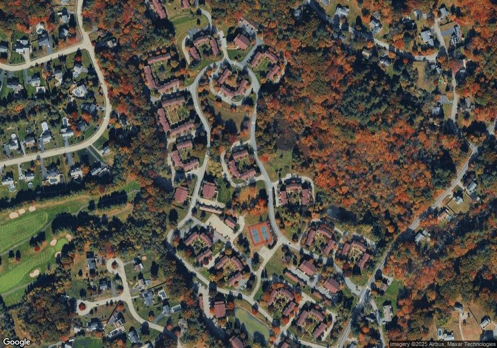
Map
Nearby Homes
- 72 Apache Way
- 47 Apache Way
- 258 Apache Way
- 127 Caddy Ct
- 107 Eagle Dr Unit 107
- 1283 Shawsheen St
- 41 Bridge St
- 55 Eagle Dr Unit 156
- 1101 South St
- 16 Eagle Dr
- 26 Ironwood Ln
- 1235 South St
- 20 Kensington Way Unit 20
- 640 South St
- 1418 Main St Unit 104
- 29 Decarolis Dr
- 18 Knollwood Rd
- 4 Villa Roma Dr
- 50 Nolan Ct Unit 50
- 14 Jill's Way Unit 14
- 63 Apache Way
- 62 Apache Way
- 61 Apache Way
- 68 Apache Way
- 67 Apache Way
- 66 Apache Way
- 65 Apache Way
- 67 Apache Way Unit 12
- 71 Apache Way
- 70 Apache Way
- 69 Apache Way
- 71 Apache Way Unit B
- 199 Apache Way
- 203 Apache Way Unit 37
- 210 Apache Way
- 209 Apache Way
- 208 Apache Way
- 207 Apache Way
- 206 Apache Way
- 205 Apache Way
Your Personal Tour Guide
Ask me questions while you tour the home.