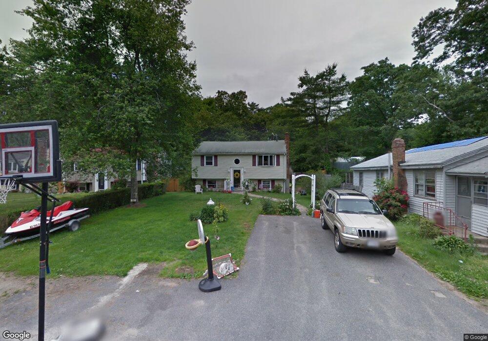
64 Arlene St Hanson, MA 02341
Estimated Value: $379,000 - $527,000
3
Beds
1
Bath
760
Sq Ft
$588/Sq Ft
Est. Value
About This Home
This home is located at 64 Arlene St, Hanson, MA 02341 and is currently estimated at $447,099, approximately $588 per square foot. 64 Arlene St is a home located in Plymouth County.
Ownership History
Date
Name
Owned For
Owner Type
Purchase Details
Closed on
Jun 15, 2015
Sold by
Fabroski Timothy J
Bought by
Kay Lindsey A
Current Estimated Value
Home Financials for this Owner
Home Financials are based on the most recent Mortgage that was taken out on this home.
Original Mortgage
$184,000
Outstanding Balance
$142,002
Interest Rate
3.65%
Mortgage Type
New Conventional
Estimated Equity
$305,097
Purchase Details
Closed on
Sep 19, 2014
Sold by
Deutsche Bk Natl T Co
Bought by
Fabroski Timothy J
Purchase Details
Closed on
Jul 5, 2012
Sold by
Fagan Peter J
Bought by
Long Beach Mtg Loan and Deutsche Bank Natl T C
Purchase Details
Closed on
May 12, 1987
Sold by
Burns Loraine R
Bought by
Fagan Peter J
Home Financials for this Owner
Home Financials are based on the most recent Mortgage that was taken out on this home.
Original Mortgage
$80,750
Interest Rate
9%
Mortgage Type
Purchase Money Mortgage
Create a Home Valuation Report for This Property
The Home Valuation Report is an in-depth analysis detailing your home's value as well as a comparison with similar homes in the area
Home Values in the Area
Average Home Value in this Area
Purchase History
| Date | Buyer | Sale Price | Title Company |
|---|---|---|---|
| Kay Lindsey A | $214,000 | -- | |
| Fabroski Timothy J | $55,000 | -- | |
| Long Beach Mtg Loan | $88,081 | -- | |
| Fagan Peter J | $85,000 | -- |
Source: Public Records
Mortgage History
| Date | Status | Borrower | Loan Amount |
|---|---|---|---|
| Open | Kay Lindsey A | $184,000 | |
| Previous Owner | Fagan Peter J | $110,000 | |
| Previous Owner | Fagan Peter J | $80,750 |
Source: Public Records
Tax History
| Year | Tax Paid | Tax Assessment Tax Assessment Total Assessment is a certain percentage of the fair market value that is determined by local assessors to be the total taxable value of land and additions on the property. | Land | Improvement |
|---|---|---|---|---|
| 2025 | $4,607 | $344,300 | $159,200 | $185,100 |
| 2024 | $4,474 | $334,400 | $154,600 | $179,800 |
| 2023 | $4,373 | $308,400 | $154,600 | $153,800 |
| 2022 | $4,233 | $280,500 | $140,500 | $140,000 |
| 2021 | $0 | $241,800 | $135,200 | $106,600 |
| 2020 | $5,256 | $233,600 | $130,500 | $103,100 |
| 2019 | $3,224 | $207,600 | $113,800 | $93,800 |
| 2018 | $3,161 | $199,700 | $109,400 | $90,300 |
| 2017 | $3,041 | $190,300 | $104,200 | $86,100 |
| 2016 | $3,088 | $186,600 | $104,200 | $82,400 |
| 2015 | -- | $152,500 | $104,200 | $48,300 |
Source: Public Records
Map
Nearby Homes
- 269 Lakeside Rd
- 127 Crescent Place
- 134 Crescent St
- 339 State St
- 66 Wildwood Rd
- 430 Brook Bend Rd
- 161 Winter St Unit 11
- 26 Stonebridge Dr
- 7 Andrew Dr
- 51 Farmside Dr
- 285 W Elm St
- 7 Farmside Dr
- Lot 6 Way
- 139 Fairwood Dr
- 60 Summer Path Way
- 108 Waterford Dr
- 84 Liberty St
- 10 Fir Rd
- Lot 5 Princeton Way
- 114 Graham Hill Dr
Your Personal Tour Guide
Ask me questions while you tour the home.