64 Baldknobber Dr Branson West, MO 65737
Estimated Value: $294,000 - $533,000
2
Beds
2
Baths
1,100
Sq Ft
$389/Sq Ft
Est. Value
About This Home
This home is located at 64 Baldknobber Dr, Branson West, MO 65737 and is currently estimated at $427,456, approximately $388 per square foot. 64 Baldknobber Dr is a home located in Stone County with nearby schools including Reeds Spring Primary School, Reeds Spring Elementary School, and Reeds Spring Middle School.
Ownership History
Date
Name
Owned For
Owner Type
Purchase Details
Closed on
May 27, 2022
Sold by
Stanley L Rankin Living Trust
Bought by
Sorensen Bradley S and Sorensen Susan L
Current Estimated Value
Home Financials for this Owner
Home Financials are based on the most recent Mortgage that was taken out on this home.
Original Mortgage
$430,000
Outstanding Balance
$407,336
Interest Rate
5.1%
Mortgage Type
New Conventional
Estimated Equity
$20,120
Purchase Details
Closed on
Feb 21, 2006
Sold by
Hees Harold L and Hees Jo Ann
Bought by
Layton John David and Layton Melinda L
Home Financials for this Owner
Home Financials are based on the most recent Mortgage that was taken out on this home.
Original Mortgage
$236,000
Interest Rate
6.05%
Mortgage Type
New Conventional
Create a Home Valuation Report for This Property
The Home Valuation Report is an in-depth analysis detailing your home's value as well as a comparison with similar homes in the area
Home Values in the Area
Average Home Value in this Area
Purchase History
| Date | Buyer | Sale Price | Title Company |
|---|---|---|---|
| Sorensen Bradley S | -- | None Listed On Document | |
| Layton John David | -- | -- |
Source: Public Records
Mortgage History
| Date | Status | Borrower | Loan Amount |
|---|---|---|---|
| Open | Sorensen Bradley S | $430,000 | |
| Previous Owner | Layton John David | $236,000 |
Source: Public Records
Tax History Compared to Growth
Tax History
| Year | Tax Paid | Tax Assessment Tax Assessment Total Assessment is a certain percentage of the fair market value that is determined by local assessors to be the total taxable value of land and additions on the property. | Land | Improvement |
|---|---|---|---|---|
| 2025 | $2,527 | $47,330 | -- | -- |
| 2024 | $2,523 | $47,330 | -- | -- |
| 2023 | $2,523 | $47,330 | $0 | $0 |
| 2022 | $2,511 | $26,510 | $0 | $0 |
| 2021 | $1,305 | $26,510 | $0 | $0 |
| 2020 | $1,150 | $26,510 | $0 | $0 |
| 2019 | $1,143 | $26,510 | $0 | $0 |
| 2018 | $1,141 | $26,510 | $0 | $0 |
| 2017 | $1,143 | $26,500 | $0 | $0 |
| 2016 | $1,111 | $26,500 | $0 | $0 |
| 2015 | $1,113 | $26,500 | $0 | $0 |
| 2014 | $1,095 | $26,500 | $0 | $0 |
| 2012 | -- | $26,500 | $0 | $0 |
Source: Public Records
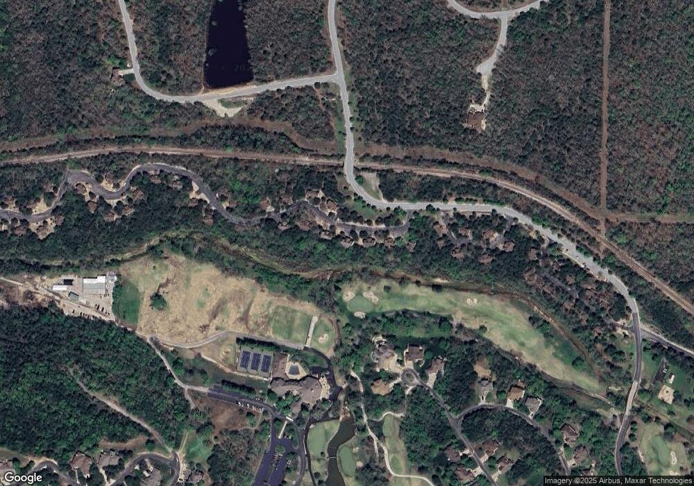
Map
Nearby Homes
- 60 Mayberry Cir
- 217 Baldknobber Dr Unit 30
- 1105 Ledgestone Ln
- 1704 Cedar Ridge Way
- 000 Beechwood Dr
- 1311 Stoneycreek Ln
- 801 Silvercliff Way
- 1304 Stoneycreek Ln
- 000 Baldknobber -1 25+ - Acres Dr
- 880 Black Forest Ln
- 41 Stepping Stone Way Unit 55
- 807 Silvercliff Way
- 603 Stoney Kirk Cir
- 113 Black Forest Ln
- Lot 205 Black Forest Ln
- Lot 175 Black Forest Ln
- 112 Black Forest Ln
- 108 Black Forest Ln
- 415 Silverwood Cir
- Lot 30 Roark Branch Rd
- 48 Baldknobber Dr Unit 20
- 80 Baldknobber Dr
- 80 Baldknobber Dr Unit 22
- 97 Baldknobber Dr Unit 28
- 34 Baldknobber #19
- 34 Baldknobber Dr Unit 19
- 104 Baldknobber Dr
- 104 Baldknobber Dr Unit 23
- 26 Baldknobber Dr
- 115 Baldknobber Dr Unit 27
- 115 Baldknobber Dr Unit 26
- 24 Badknobber Dr Unit 18
- 15 Baldknobber Dr
- 132 Baldknobber Dr Unit 24
- 129 Baldknobber Dr Unit 26
- 152 Baldknobber Dr
- 152 Baldknobber Dr Unit 28
- 145 Baldknobber #25 Dr
- 145 Baldknobber Dr
- 86 Mayberry Cir