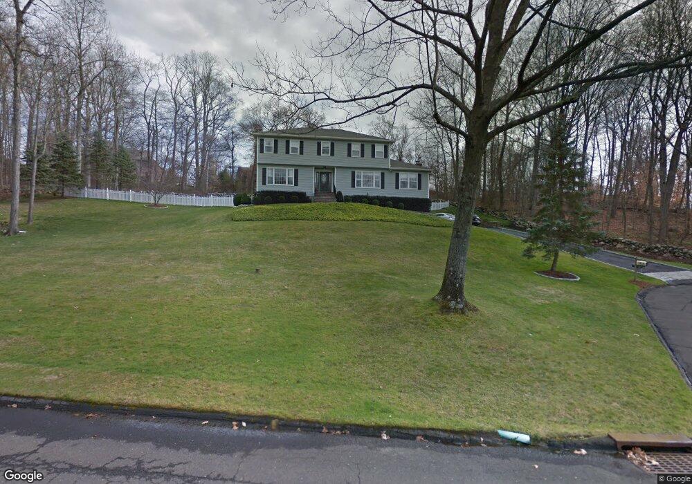
64 Blue Rock Dr Stamford, CT 06903
North Stamford NeighborhoodEstimated Value: $1,112,238 - $1,321,000
4
Beds
3
Baths
3,079
Sq Ft
$391/Sq Ft
Est. Value
About This Home
This home is located at 64 Blue Rock Dr, Stamford, CT 06903 and is currently estimated at $1,204,310, approximately $391 per square foot. 64 Blue Rock Dr is a home located in Fairfield County with nearby schools including Davenport Ridge Elementary School, Rippowam Middle School, and Stamford High School.
Ownership History
Date
Name
Owned For
Owner Type
Purchase Details
Closed on
May 28, 1991
Sold by
Fine Gilberte
Bought by
Vindigni Andrew and Vindigni Angela
Current Estimated Value
Home Financials for this Owner
Home Financials are based on the most recent Mortgage that was taken out on this home.
Original Mortgage
$180,000
Interest Rate
9.3%
Mortgage Type
Unknown
Create a Home Valuation Report for This Property
The Home Valuation Report is an in-depth analysis detailing your home's value as well as a comparison with similar homes in the area
Home Values in the Area
Average Home Value in this Area
Purchase History
| Date | Buyer | Sale Price | Title Company |
|---|---|---|---|
| Vindigni Andrew | $380,000 | -- |
Source: Public Records
Mortgage History
| Date | Status | Borrower | Loan Amount |
|---|---|---|---|
| Closed | Vindigni Andrew | $103,000 | |
| Closed | Vindigni Andrew | $180,000 | |
| Previous Owner | Vindigni Andrew | $341,250 | |
| Previous Owner | Vindigni Andrew | $275,000 |
Source: Public Records
Tax History Compared to Growth
Tax History
| Year | Tax Paid | Tax Assessment Tax Assessment Total Assessment is a certain percentage of the fair market value that is determined by local assessors to be the total taxable value of land and additions on the property. | Land | Improvement |
|---|---|---|---|---|
| 2025 | $13,613 | $584,990 | $264,220 | $320,770 |
| 2024 | $13,314 | $584,990 | $264,220 | $320,770 |
| 2023 | $14,309 | $584,990 | $264,220 | $320,770 |
| 2022 | $12,387 | $470,470 | $203,540 | $266,930 |
| 2021 | $12,218 | $470,470 | $203,540 | $266,930 |
| 2020 | $11,917 | $470,470 | $203,540 | $266,930 |
| 2019 | $11,917 | $470,470 | $203,540 | $266,930 |
| 2018 | $11,503 | $470,470 | $203,540 | $266,930 |
| 2017 | $11,419 | $446,240 | $198,360 | $247,880 |
| 2016 | $11,076 | $446,240 | $198,360 | $247,880 |
| 2015 | $10,772 | $446,240 | $198,360 | $247,880 |
| 2014 | $10,402 | $446,240 | $198,360 | $247,880 |
Source: Public Records
Map
Nearby Homes
- 474 Ponus Ridge
- 185 Interlaken Rd
- 113 Skyview Ln
- 105 N Stamford Rd
- 470 Frogtown Rd Unit Lot 1
- 357 Jelliff Mill Rd
- 119 Wedgemere Rd
- 39 Running Brook Ln
- 60 Redmont Rd
- 19 Skymeadow Dr
- 49 Pinner Ln
- 1552 Hope St
- 210 Red Fox Rd
- 42 Hannahs Rd
- 164 Janes Ln
- 139 Jelliff Mill Rd
- 202 Weed St
- 7 the Reserve at Sterling Ridge
- 40 Hoyclo Rd
- 77 Aspen Ln
- 69 Blue Rock Dr
- 65 Blue Rock Dr
- 120 Davenport Farm Ln W
- 130 Davenport Farm Ln W
- 93 Blue Rock Dr
- 54 Blue Rock Dr
- 53 Blue Rock Dr
- 85 Blue Rock Dr
- 160 Davenport Farm Ln S
- 110 Davenport Farm Ln W
- 140 Davenport Farm Ln W
- 125 Davenport Farm Ln W
- 135 Davenport Farm Ln W
- 52 Blue Rock Dr
- 129 Quarry Rd
- 113 Quarry Rd
- 37 Blue Rock Dr
- 150 Davenport Farm Ln W
- 170 Davenport Farm Ln S
- 36 Blue Rock Dr